
Heavy Rain, Flooding, and Chance of Severe Weather Staring Down the Southern U.S.
January 22, 2024
Posted: November 4, 2023 9:43 am


‘Tis the season for the atmospheric rivers to begin to set up across the West Coast. The Pacific Northwest will be under the gun for this weather maker in the coming days, increasing the risk of flooding across the region well into next week. Here is what you need to know about this soggy forecast.
More Heavy Rain in the Forecast for the Northwest
The second of three rainmakers is currently pushing into the Northwest to start the weekend. This system follows a midweek storm that gave the area a taste of what is to come with this unsettled pattern.
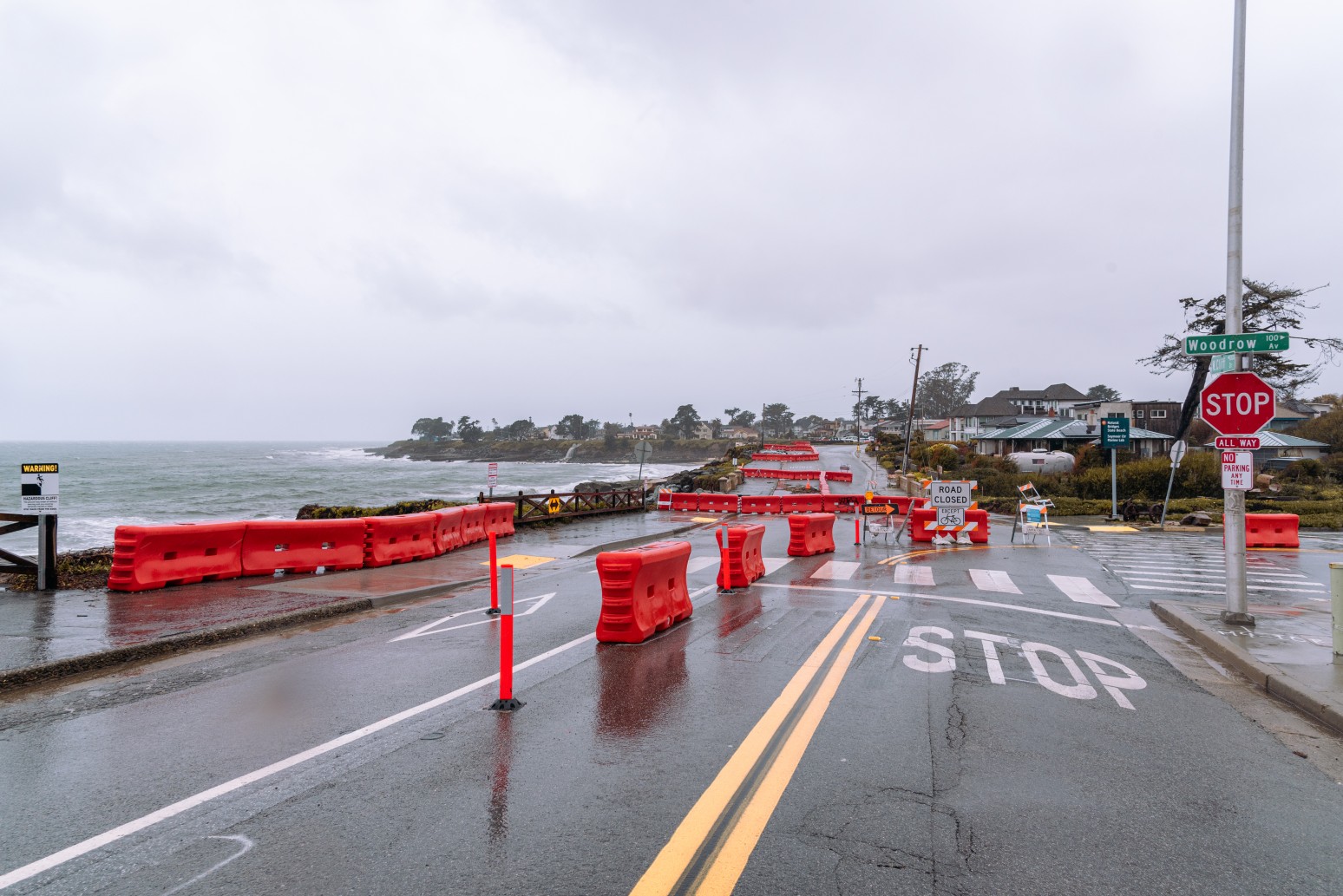
Rainfall will be measured in inches in parts of Washington, Oregon, and California through at least Tuesday. The hardest hit areas could see a foot of rainfall when last Wednesday’s storm is added to the total. This rain will inevitably cause travel complications and raise the risk of flooding.
As is typical with these November storms coming in from the Pacific Ocean, the pattern will also feature gusty winds. Any leaves remaining on the trees will likely be a thing of the past by this time next week thanks to the blustery conditions.
It has already been a wet start to November for the Northwest. Heavy rain hit an area stretching from the Seattle area, down into Portland, and the northwestern corner of California on Wednesday. Some areas picked up 1 to 5 inches of rain with this first system of the series.
Warmer air pushed through with this storm, keeping the snow levels well above the passes in the Cascades and the northern Rockies. Forecasters are predicting that this same mild Pacific air will keep any potential snow high enough that it will not impact motorists.

Atmospheric River to Blame for Mass Amounts of Moisture
The next two storms are the result of a deep atmospheric river that is funneling in mass amounts of moisture from the Pacific. The first of these next two systems began to impact the coastal areas of the Northwest late Friday. The heavy rain will hit farther inland by Saturday morning, bringing significant amounts of moisture to cities such as Seattle and Portland to kick off the weekend.
While the rain will be a part of two separate systems, lingering showers between the exit of the first and the arrival of the second will make it difficult to discern when one storm is over and the next one is beginning. The rain associated with these last two systems will be heavier than what the mid-week storm brought.
Rainfall of this magnitude will be enough to create a substantial risk of flash flooding, mudslides, and other types of debris flows. The small rivers and streams that flow down from the western slopes of the Cascade Mountains and the Olympics will take on a great amount of rain.
High winds will also be an issue through early next week. The National Weather Service (NWS) has issued a number of high wind warnings and advisories for the coastal areas of Washington state and northern Oregon. Some portions of south-central Oregon and Northern California are also under these alerts. Gusts may hit as high as 60 mph, bringing down branches and small trees.
Moisture Good News for Drought-Stricken Region
Despite the weekend shaping up to be a washout for many communities, the moisture is good news for the parts of the Northwest that have been grappling with growing drought conditions. It was an especially dry summer and fall for this part of the country, leaving the grounds dry and in dire need of moisture.
Forecasters are hopeful that this train of storms will chip away at the drought heading into the winter months. According to the last report from the U.S. Drought Monitor, a large swath of the Northwest is under the designation of severe to extreme drought. Up to 80% of Washington and Oregon is at least abnormally dry under these parameters.
This upcoming weekend storm is expected to bring drought-busting rain to the areas that need it the most. This includes the coastal areas of the region and up into the foothills of the Olympics and the Cascades.
The region will be in for drier conditions by the middle of next week as the atmospheric river moves back offshore. However, forecasters will be keeping an eye on the development of more rain by the end of the week and into the next weekend.
Did you find this content useful? Feel free to bookmark or to post to your timeline for reference later.

January 21, 2024

January 19, 2024

January 18, 2024
