
Heavy Rain, Flooding, and Chance of Severe Weather Staring Down the Southern U.S.
January 22, 2024
Posted: March 8, 2023 4:45 pm


California is under the threat of a new atmospheric river setting up over the state later in the week. This river will bring rain to the higher elevations that have been experiencing heavy snow lately, raising the risk of flooding as the rain melts the snow on contact. Read on for all of the latest about this developing atmospheric river.
While it was snow that had been the problem for the last several weeks across the Sierra Nevada, it will be rain triggering the issues by the end of the week. A powerful storm system containing warmer air is churning over the Pacific Ocean, moving closer to California with its massive amounts of precipitation.
This potent weather maker has the potential of creating flooding rainfall, more snow for the highest terrains, strong winds, and mudslides. The state will begin to feel the strongest impacts late Thursday.
An atmospheric river is the term used to describe a plume of moisture that gets its start in the tropics. The plume creates a fire hose effect, spraying rain and snow to those in its path. This upcoming atmospheric river is forecast to set up on Friday and last through Saturday, sending significant amounts of moisture to the northern and central portions of the state.
A line of subtropical moisture in the Pacific Ocean is stretching for over 2,000 miles, fueling this atmospheric river. While the atmospheric rivers that impacted the state over the last few months brought mostly snow to the higher elevations, warmer temperatures in place as the storm fires up will bring the freezing level up thousands of feet. This will translate to more of the high country experiencing rain rather than snow.
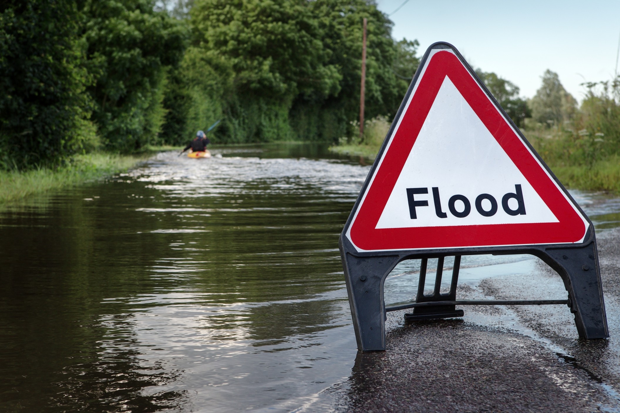
For example, the onset of the storm will bring rain to the mountain passes all the way up to 8,000 feet across the central and northern Sierra Nevada. This snow level will begin to fall by the weekend but there will be enough rain at the start of the impacts to trigger snowpack melt. This melt will lead to the potential of swift runoff and flooding across the intermediate elevations.
The Coast Ranges could see 4 – 8 inches of rain out of this one system. This amount of rain will be most prolific in the middle elevations and the west-facing slopes. Rainfall of this amount will almost certainly cause flash flooding and debris flows.
Forecasters are also warning about the possibility of avalanches in the higher terrains. This warning is coming as a result of the different consistencies of the snow pairing with the strong winds.
Southern California will likely dodge the greatest impacts of this upcoming weather maker as the atmospheric river targets the northern half of the state. The bulk of the precipitation is predicted to fall north of Point Conception in Santa Barbara County. This forecast is good news for the mountain resort towns in the southern part of the state that are still cleaning up from the record-breaking snowfall of the last few weeks.
Despite the presence of heavy rain in this system, elevations over 7,000 feet are still bracing for snowfall measured in feet. This will inevitably disrupt travel over the passes of Interstate 80. This area was hammered by a snowstorm that impacted the region last weekend and into the early parts of this week.
Some of the most impressive snow totals this week were 31 inches in Donner Park and 38 inches in Soda Springs. This snow is predicted to wrap up by late Wednesday, giving the area a day or two to catch its breath before the atmospheric river sets up.
More moisture is on the way for the West Coast next week, setting California up for additional rain and snow. Although this next round will likely focus on the northern part of the state, some of the rain is expected to hit Southern California.
Forecasters are predicting that the ongoing drought in the Golden State will be nearly erased by the summer as a result of this winter’s stormy weather pattern. For instance, San Francisco will have tallied over 30 inches of rain for the wet season by the time this latest system wraps up. The official rain year in California is measured between the dates October 1 through September 30. From the start of October to March 8, San Francisco International Airport has seen over 24 inches of rain, already well over the average for the entire year of 19.64 inches.
The eradication of the drought is being credited to the massive amounts of snow that has fallen across the Sierra Nevada this winter. This snow has greatly increased the snowpack in the region, providing hope that there will be plenty of snowmelt this spring and summer to fill the state’s water reservoirs.
It should also be noted that the expected runoff in the coming weeks is not even being baked into the drought index. This snowmelt will inevitably lead to more drought relief. Experts predict that the current snowpack level will equate to 80 inches of water as it melts.
The downside of this drought relief is that the rapid snowmelt will create major flooding issues. Forecasters are warning residents of the region that they need to be prepared for this scenario in the coming months.
The Desert Southwest is predicted to continue to see drought conditions. The snowpack in this region will certainly help to fill the Colorado River and Lake Mead, however, it will take an active monsoon season this summer to put a real dent in the drought index in this corner of the U.S.
Did you find this content useful? Feel free to bookmark or to post to your timeline for reference later.

January 21, 2024

January 19, 2024

January 18, 2024
