
Heavy Rain, Flooding, and Chance of Severe Weather Staring Down the Southern U.S.
January 22, 2024
Posted: January 18, 2023 11:09 am


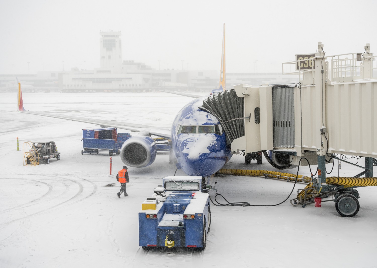
The Denver metropolitan area is bracing for what could end up being its biggest snowstorm of the season so far. The Mile High City has already recorded over 25 inches of snow since the beginning of November with this latest storm aiming to bring even more accumulation in the days to come. Denver will not be the only major U.S. city to feel the impacts of this storm. Read on for all of the details.
The snow began bearing down on Denver late Tuesday. This snowfall is forecast to continue through Wednesday. It is likely that residents of the metro area and beyond will be dealing with a messy Wednesday morning commute with the worst of the conditions expected during this time frame.
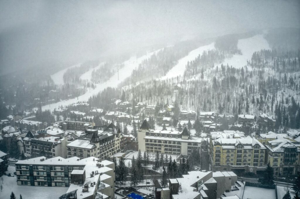
The city is predicted to see about 6 to 10 inches of snow in the downtown area. The foothills to the west of the city toward the Rocky Mountains will likely see higher amounts with the hardest-hit communities seeing up to a foot of new accumulation by the time that the storm exits the region and moves out onto the Plains.
The biggest snowstorm this season happened on December 28 and 29 when the city recorded 7.1 inches of snow. This weather event snarled travel across Interstate 70 heading out of the city, leaving some motorists stranded in their vehicles for up to eight hours.
Denver is no stranger to January snow storms. However, despite this month falling during the height of winter, it is not the city’s snowiest month on average. The city has averaged 6.6 inches of snow during the first month of the year, according to records that date back to the 1880s.
Surprisingly, March generally clocks in as the snowiest month of the year for Denver and its environs. This month averages about a foot of snow with January only coming in as the fifth-snowiest month in Colorado’s capital city.
It is important to remember that these numbers are just averages. January 2022 saw 13.4 inches of snow, translating to double the average amount for that month. January 1992 saw 24.3 inches of snow with 13.8 of those inches coming over a period of just one day.
With colder temperatures on tap for the balance of the week, any snow that does fall in Denver over the next day or two is likely to stick around for some time. The mercury is forecast to hover around the freezing mark for the next few weeks.
After hammering Denver with a significant amount of snow, the system is forecast to keep moving to the east over the next few days. Cities in the primary impact zone include Omaha and Minneapolis. The greatest amount of snow is predicted to fall in a zone along Interstate 80 through Nebraska and across portions of Interstate 29 stretching from Omaha up to Sioux Falls, South Dakota.
Snowfall accumulations of at least one foot are possible in this area. This will lead to the risk of major road closures as the snow mixes with the gusty winds to reduce visibility to near zero on Wednesday.
The weather maker is expected to arrive in Minneapolis late Wednesday and into Thursday. While the entirety of the Twin Cities is predicted to see snow out of this system, the accumulation will be the greatest in the southern and eastern edges of the metro area. Prepare for a dicey Thursday morning commute if you live in this part of Minnesota.
Meanwhile, the southern edge of the system will be at risk of seeing sleet and freezing rain. This includes a zone stretching from northern Kansas and southeastern Nebraska into the southern tier of Iowa and Michigan’s lower peninsula.
The storm system will likely run out of steam by the time that it reaches the Great Lakes on Friday. As a result, this part of the country will only be under the gun for a few lingering snow flurries to end the week.
Did you find this content useful? Feel free to bookmark or to post to your timeline for reference later.

January 21, 2024

January 19, 2024

January 18, 2024
