Heavy Rain, Flooding, and Chance of Severe Weather Staring Down the Southern U.S.
January 22, 2024
Posted: December 7, 2020 7:28 pm


Even though the official state of winter is not for another few weeks, the East Coast has already experienced its first nor’easter of the season. Not only did the region fall under the wrath of this classic winter storm, but this nor’easter took it one step further and intensified into a bomb cyclone.
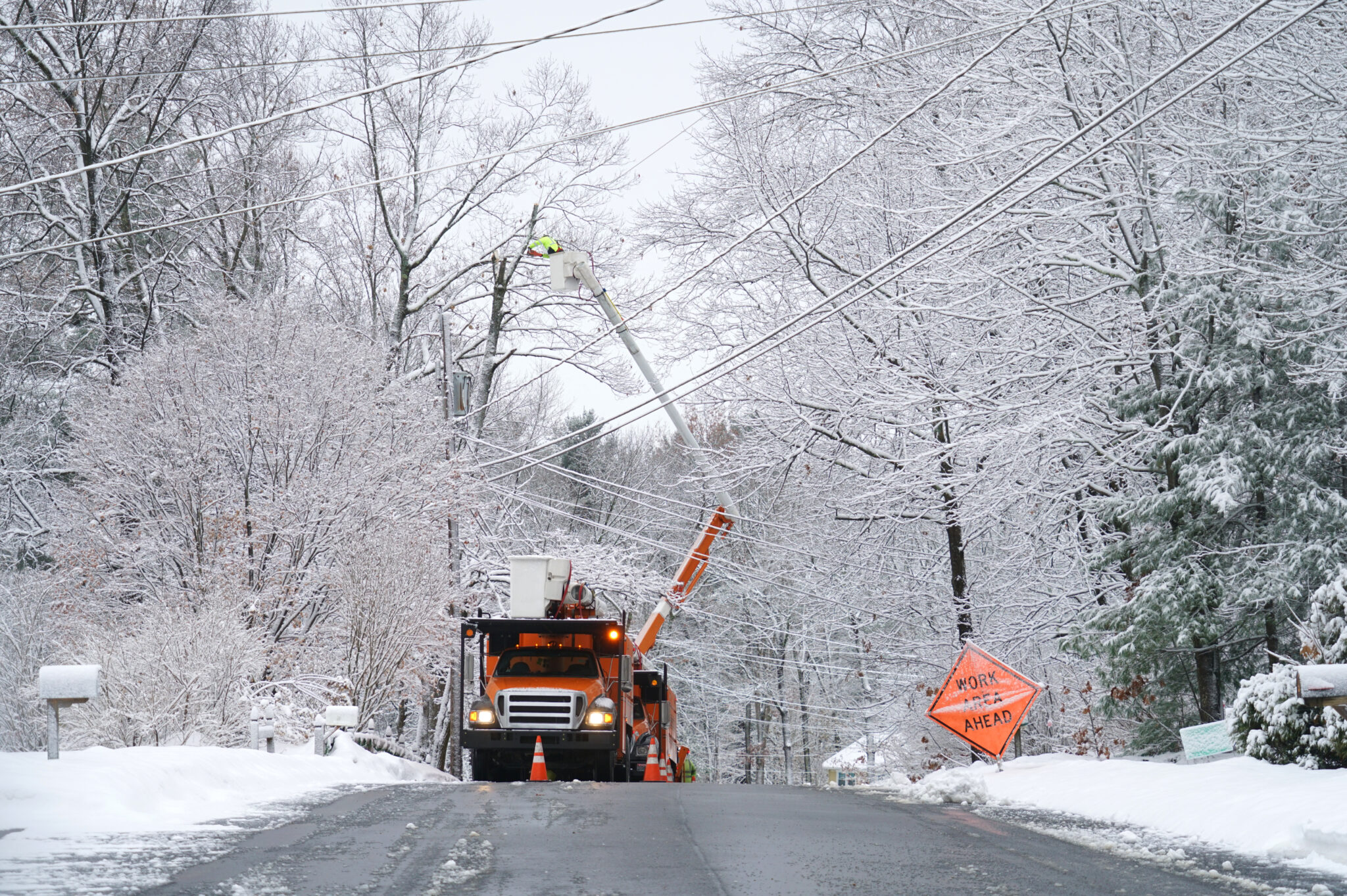
New England Under the Gun: Widespread power outages blanketed the area as winds reached nearly 70 mph and some parts of the affected region saw snowfall amounts of up to one foot. Maine saw over 200,000 power outages with New Hampshire reaching almost 60,000 outages as of Sunday morning.
Despite the high winds, most of the power outages were the result of the heavy and wet snow. Wolfeboro, New Hampshire saw measurable snow of about one foot. Residents in Paxton, Massachusetts woke up to just a smidge over a foot of snow. The highest elevations of Mount Washington, New Hampshire saw 17.9 inches of snow by noon on Sunday.
Forecasters Warned of Bomb Cyclone: Late last week, forecasters began to warn residents of New England about the strong possibility of the bomb cyclone developing. Earlier in the week, the system brought heavy snow to the southern Plains, sending the signal that the Eastern Seaboard may be in for a walloping. The system began to intensify as it moved off of the coast, going through the process known as Bombogenesis.
Prior to the Bombogenesis cycle, the storm brought drenching rain and severe thunderstorms across the Southeast and mid-Atlantic region throughout Friday night and into Saturday. The Boston area began to see heavy rain by mid-day Saturday. Eventually, this rain switched over to snow as the Bombogenesis took place Saturday night.
Adverse Road Conditions Snarl Traffic: As the storm began to intensify throughout the day on Saturday, it did not take long for road conditions to deteriorate throughout much of New England. Massachusetts State Police were forced to initiate speed restrictions on parts of I-90 due to the icy conditions. Over 1,800 road plows and treatment machines are currently working throughout Massachusetts to prepare the roads for the Monday commute.
Warmer Weather on Tap for Plains Before Winter Arrives Again: After last week’s blast of winter, the Plains will enjoy another round of warmer than average temperatures. Cities such as Oklahoma City, Omaha, and Denver may see temperatures reaching as high as 60 degrees by Tuesday. Minneapolis and Chicago will likely top out around 50 degrees, well above average for the beginning of December.
Residents should enjoy the warm and dry conditions while they can. A storm is expected to emerge from the southern Rocky Mountains later in the week. Areas of Texas, Oklahoma, and Kansas will likely see rain as the system moves to the east. As cooler air is drawn down from Canada, more seasonable temperatures will begin to settle in. While it is still too early to pinpoint, the storm is expected to bring significant snowfall to parts of the Great Lakes and Upper Midwest by the end of the workweek.
Southern California Braces for More Santa Ana Winds: The 2020 California wildfire season just will not let up. Although the weekend has been relatively quiet, forecasters are warning that the Santa Ana winds are expected to kick up again early in the week. The National Weather Service (NWS) offices in San Diego and Los Angeles have issued new fire weather watches for the region in anticipation of the windy conditions. These watches come just after the red flag warnings were allowed to expire.
The Santa Ana winds are expected to peak late Monday into Tuesday. The strongest gusts are predicted to reach 40-60 mph. These high winds can cause fires to erupt and spread in just minutes. Ahead of the predicted winds, CalFire warned residents to be prepared with an emergency supply kit on hand.

January 21, 2024

January 19, 2024

January 18, 2024