
Heavy Rain, Flooding, and Chance of Severe Weather Staring Down the Southern U.S.
January 22, 2024
Posted: January 20, 2023 11:24 am


Californians are breathing a sigh of relief as drier conditions have set up over the state to end the week. It has been a much-needed reprieve from the relentless rain and snow that pummeled the Golden State over the last several weeks? How long will the dry weather pattern last? Read on for all of the details.
It was a rocky end to December and beginning of January for nearly all of California. A persistent train of storms coming in from the Pacific Ocean was able to usher in mass amounts of subtropical moisture to the region. While this moisture has been extremely beneficial for the ongoing drought in the state, it also brought deadly flooding and mudslide events.
The weather pattern has shifted in the last few days as an area of high pressure continues to build over much of the West Coast. The position of this high pressure will send storms farther to the north so that they are not able to draw in significant amounts of tropical moisture. The high pressure will also act as a roadblock, keeping the storms from slamming into the coast of California with regularity.
Instead of California seeing the precipitation in the coming days, it will be areas to the north in the Pacific Northwest as well as areas to the south in the Desert Southwest that are the beneficiaries. For instance, a new storm system is forecast to hit the interior Southwest on Friday. However, this system will be minimal compared to the weather that the West Coast has seen over the last few weeks.
One of the biggest issues with this particular weather maker will be windy conditions. Because the soil in this part of the county is so saturated, just a little bit of wind may bring down trees that have taken on this extra water.
Another storm located in the upper levels of the atmosphere this weekend may also trigger potentially dangerous Santa Ana winds in the southern portion of California and what are known as Diablo winds in the San Francisco area. The threat of these winds could last into next week.
Although California will experience a relatively dry weather pattern through the rest of January, the long-range forecast is predicting that the stormy conditions may set in again by the beginning February. This active weather pattern will spell more chances of heavy rain and mountain snow.
The onset of more storms will be blamed on a northwest bulge in the jet stream. This movement will provide more chances for storms to move to the south into California instead of sliding over into the Southwest. The greatest chance for storms will happen in the beginning of February before the bulge moves back to the coastal areas.
The good news for those already tired of the immense precipitation is that the early February forecast is not calling for as much tropical moisture. This means that any storms that do fire up will not likely pack the same amount of energy as what the state was dealing with at the beginning of January.
Looking ahead even further, more storms are on the horizon for the end of February and into early March. This would be a departure from what the region saw last winter when the storm pattern dried up considerably after a wet December. This lack of moisture contributed to the extreme drought conditions that have plagued the state until very recently.
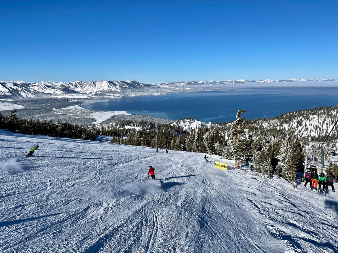
In addition to the coastal areas experiencing a surplus of rain lately, the Sierra Nevada has been slammed with exceptional amounts of snowfall. As a result, the snowpack is trending well above normal at this point in the winter season.
According to the latest release of data from the U.S. Drought Monitor, the storms of the last few weeks have gone a long way to help to relieve the dry conditions. California is no longer under the designation of an exceptional drought thanks to this immense moisture.
However, this is a double-edged sword for the upcoming fire season. While the moisture is certainly good news, particularly as it relates to snowpack and spring runoff, the surplus of water will also encourage faster growth of grass and brush. This will provide more fuel for fires during the dry and hot summer months. It will become even more important that people are careful when handling fire during this time of the year.
Did you find this content useful? Feel free to bookmark or to post to your timeline for reference later.

January 21, 2024

January 19, 2024

January 18, 2024
