Heavy Rain, Flooding, and Chance of Severe Weather Staring Down the Southern U.S.
January 22, 2024
Posted: September 8, 2021 12:14 pm


Active Weather Pattern Will Also Raise Risk of Strong Winds and Tornadoes
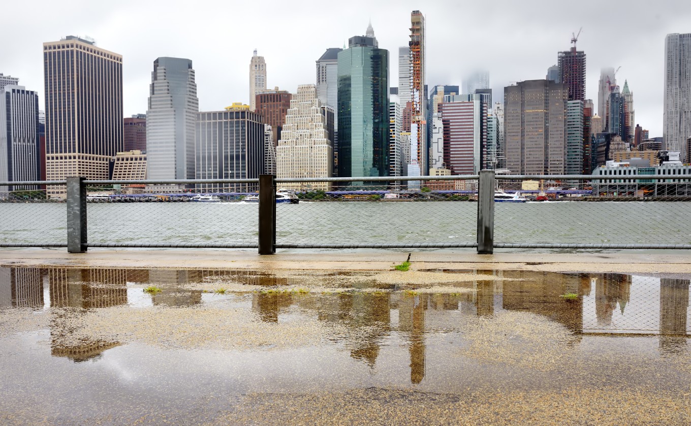
Mother Nature is set to deliver another round of wet weather to the Northeast, an area still cleaning up from the destructive and deadly effects of Tropical Rainstorm Ida.
Residents in this storm-weary region are bracing for another round of showers and thunderstorms. This onslaught of moisture may trigger more flooding in the coming days as the cleanup efforts from Ida continue.
Ida moved through New York City and beyond last week, bringing about historic flooding that took the lives of at least 50 people in the Northeast. Fortunately, the rain stopped as quickly as it came on, giving residents the chance to dry out. However, this mild weather pattern is about to end on Wednesday with more rain and potentially severe weather on the way.
A cold front that delivered stormy conditions over the Great Lakes on Tuesday is moving into the Northeast on Wednesday. This front will bring multiple rounds of rain and severe thunderstorms as it moves through the region.
Ohio, northwestern Pennsylvania, and western New York state will see the first of the precipitation on Wednesday. This moisture will gradually spread farther to the east as the front inches closer to the East Coast.
The active weather system will bring the chance of heavy downpours and strong winds through Friday for much of the Northeast.
Most of the affected areas will see rainfall amounts around half an inch. However, localized amounts ranging from 1 to 2 inches are possible in some cities up and down the East Coast. The heaviest rain is forecast to fall in the interior Northeast and through the populated Interstate 95 corridor late Wednesday.
Although an inch or two of rain is not generally a problem for this part of the US, the previously saturated grounds may have a difficult time absorbing this additional moisture. For example, New York City has measured over 300% of its normal rainfall amount since August 1. Other areas that have seen over 200% of the average amount of rain for this time period include Boston and Washington, DC.
Forecasters are warning motorists to be particularly careful as sudden downpours may flood roads and affect visibility.
In addition to the heavy rains, this system is also expected to bring gusty winds to a widespread area. It will not take particularly strong wind gusts to uproot trees that have already been weakened by the saturated soil. There is also a slight risk of isolated tornadic activity. The greatest threat of tornadoes will be in the area stretching from the Chesapeake Bay up into eastern New York state and the western half of New England.
The rain and threat of severe weather will begin to move out of the region by Friday. Behind this front will be a mass of cooler air, making the mercury drop to as much as five degrees below normal for this time of the year. The cooling temperatures will accompany lower humidity levels.
The rain will hang around through Friday in the northern and eastern sections of New England, including the city of Boston.
The same front that is bringing this stormy and unsettled weather pattern to the East Coast in the middle part of the week will also push Hurricane Larry away from the US and into Atlantic Canada.
A ridge of high pressure will set up over the Ohio Valley on Friday. This will push drier air into the area for the weekend.

January 21, 2024

January 19, 2024

January 18, 2024