
Heavy Rain, Flooding, and Chance of Severe Weather Staring Down the Southern U.S.
January 22, 2024
Posted: June 28, 2023 3:12 pm


Forecasters are closely monitoring the potential of fast-moving storms that could take on the characteristics of a derecho later in the week across a large portion of the nation’s heartland. Here is what you need to know about this risk.
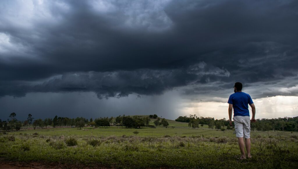
A derecho behaves similar to a hurricane that forms on land, producing damaging winds and torrential rain as it cuts across a large area of land. There are specific criteria established by the National Weather Service (NWS) to define a derecho.
For instance, a storm needs to have traveled for at least 400 miles across a width of at least 60 miles in order to qualify as an official derecho.
Even if an officially defined derecho does not form this week, the line of storms will likely be enough to produce some degree of damage. These storms are forecast to erupt just north of the heat dome that has taken up residence over the southern Plains this week.
The greatest risk of storms will take place on Thursday afternoon. The areas most at risk include northern Kansas, northwestern Missouri, southwestern Iowa, and the bulk of Nebraska. Any storms that form in this area on Thursday afternoon may hang on until late Thursday under the cover of darkness.
A secondary derecho threat will fire up in the middle part of the Mississippi River Valley and into some parts of the Ohio and Tennessee valleys. These storms with the potential of derechos are most likely to ignite on Friday.
The threat of the derechos may stretch as far east as the southern and central Appalachians depending on the longevity of these storm complexes. You will want to keep an eye on this situation if you live in this part of the country.
The run-of-the-mill thunderstorm risk will also be a concern across a widespread portion of the Midwest on Thursday afternoon. This potential impact zone includes parts of Indiana, Illinois, western Ohio, and into Kentucky.
The storms may push to the southeast through the night Thursday and into Friday. It is also possible that multiple rounds of storms may fire up over a short period of time in this area.
The most recent severe derecho took place in August of 2020, resulting in over $11 billion in damages along with at least four confirmed fatalities. This derecho destroyed crops with its high winds as it plowed through an area from eastern Nebraska and into Michigan. The damage stretched for almost 800 miles with peak wind gusts of over 125 mph recorded in Iowa.
A June 2012 derecho inflicted significant damage to the nation’s capital as it moved on the ground for 800 miles from Iowa all the way to the Delmarva Peninsula. These events have demonstrated the true destruction of these powerful weather events.
Prior to the derecho risk on Thursday and Friday, the northern Plains and Colorado Rockies will be under the gun for severe weather development on Wednesday. This includes the risk of storms for eastern Montana, Wyoming, and Colorado.
The line of storms will extend from the Dakotas, through Nebraska, and into parts of Iowa, Minnesota, and Wisconsin.
Other parts of the U.S. that may see storms develop on late Wednesday include the lower Mississippi Valley and down into the central portions of the Gulf Coast. Both areas of severe weather will present the usual risks of high winds, flash flooding, large hail, and isolated tornadoes.
Looking ahead to the weekend, the heat dome anchored over the south-central U.S. will begin to dissipate. This will translate to more stable atmospheric conditions and a lower risk of derecho development. As is typical with this time of the year, there will still be the risk of regular thunderstorms in the nation’s midsection.
Did you find this content useful? Feel free to bookmark or to post to your timeline for reference later.

January 21, 2024

January 19, 2024

January 18, 2024
