
Heavy Rain, Flooding, and Chance of Severe Weather Staring Down the Southern U.S.
January 22, 2024
Posted: July 9, 2023 10:44 am


Meteorologists are keeping a close watch on both the Atlantic and East Pacific basins for signs of tropical development as the hurricane season kicks into high gear. The Atlantic Ocean has already produced three named storms this year, a bit ahead of the average for the second week of July. However, forecasters are not predicting any movement in the coming days.
It could be a different story for the East Pacific with signs that trouble could be brewing. Meanwhile, meteorologists are predicting that the Saharan dust cloud currently moving across the Atlantic and impact the U.S. this weekend. Here is the latest update on the tropics.

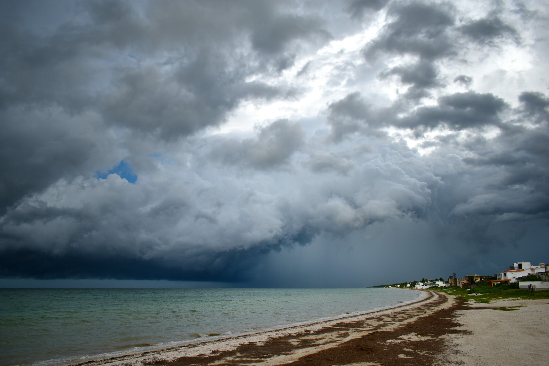
The area off of the southern coast of Mexico has all the ingredients needed for tropical development through the middle of July. In fact, hurricane experts are predicting the high likelihood of an area of low pressure forming shortly in the warm ocean waters in this part of the Pacific Ocean. This low pressure could produce a tropical depression as soon as this weekend.
In addition to the bathwater temperatures in this zone, the area is also lacking in wind shear. The absence of wind shear is a key factor in tropical formations. Because of these ingredients, forecasters are growing increasingly confident that the third tropical feature of the East Pacific season will take root in the coming days.
The current steering winds will likely send any development to the west. This track would avoid any major land masses as the storm is directed away from North America. However, the tropical moisture associated with a feature of this magnitude could impact parts of southern Mexico. The system may also create rough surf conditions and dangerous rip currents along the southern Coastline of Mexico. You will want to stay abreast of this forecast if you are traveling to this region of Central America.
Calvin and Dora are the two names up next on the East Pacific list.
Although a handful of tropical waves are forecast to move off the coast of Africa and into the Atlantic Ocean this week, a number of hostile ingredients will mitigate the chance of development. A large mass of Saharan dust moving across the central portions the basin will pair with potent wind shear to hinder any tropical development over the coming week
However, the moisture associated with these waves could translate to significant amounts of rain for the Windward and Leeward island through at least the middle of July. Those interests in this part of the Caribbean will want to be prepared for this moisture.
The strengthening of the El Niño pattern will continue to disrupt tropical development in the Atlantic. This is because this climate pattern tends to create more vertical wind shear that breaks up the storms associated with tropical features, stymying their intensification and growth.
The next named storm in the Atlantic basin will go by the name of Don.
While it was the smoke from the Canadian wildfires to the north impacting air quality conditions across much of the eastern U.S. this summer, it will be a different danger coming from the southeast this weekend. Meteorologists are keeping an eye on several massive clouds of dust moving across the Atlantic Ocean. These clouds may make it to the southeastern corner of the U.S. by the end of the weekend, leading to negative impacts on the air quality.
The dust cloud originated from the Saharan Desert, a typical occurrence this time of the year. It is not unusual for the dust cloud to move as far west as the eastern coast of the U.S. The dust was so dense that it was easily spotted on satellite images this week.
The cloud of Saharan dust currently circulating over the Caribbean Sea is expected to reach the coastline of Florida by Saturday. By Sunday, the cloud of dust could move over the Gulf Coast region of Texas, Mississippi, Louisiana, and Alabama.
Some residents of this area may recall the Saharan dust cloud of 2020 that hit during the height of the pandemic. While this event is not likely to bring dust of that magnitude, it could still be enough to bring air quality conditions down.
The dust may serve to also bring down temperatures slightly by blocking the sunlight that filters down from the sky. This would be a relief for Floridians who have been dealing with unseasonably warm temperatures over the last several days.
This weekend’s Saharan dust cloud may serve as an appetizer to a bigger mass expected to move across the Atlantic Ocean next week. Strong trade winds will usher the dust over the basin and toward the Caribbean by early next week. This dust could hit Florida by Tuesday. Air quality conditions could quickly deteriorate across the Dominican Republic, Puerto Rico, Haiti, and Cuba before conditions worsen in the Sunshine State.
Residents along the U.S. Gulf Coast will want to monitor air quality conditions over the next few days. Like smoke from wildfires, the Saharan dust is most likely to impact vulnerable populations such as the elderly, young children, and those with preexisting health conditions. In addition to irritating the eyes and skin, the dust can trigger respiratory issues or cardiovascular events.
The one redeeming quality of the Saharan dust cloud is that it tends to temper tropical development in the Atlantic basin. Tropical waves that come off the coast of Africa need moist air to fully develop. The presence of dust inhibits this moisture-rich air.
As a result, forecasters with the National Hurricane Center (NHC) are not expecting much development in the tropics through at least next week. However, this dust will likely begin to dissipate shortly, leading the way for more tropical features to get started and to grow.
Did you find this content useful? Feel free to bookmark or to post to your timeline for reference later.

January 21, 2024

January 19, 2024

January 18, 2024
