
Heavy Rain, Flooding, and Chance of Severe Weather Staring Down the Southern U.S.
January 22, 2024
Posted: October 6, 2023 1:35 pm


The upcoming winter season may look different than the last few years thanks to the emergence of El Niño. This climate pattern will influence the weather during the winter months. What can you expect? Read on for the details.
What is El Niño?
El Niño is one of three distinct climate phases of the El Niño Southern Oscillation, an agency that tracks the sea surface temperature changes in the equatorial Pacific Ocean. The El Niño phase is defined as a time when the ocean temperatures trend higher than average for a lengthy amount of time. These phases greatly influence the weather patterns all over the world in different ways.
The current El Niño pattern officially got started in June. The National Oceanic and Atmospheric Administration (NOAA) Climate Prediction Center (CPC) is estimating that this pattern will remain strong through the winter and into the early part of next spring.
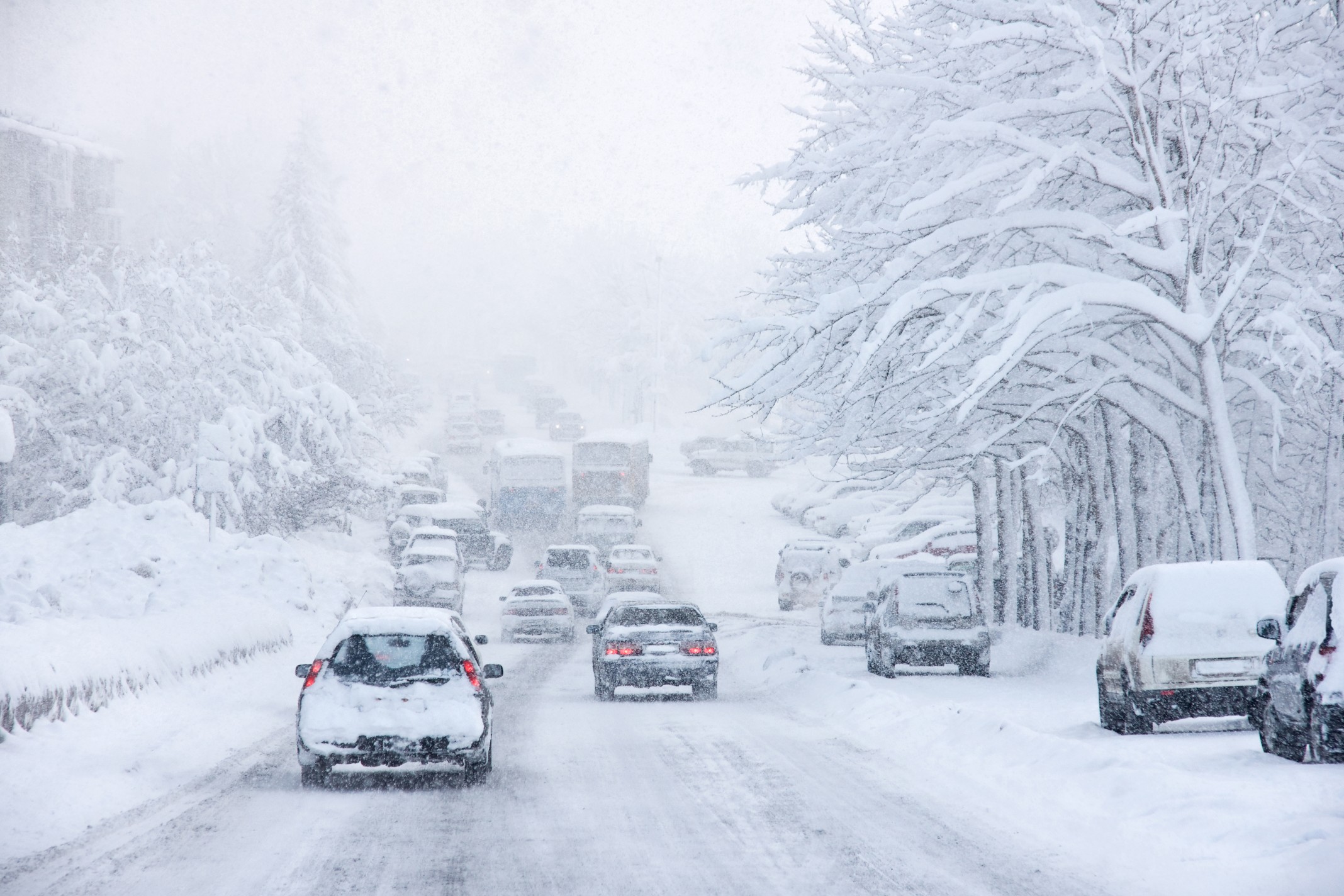
You do not have to go far back in the calendar to see how these climate phases influence the weather. La Niña was the driving force behind the weather patterns over the past three winters in the U.S. This pattern explains why the South saw drier than average conditions and the West enjoyed the erasure of the drought because of the persistent train of rain and snow storms.
How Will El Niño Impact the Upcoming Winter?
The long-range forecast for the winter out of the CPC is indicative of a deeply entrenched El Niño phase. It is important to note that while El Niño winters vary to some degree, there are common factors that these seasons share.
The position of the jet stream typically moves to the south during times of El Niño, ushering in cooler and wetter weather in areas to the south while the northern part of the U.S. experiences drier and warmer conditions when compared to normal.
The southern half of the country typically sees more frequent and stronger storms during El Niño. This means that the southern Plains, the Gulf Coast, and the Southeast may be in for a wetter winter coming up. This phase will also boost the odds of rare wintry precipitation for the Deep South. The silver lining is that this part of the nation is in dire need of a moisture boost after the dry summer.
Conversely, the northern fringes of the country will likely enjoy a milder winter due to the influence of El Niño. This will likely mean less frequent and less intense winter storms for the Pacific Northwest, Rocky Mountain region, Upper Midwest, and northern Plains. The predicted lack of moisture could spell trouble for the parts of the Midwest that are still grappling with extreme and exceptional levels of drought as defined by the U.S. Drought Monitor.
El Niño patterns tend to have less of an influence on the extreme Northeast, the Southwest, and California. How these regions respond to the climate phase will depend on its overall strength. For instance, a more persistent El Niño could create more storms for the Southwest while a less intense phase would translate to drier conditions for this corner of the country.
The expected weather patterns of the Northeast are harder to pinpoint based on El Niño alone. While the Northeast and New England can experience a milder winter similar to the rest of the northern U.S., it can also see an uptick of storms coming in from the northern Atlantic Ocean.
Past Examples of the Influence of El Niño
One of the primary ways that forecasters make their predictions about an upcoming season is by looking at past winters and how the El Niño phase influenced the overall weather in specific regions. For instance, a relatively weak El Niño during the winter of 2018 and 2019 created several significant storms across the South. December was particularly gnarly with snow and ice falling across Texas and into the Carolinas. This season was also distinguished as the wettest winter on the record books for the U.S. even though the East Coast saw temperatures that hovered well above normal.
In contrast, an exceptionally strong El Niño phase over the winter of 2015 and 2016 led to the warmest winter on record for the U.S. What is interesting is that the uptick in temperatures was not enough to mitigate the formation of a historic blizzard that brought life to a halt on the East Coast.
Forecasters are looking carefully at the data from the winter of 2009 and 2010 to make their predictions for this year. That El Niño was the most similar to what forecasters are predicting for this year, thus providing a signal about what to expect in the coming months in the U.S. That winter saw snowy conditions across the East Coast with colder than normal temperatures recorded for the southern and central portions of the nation.
Did you find this content useful? Feel free to bookmark or to post to your timeline for reference later.

January 21, 2024

January 19, 2024

January 18, 2024
