
Heavy Rain, Flooding, and Chance of Severe Weather Staring Down the Southern U.S.
January 22, 2024
Posted: May 24, 2022 11:10 am


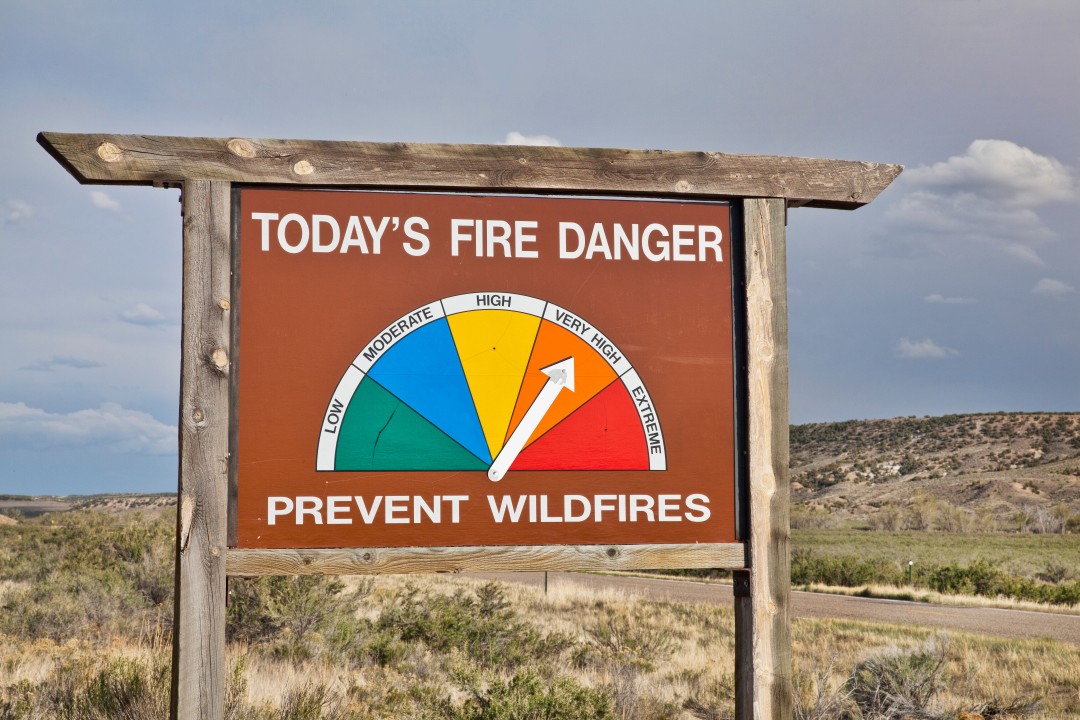
It has already been a rough start to the 2022 wildfire season out West, especially in the Southwest. In addition to the ongoing drought plaguing the region, unseasonably warm temperatures this spring have aggravated the wildfire spread. Unfortunately, the long-range forecast shows that this warm weather will stay in place for the week, providing little relief for fire crews.
Wildfires sprung to life across the Southwest to start the month of May, stretching from Arizona through Texas. New Mexico has been bearing the brunt of this early season activity. As of Monday, the Hermits Peak Fire was only 40% contained after burning through over 310,000 acres. This fire began when a prescribed burn spiraled out of control. Over in the southern part of the state, the Black Fire is only 8% contained, with more than 130,000 acres lost to the blaze.
Arizona is also still dealing with active wildfires. The Tunnel Fire near Flagstaff has burned through almost 10,000 acres and is nearly completely contained. Cooler and calm conditions over the weekend helped fire crews to finally get this blaze after control.
A jet stream bulge all the way in the eastern half of the U.S. over the last few days has resulted in warming conditions in this part of the country but cooler weather for the rest of Americans. Much of Colorado and Wyoming even saw snow out of this weather pattern.
However, the weather is about to flip-flop for the opposite sides of the country. The cooler conditions currently in place over the West and Midwest will shift to the east, allowing heat to expand once again in the Southwest.
A disturbance in the atmosphere is forecast to move through the Rocky Mountains and into the Plains states beginning on Tuesday. As this happens, winds will begin to whip up through the Southwest, encouraging the spread of wildfires. Although the disturbance is forecast to deliver moisture to the central and eastern parts of the U.S., there is no meaningful precipitation predicted to drop in the Southwest. This lack of moisture paired with low humidity levels and increasing wind speeds will only exacerbate the wildfire danger in the region.
The strong winds in the Southwest are forecast to hang around through at least Wednesday. Residents need to be prepared for gusts up to 50 mph. The most damaging winds will be at the higher elevations and through the mountain passes.
The good news for California is that the high winds will be centered over Arizona and New Mexico. Winds in the Golden State are forecast to be light for the first part of the week.
It will feel more like summer for much of the Southwest and California this week. The potentially record-threatening temperatures are expected to set in the San Joaquin Valley of California on Tuesday. For instance, Sacramento is expected to hit 98 degrees on Tuesday. This would tie the record set in 1982. These warm readings will spread throughout the Central Valley and into Southern California, however, the record temperatures will likely stay contained to the San Joaquin Valley area.
The heat will stick around through Wednesday with the possibility of more record temperatures for Sacramento as the mercury approaches the century mark. The record high for the day is 100 degrees from back in 1951.
Wednesday could also see a record fall in Fresno and Redding. The record for the day in Fresno is 102 degrees while Redding would need to see temperatures exceed 103 degrees to set a new record reading.
Although records are not expected to fall in Nevada, it will still be unseasonably warm by the middle of the week. For example, Wednesday’s predicted high of 88 degrees in Reno is still over 10 degrees above normal for this time of the year. The forecast high of 103 degrees in Las Vegas for Thursday is also 11 degrees higher than average.
The overwhelming heat is expected to ease by the end of the week as the warmth migrates to the east along with the bulge in the jet stream.
Sharing is caring! Did you find this content useful? Feel free to bookmark or to post to your timeline for reference later!

January 21, 2024

January 19, 2024

January 18, 2024
