
Heavy Rain, Flooding, and Chance of Severe Weather Staring Down the Southern U.S.
January 22, 2024
Posted: November 10, 2023 9:12 am


The end of the week is going to feature heavy rain and the chance of localized flooding throughout the south-central U.S. While Texas and Louisiana are forecast to see the worst of the impacts, these downpours are likely to impact up to a half dozen states beginning Thursday and lasting through late Friday. Read on for what you need to know about this wet and windy forecast.
Texas and Louisiana in Bullseye for Heavy Rain
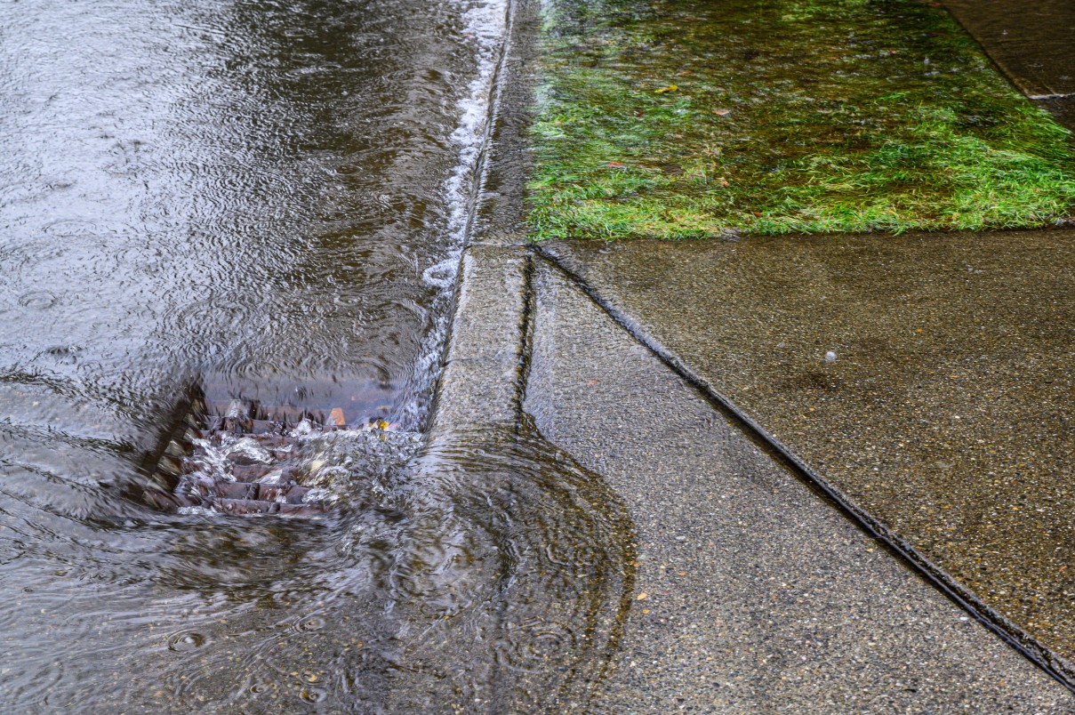
Over a month’s worth of rain will fall in some parts of the south-central U.S. heading into the weekend. While this will bring some degree of relief to the drought-stricken area, the heavy rain will also raise the risk of dangerous flooding.
The primary impact zone includes parts of southern and eastern Texas and across into Louisiana. This portion of the country is currently under the designation of a severe drought as identified by the U.S. Drought Monitor.
The upcoming wet weather pattern will be a sharp contrast to the dry and unseasonably warm readings that the region has experienced over the last several days. Forecasters are also projecting that yet another weather maker could bring more moisture to this part of the country next week. Not only will this infusion of moisture alleviate some of the drought concerns but it will also work to lower the risk of wildfires that have been plaguing the region as of late.
How Much Rain Should You Expect?
The rain that is forecast to dump on the region is coming together from both the Pacific Ocean and the Gulf of Mexico. The beginning of the day Thursday will see rain develop across North Texas. By the end of the day, you can expect the moisture to stretch into southern and eastern portions of Texas and western Louisiana.
By the time that the system pushes to the east, Texas cities such as Houston, Austin, and San Antonio should prepare to see 1 to 3 inches of rain. The coastal areas of Texas, including Corpus Christi, will also see significant rain. The forecast amount of rain will likely top the historical average for the entire month of November for many communities.
This degree of rain will create the risk of localized street flooding and ponding on roadways. Motorists will want to be extra cautious when taking to the roads during this time period.
Unfortunately for those in the Gulf Coast, the front is expected to stall out when it reaches this region. This stalling will translate to repeated downpours.
Cooler Temperatures to Filter in Behind Front
The front will also bring significantly cooler temperatures. The cooler weather will come as a shock to some areas that have been dealing with readings in the 80s this fall. The south-central U.S. has seen the mercury tie or top record highs in many communities. For instance, readings have been regularly hitting the mid to upper 80s, well above the historical average in the upper 60s and low 70s.
This is all about to change this week when the temperatures tumble into the 50s and 60s for highs behind the approaching cold front. A cold wind out of the north will bring down the real feel readings even further. Those along the Gulf Coast will likely see real feel temperatures approach the 40s by the start of the weekend.
While this rain will make for a miserable time to be outside, the moisture is a welcome sight for a part of the region that could use the moisture. Eastern Texas and into Louisiana has been hit especially hard by the drought with the U.S. Drought Monitor categorizing much of this region as being under levels of exceptionally drought. Moving to the west, extreme drought is in place for parts of southern Texas.
Although the upcoming rainy pattern will not completely eliminate the dry conditions, it will certainly help to tamper the ongoing dry conditions. The moisture will also be beneficial in extinguishing some of the marsh fires that are currently burning in parts of Louisiana.
Lastly, the moisture will also help to mitigate the chances of dense fog popping up. A crash along Interstate 90 in eastern New Orleans turned deadly on Tuesday as a result of thick fog meeting up with the smoke from nearby marsh fires. An additional patch of dense fog the next morning prompted local officials to close stretches of the interstate as a preventative measure.
Did you find this content useful? Feel free to bookmark or to post to your timeline for reference later.

January 21, 2024

January 19, 2024

January 18, 2024
