
Heavy Rain, Flooding, and Chance of Severe Weather Staring Down the Southern U.S.
January 22, 2024
Posted: November 10, 2022 9:47 pm


Mass of Cold Air Will Follow Wintry Precipitation
It has certainly been a full week of severe weather across the U.S. As Florida was dealing with the aftermath of a Category 1 hurricane, the first blizzard of the season was wreaking havoc across parts of the northern Plains.
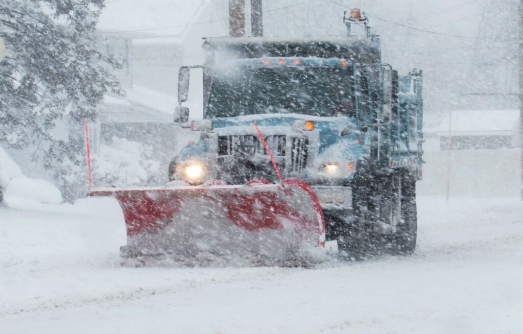
The snowstorm moved into the northern Plains from the Rockies late Wednesday into Thursday, creating a winter wonderland and causing severe travel headaches. The Interstate 94 corridor through North Dakota was the primary target of the heavy snow. Along with the gusty winds, the snow created hazardous driving conditions throughout the region. The roads were so treacherous that the North Dakota Department of Transportation (NDDOT) posted a no travel advisory along some sections of the highway.
By noon Thursday, officials were reporting snow accumulation of 6 – 12 inches of snow across the central and western portions of North Dakota with more heavy snow bands in the forecast. Blizzard warnings were issued for several counties located in central and eastern North Dakota, north-central South Dakota, and northwestern Minnesota. Meteorologists define a blizzard as a snowstorm that pairs with winds of 35 mph or greater for three straight hours to create visibility of one-quarter-mile or less.
The monster storm system is predicted to drop 1 – 2 feet of snow in areas such as Bismarck, North Dakota by the time the weather maker moves to the east. Forecasters expect the last of the snow to wrap by early Friday.
There is a good chance that Bismarck will break the record for the largest amount of snow in a one-day period in November. The current record is 10.8 inches set in November of 1993. The city sees an average of 8 inches of snow in November, a number that is almost certainly to be eclipsed with this one single snow storm.
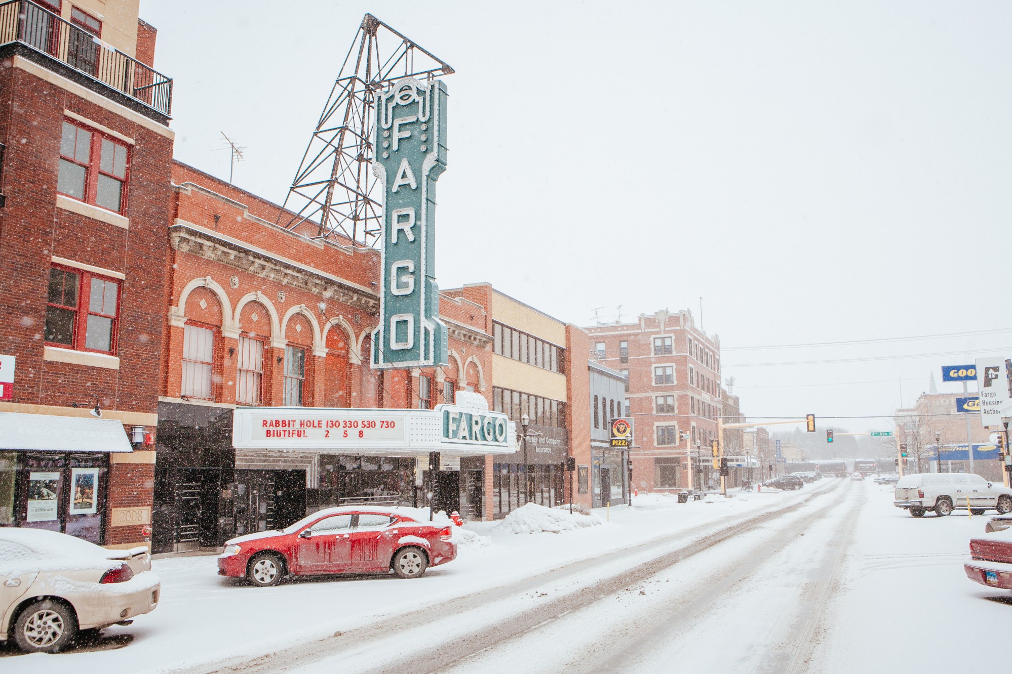
In addition to the snow, the system is also bringing a mix of icy precipitation to some parts of North Dakota, particularly along the far eastern edge. Residents in Fargo woke up to a mix of freezing rain and sleet hampering the morning commute. Icy conditions forced the closure of part of Interstate 29 between Fargo and Grand Forks for a few hours on Thursday morning. The highway was able to reopen at about 10 am local time.
Local authorities are urging residents and travelers to take extra precautions when heading out on the roads. Numerous accidents have been attributed to the treacherous road conditions.
The snow is expected to finish in the overnight hours into Friday. However, the presence of gusty winds will create the strong possibility of blowing snow and drifts through Friday.
While the snow and ice may be gone by Saturday, a mass of cold air is forecast to move down from Canada in the wake of the storm. The northern Plains are forecast to see the coldest air of the season over the weekend. You can expect high temperature readings in the teens and overnight lows that plummet below zero throughout the weekend.
The Northeast will then be on the receiving end of this bitterly cold air in the coming days.
Did you find this content useful? Feel free to bookmark or to post to your timeline for reference later.

January 21, 2024

January 19, 2024

January 18, 2024
