
Heavy Rain, Flooding, and Chance of Severe Weather Staring Down the Southern U.S.
January 22, 2024
Posted: January 8, 2024 9:15 am


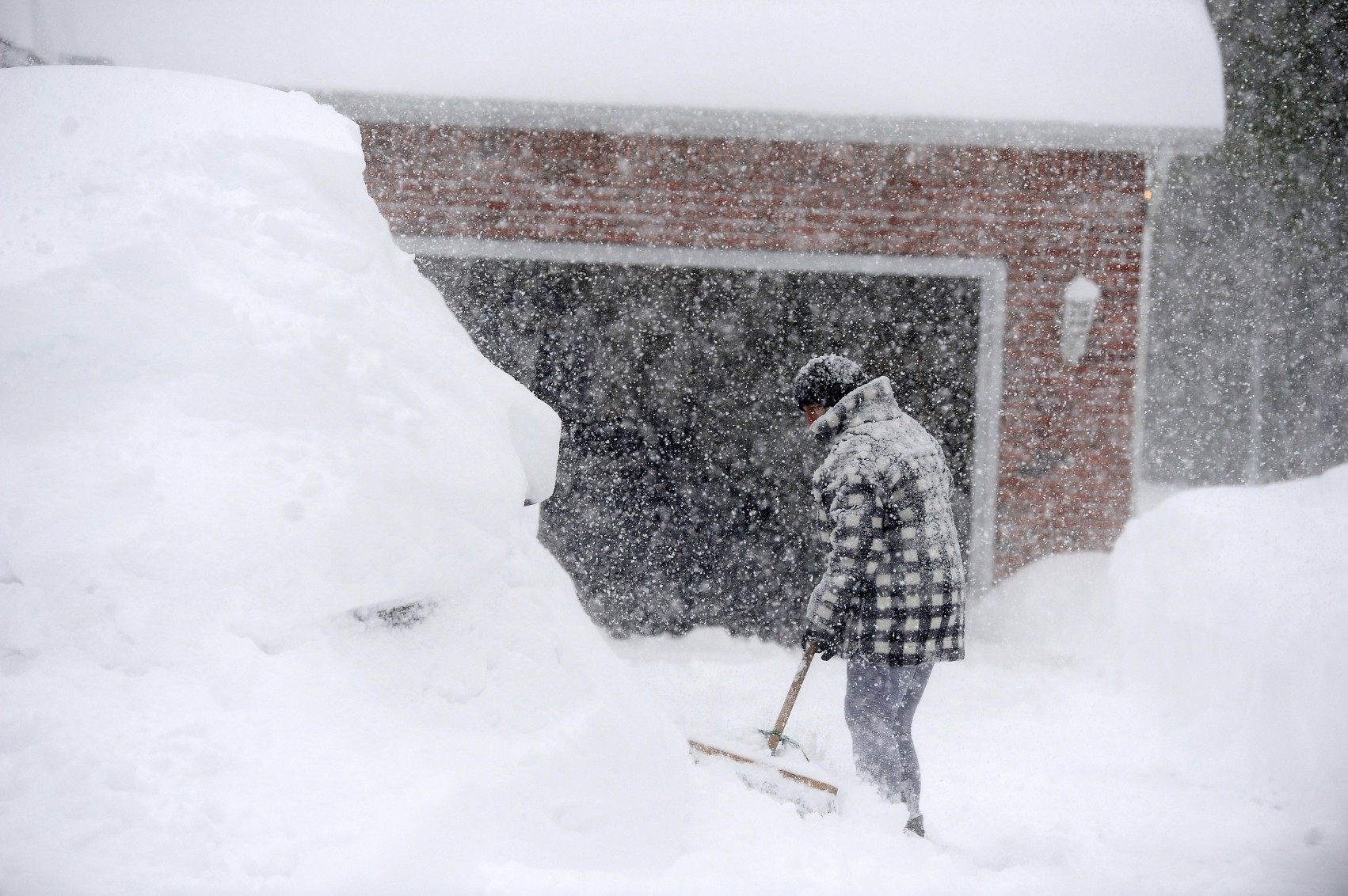
About 60 million Americans are in the path of a snowstorm that is forecast to hit the interior portions of the mid-Atlantic, the central Appalachians, and up through New England this weekend. Who will see the snow and how much accumulation can you expect? Read on for all of the details about what is expected to be the first widespread snow storm for this region in two years.
Travel Disruptions Likely This Weekend Across the East
Much of the East Coast has been bone dry when it comes to snowfall over the last two years. That is going to change this weekend as a large storm system pushes into the region. Although the bulk of the snow is expected to avoid the Interstate 95 corridor from Philadelphia and down into Washington, D.C., New York City could see a bit of accumulation out of this depending on where the temperatures land.
Regardless of who gets the snow, travel is going to be a problem throughout the weekend thanks to the ripple effects. The heaviest snow is forecast to impact the central Appalachians and New England. Snow could dump at a rate of one inch per hour across upstate New York and northern Pennsylvania. The height of the snowfall will likely be Saturday afternoon through early Sunday.
The flakes will begin to fly in the northern interior sections of the mid-Atlantic and the central Appalachians on Saturday afternoon. The snow will reach New England by Saturday night. Warmer ocean water temperatures in the Atlantic will likely suppress the development of snow in the coastal areas, keeping the moisture falling as rain in places such as Martha’s Vineyard, Massachusetts.
While no significant accumulation is expected for the cities of Baltimore, Washington, D.C., and Philadelphia, a slight change in the temperature could translate to a greater chance of snow. The areas to the north and west of this corridor will see a wintry mix and more snowfall.
Snow in the Big Apple?
As far as New York City, the snow measurements could vary widely across the metro area. For instance, eastern Brooklyn and Queens should not hold out hope for more than a trace while the Bronx and Upper Manhattan could see 1 to 3 inches. Do not be surprised to wake up Sunday to see Central Park turned into a winter wonderland.
Areas located to the southeast of the city are likely to see straight rain because of warmer temperatures in this zone. However, locations to the north of the city may see snowfall totals in the range of 6 to 12 inches. This includes the southeastern corner of New York, western Connecticut, and the northern half of New Jersey.
Boston is in store for several inches of snow by the time the system pushes through. The snow will begin to fall Saturday night, coming in with accumulations of 1 to 3 inches during this time frame. Another 1 to 3 inches is in the forecast for Sunday. Heavier amounts of snow will accumulate in communities located to the west of Interstate 95.
Other cities expected to pick up at least 6 inches of snow on Saturday and Sunday include Albany, New York; Williamsport, Pennsylvania; and Hartford, Connecticut. Snowfall in the range of 3 to 6 inches is in the forecast for central and southeastern Pennsylvania, the central portion of New York state, and down near the border between Virginia and West Virginia. This amount of snow is also most likely for inland areas of southern New England.
A potentially dangerous winter mix of sleet and freezing rain is on the horizon for higher elevations of western North Carolina, stretching into northeastern Tennessee. The Shenandoah Valley region will also be under the threat of freezing rain that turns into ice and brings down power lines and trees.
The good news is that this storm system is forecast to push through the region at a fast pace. This quick movement will work to limit the amount of snow that accumulates. Despite the limited amounts of snow for some of the region’s major cities, it will still be enough to make it the biggest snowstorm in almost two years. You have to go back to February of 2022 to find significant snowfall for many communities in the Northeast.
The fast clip of the storm’s path will also mitigate the odds that high winds whip up for an extended period. This means that coastal flooding issues will not likely be a concern.
Looking Ahead
You can expect the weather to begin to improve from west to east starting Sunday afternoon. However, another storm is waiting to strike by the middle of the work week. Warmer temperatures associated with this weather maker will keep most of the precipitation falling as rain rather than snow for the Northeast.
While rain typically results in less complications than snow and ice, the immense amount of moisture over the preceding days will create the risk of widespread flooding. In addition, the arrival of warmer temperatures will also trigger a rapid melting of the snow that fell over the weekend. This perfect storm of conditions will greatly increase the risk of flooding beginning on Tuesday for the central Appalachians and to areas farther north in the subsequent days.
You can do your part to alleviate the risk of flooding by keeping storm drains clear on your property.
Did you find this content useful? Feel free to bookmark or to post to your timeline for reference later.

January 21, 2024

January 19, 2024

January 18, 2024
