Heavy Rain, Flooding, and Chance of Severe Weather Staring Down the Southern U.S.
January 22, 2024
Posted: April 18, 2021 7:15 am


Path of Typhoon Surigae May Track South of Japan After Battering the Philippines
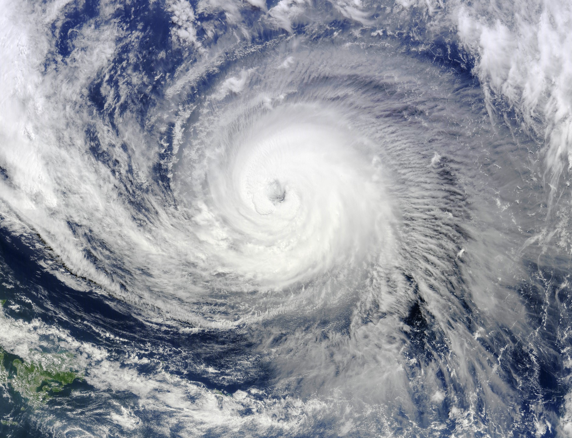
The 2021 typhoon season is off and running with the formation of the first super typhoon of the year. According to the Joint Typhoon Warning Center (JTWC), Typhoon Surigae formed on Friday in the western Pacific Basin. The typhoon underwent a period of rapid intensification, with 10-minute average sustained winds of up to 109 mph on Saturday morning.
By late in the day on Saturday local time, Surigae was still strengthening even further with winds reaching 180 mph. These wind speeds are equivalent to a Category 5 hurricane. This made Surigae the first tropical storm system of the year to hit super typhoon status. The storm also has the distinction of being the first tropical cyclone in the northern hemisphere this year.
Surigae History: The system first intensified into a tropical storm on Wednesday. The storm picked up speed while moving between Guam and the Philippines in the Philippine Sea. Just one day later, the storm dumped over nine inches of rain to Koror, the largest city in the island country of Palau.
In the Philippines, Surigae is referred to as Bising. The Philippine Atmospheric, Geophysical, and Astronomical Services Administration (PAGASA) gives storms different names.
Surigae is also the strongest typhoon in recorded history for the month of April, beating out Typhoon Thelma in 1956 with its maximum sustained winds of 173 mph.
What is Next for Surigae? Suirgae is predicted to keep up with the intensification and will threaten the eastern portion of the Philippines by the end of the weekend and into next week. The warm ocean waters and the low wind shear are providing a ripe environment for the storm to strengthen.
Surigae may turn to the north earlier than expected. If this happens, the Philippines will largely be spared the strongest winds and the most significant rain associated with this system. The storm would then simply stay put in the Philippine Sea.
However, if the storm stays on the current westward track, the brunt of the storm may wreak havoc all over the eastern Philippines. The areas most likely to see damage as a result of this track would be eastern Mindanao stretching into eastern Visayas. The area is standing guard for heavy rain and localized flooding. Power outages are also expected.
Rainfall amounts in excess of 10 inches will not be out of the question as the storm batters the Philippines. Wind speeds are expected to be in the 100 mph range when Surigae makes landfall.
Dangerous Seas: Surigae is going to whip up the seas for the next several days regardless of if and when it makes landfall. Forecasters are warning boaters to be careful when traveling in the Philippine Sea.
Once Surigae has made its way north of the Philippines, it is expected to weaken because of less favorable weather conditions. However, do not be surprised if the storm impacts Iwo To and the Volcano Islands, south of the mainland of Japan

January 21, 2024

January 19, 2024

January 18, 2024