
Heavy Rain, Flooding, and Chance of Severe Weather Staring Down the Southern U.S.
January 22, 2024
Posted: June 5, 2023 3:00 pm


There is no doubt that it has been an unseasonably dry spring across much of the Northeast and the Midwest. This dryness has paired with bouts of exceptionally warm temperatures to create what meteorologists refer to as a “flash drought.”
What does this condition entail and is there any relief ahead in the forecast? Read on for all of the details.
Flash droughts are defined as periods of short-term drought conditions that come about as a result of lower than normal amounts of moisture, unseasonably warm temperatures, high winds, and the natural increase in sunlight that happens at this time of the year.
All of these factors were in play during the month of May for many portions of the Northeast, putting the area at risk of dealing with a flash drought.
As opposed to a slowly evolving drought, a flash drought happens when the low amount of moisture partners with unusually warm temperatures to trigger higher evapotranspiration rates.
This process takes away the available water from the geographic landscape. Flash droughts most typically happen during the summer in the central portions of the U.S.
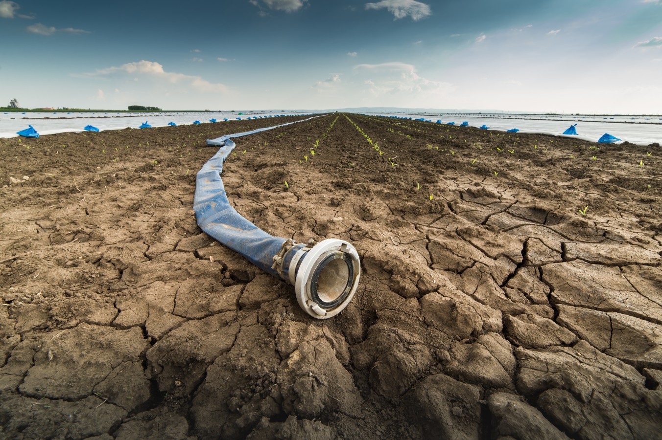
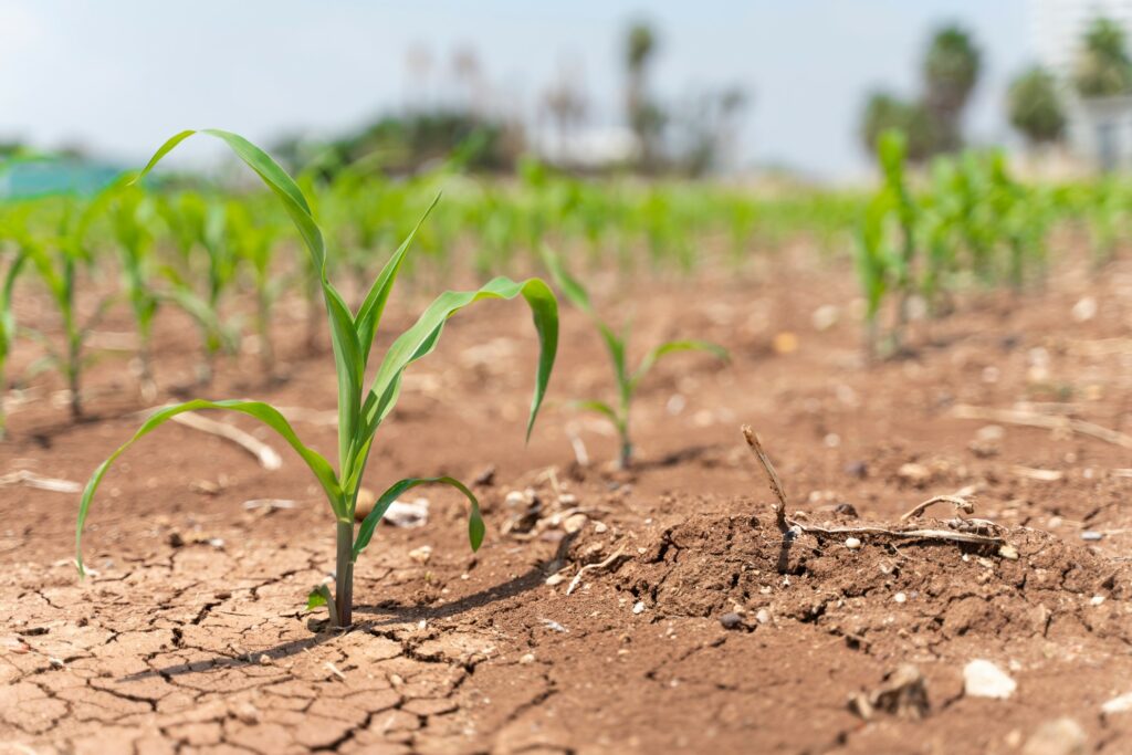
The impacts of a flash drought can be severe, particularly within the agricultural industry. The good news is that most flash droughts do not transition into conventional long-standing droughts.
The driest area of the region is located in eastern Pennsylvania and western New York. This is also a part of the interior Northeast that typically sees frequent instances of heat during the summer months, raising the risk of the flash drought even further.
These elements have been brewing across the Northeast, with the driest areas in eastern Pennsylvania.
Cities that have been experiencing these abnormally dry conditions over the last several weeks include Allentown, Pennsylvania, and Binghamton, New York. For instance, Allentown recorded only 0.24 of an inch of rain throughout the entirety of May, far below the historical average for the month of 4.20 inches.
Binghamton saw 0.71 of an inch of rain, falling below the average for the month of 3.92 inches. It was also exceptionally dry in the major city of Philadelphia. The City of Brotherly Love saw 0.24 of an inch of rain, compared to the average of 3.89 inches.
This lack of moisture will pair with a long-range forecast calling for rising temperatures to trigger the risk of a flash drought to take root. Exacerbating the problem is the fact that this is also the time of the year that experiences the strongest solar energy.
While the forecast for this week is predicting the chance of localized rain showers and storms throughout the region, the moisture generated with this pattern will not likely be enough to prevent the flash drought.
Forecasters warn that the separate elements of drought and heat can feed off each other, a cycle that is difficult to break without a significant change in the weather pattern.
The Northeast is not the only part of the county facing the chance of a flash drought. The Midwest has also experienced these dry conditions as of late. States that were particularly dry during the month of May were Indiana, Iowa, and Illinois.
For example, May of 2023 ended up as the second driest May in the record books for the Chicago area.
Precipitation levels were also trending far below normal for Lower Michigan. Many communities only registered precipitation levels that were 15% to 25% below average for May. Unfortunately, the bulk of the rainfall fell during the early part of the month at one time.
This means that several inches of topsoil are now experiencing a fast drying out. The lack of moisture within the top inches of soil is another signal that a flash drought could be around the corner.
Did you find this content useful? Feel free to bookmark or to post to your timeline for reference later.

January 21, 2024

January 19, 2024

January 18, 2024
