Heavy Rain, Flooding, and Chance of Severe Weather Staring Down the Southern U.S.
January 22, 2024
Posted: April 11, 2023 9:30 am


The tropical rain has already begun falling across Florida and the Gulf Coast with an ongoing soggy week in store for this corner of the country. The heavy rain and severe weather will impact much of the Gulf Coast and Florida for the next few days, potentially disrupting travel and bringing additional negative impacts.
The relentless precipitation will be triggered in part by a large area of high pressure across the mid-Atlantic that will produce strong winds moving east to west throughout the Florida peninsula and the Gulf Coast. These winds will pair with a potent amount of moisture to produce the train of storms and showers.
Although the presence of rain and dreary conditions may disappoint beachgoers in Florida, the moisture is welcomed by residents that have been dealing with exceptionally dry conditions this year. According to the latest data release from the U.S. Drought Monitor, over half of the Sunshine State is currently under the designation of a severe drought.
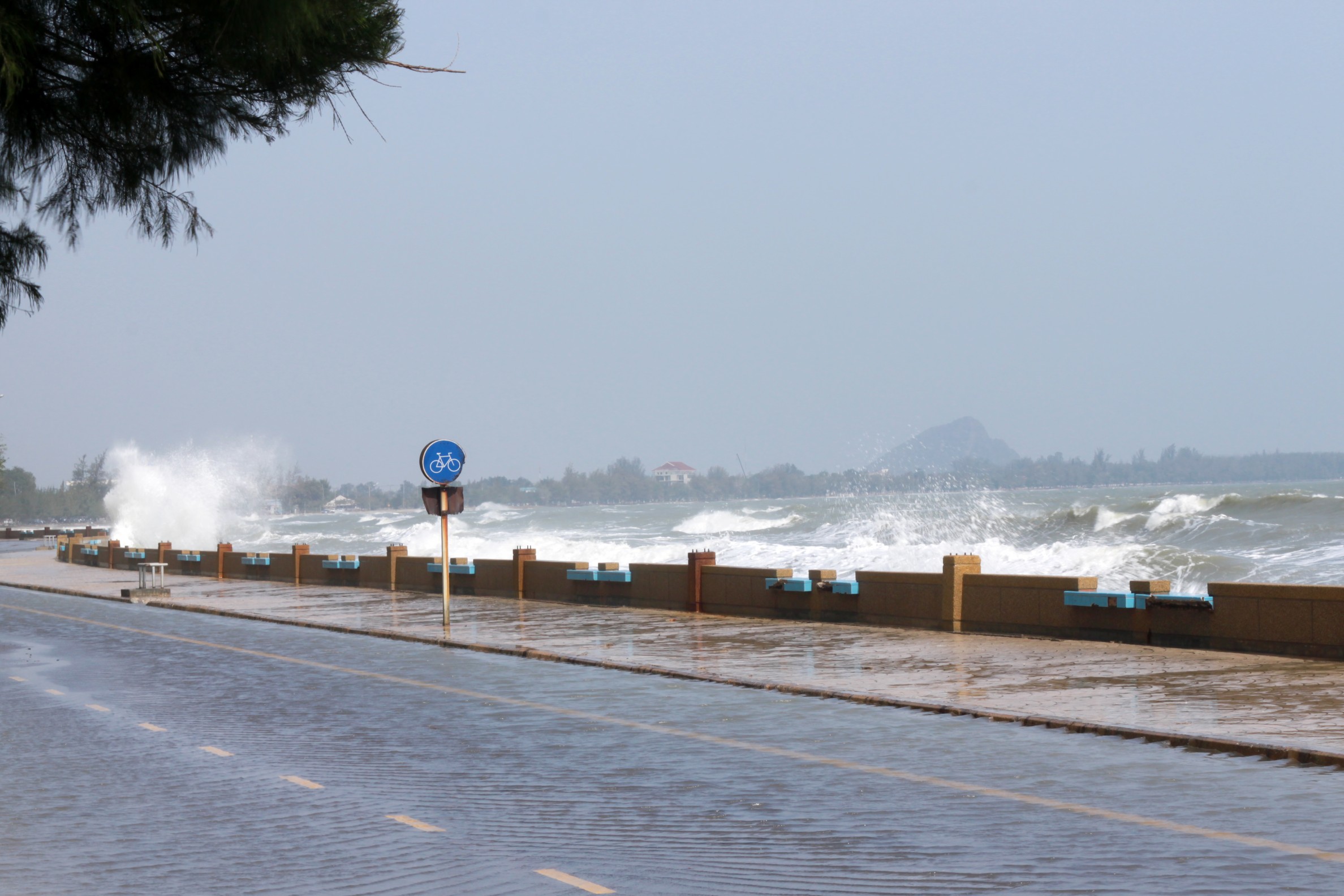
The stiff winds along the Atlantic coast of Florida will also create a number of hazards through the week. Strong rip currents and coastal flooding will be a few of the impacts of these winds. The greatest risk zone will be along the stretch of coastline from Jacksonville down to Miami. Flooding in beach communities such as Daytona Beach and Vero Beach will be a particular concern during high tide on Tuesday.
Earlier last week, experts with the National Hurricane Center (NHC) were cautioning about the outside chance of a rare April tropical storm forming in the Gulf of Mexico. However, forecasters are now saying that this window of potential development has closed. The sea surface temperatures are not quite warm enough to support this development in the coming days. In addition, the storm in question is already moving onshore, eliminating the risk of it taking on tropical characteristics.
The strong area of high pressure current over the mid-Atlantic will move off into the Atlantic Ocean later in the week. This exit will change the direction of the winds blowing across the Gulf Coast. As a result, the existing storm system will push into the northern tier of the Gulf of Mexico, ushering in the precipitation to the central portions of the Gulf Coast by late Tuesday and into Wednesday.
Louisiana, Mississippi, Alabama, and the western Florida Panhandle will then be under the gun for this heavy rain. You can expect widespread rainfall up to 1 inch in this impact zone.
Repeated rounds of rain will also raise the risk of flash flooding. Motorists traveling along Interstate 10 need to be aware of the possibility of ponding on roadways and reduced visibility during times of heavy rain.
Some of the cities expected to receive significant rainfall this week could use the moisture. Cities including Houston, New Orleans, and Mobile have seen abnormally dry conditions since the beginning of March.
For instance, New Orleans only recorded 2.15 inches of rain in March, equating to about half of its historical average for this time period. In addition, less than a half of an inch has fallen so far in the Big Easy in April. This period of dry weather has landed New Orleans under the classification of a moderate drought.
Looking towards the end of the week, the strong storms will move into Alabama and Georgia. The storms will not be as widespread as some of the earlier events this spring in the Southeast, however, residents will still need to brace for strong wind and isolated pockets of heavy rain.
The arrival of a cold front on Friday will bring more chances of rain to the Southeast into the weekend. You will want to stay tuned to your local forecast if your weekend plans include outdoor activities.
Did you find this content useful? Feel free to bookmark or to post to your timeline for reference later.

January 21, 2024

January 19, 2024

January 18, 2024