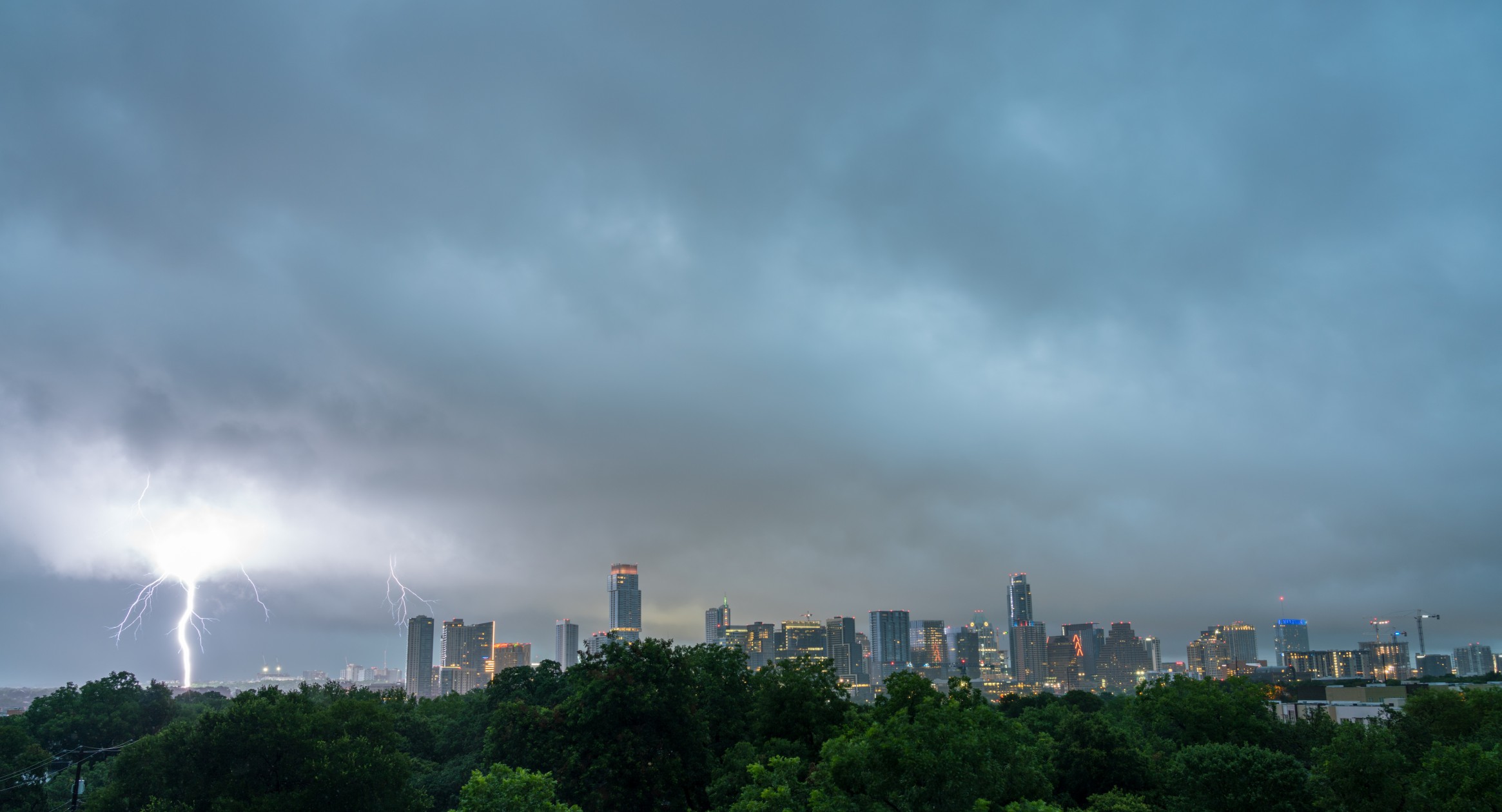
Heavy Rain, Flooding, and Chance of Severe Weather Staring Down the Southern U.S.
January 22, 2024
Posted: May 19, 2023 3:07 pm


‘Tis the season for persistent storms. The south-central U.S. has been taking the brunt of the severe weather this week with more inclement conditions on tap for the end of the work week and into the weekend. Here is where you can expect these storms to pop up over the next few days.
A large swath of land stretching from Texas to Arkansas has been ground zero for the storm development this week. These potent storm cells have delivered a number of impacts, including large hail, strong winds, and tornadoes. This area will still be in the crosshairs on Friday afternoon and into the overnight hours with the Southeast coming into the fold by Saturday.
Forecasters warn that storms that ignite late Friday could bring wind gusts up to 80 mph. The worst of the activity is expected in an area from western Texas into southeastern Arkansas. To the north, the storms will reach into southwestern Oklahoma with the cells potentially traveling as far south as the northwestern corner of Louisiana.
Portions of interstates 20 and 35 may be at risk of flash flooding and reduced visibility as a result of the torrential rain. Motorists are being advised to take caution when heading out on the roads.
Thunderstorm activity will move into the Southeast over the weekend, bringing the threat of heavy rain and gusty winds to the zone from eastern Louisiana into western portions of North Carolina. This potential impact zone includes the bulk of Mississippi, Alabama, and Georgia.
The forecast is calling for the strongest storms to take place during the peak afternoon heating hours with conditions calming after the sun goes down. Air travelers will want to be aware of potential delays on Saturday afternoon and evening.
While most of these storms will be rather benign in nature, some cells could deliver damaging wind gusts and the risk of flash flooding. Small hail is also a potential with this weather maker. Lastly, residents in this area will want to look out for the potential of isolated tornadic activity or waterspouts near the Gulf Coast.

By Sunday, the highest risk of storms will be along the Gulf Coast and in the southern Atlantic coastal area. The farthest north that the storms may ignite will be along the Interstate 20 corridor.
With the weather warming and summer right around the corner, more and more people are planning outdoor activities. Experts warn that it is important to remain vigilant about the risk associated with thunderstorms. Just this week, a 34-year-old man died in Bosque County, Texas after being struck by lightning. His six-year-old son was also critically injured.
You can protect yourself from lightning strikes by enabling weather notifications on your smartphone so that you know when to start moving indoors. Staying inside and away from windows as storms approach your community is a smart practice during this time of the year.
In addition to this weekend’s threat of storms, forecasters are also carefully monitoring an area of potential tropical development off the coast of Florida. Hurricane experts say that there is the potential for tropical development in parts of the Gulf of Mexico and the Atlantic Ocean.
The official start of the 2023 Atlantic Hurricane season is June 1, making the development of this potential system right on time. Even in the absence of further strengthening of this hot spot, forecasters say that the system will usher in the potential of rough surf conditions and heavy rain along the southeastern coast of the U.S. and the eastern coast of Florida heading into the Memorial Day weekend. You will want to stay on top of this forecast if your holiday weekend plans have you headed to the beach.
Did you find this content useful? Feel free to bookmark or to post to your timeline for reference later.

January 21, 2024

January 19, 2024

January 18, 2024