
Heavy Rain, Flooding, and Chance of Severe Weather Staring Down the Southern U.S.
January 22, 2024
Posted: September 2, 2022 2:51 am


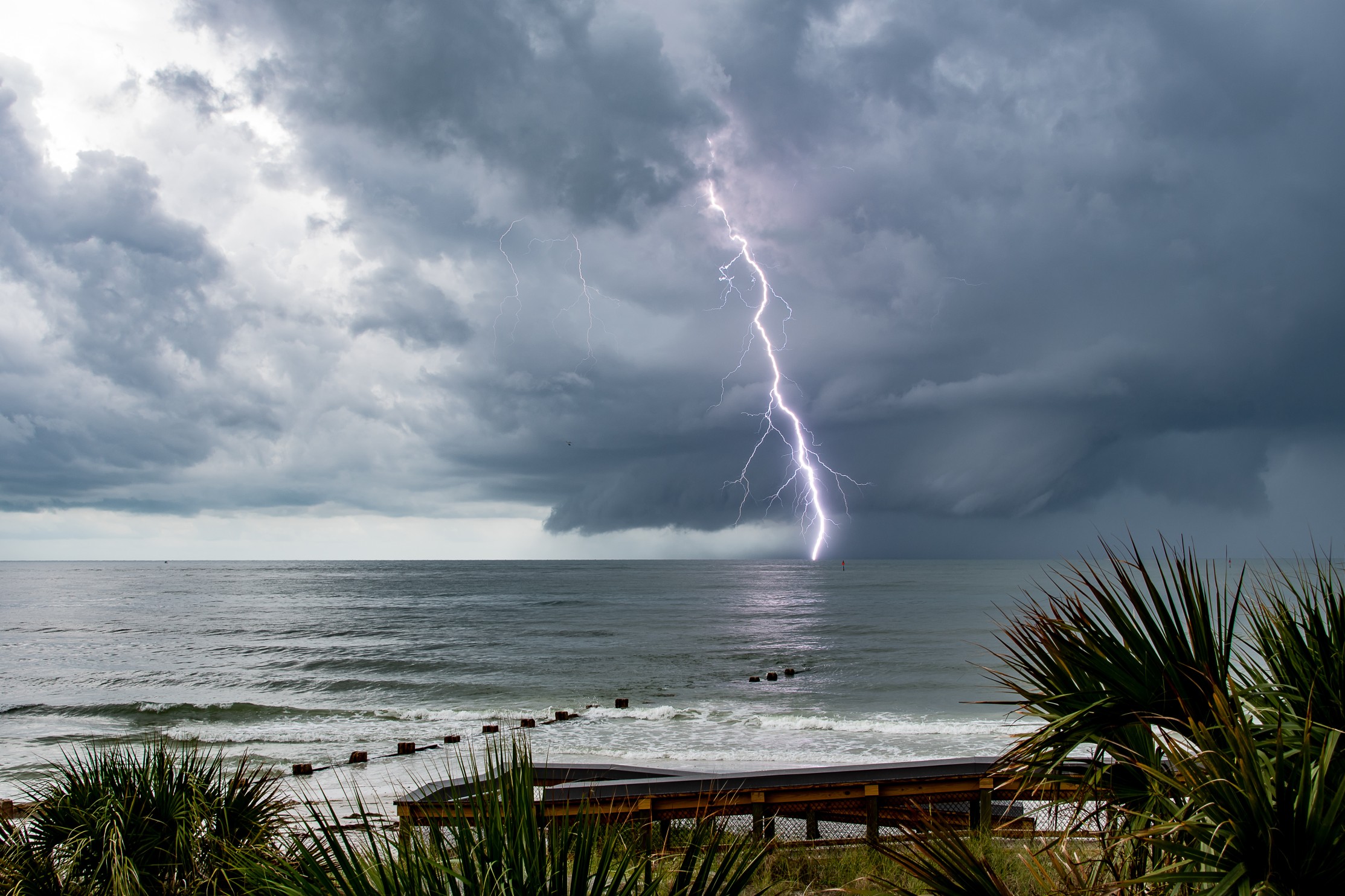
It is going to be a soggy Labor Day weekend for much of the East Coast and stretching down to the Gulf Coast. This weather forecast is not good news for areas such as Mississippi as they work to clean up after last week’s massive flooding event.
While rain is certainly needed in some parts of the Gulf Coast and Texas, portions of this corner of the U.S. have seen more than enough moisture in recent days. Precipitation may still be welcome in the drought-stricken region, however, too much rain too fast can trigger flooding.
A cold front is forecast to drop toward the Gulf Coast and stall out, bringing a higher risk of showers and thunderstorms in the coming days. North Texas will be the first area to see the rain on Friday, an area of the Lone Star State that is still dealing with the ramifications of a historic flooding event last week.
It has been a tale of two summers for Dallas. After enduring a streak of 67 straight days with no measurable precipitation, the city finally saw rain on August 9. It was just a few weeks later that Dallas was slammed with over 9 inches of rain in a 24-hour period. Because of that one rain event, August of 2022 goes down in history as the wettest August on record in the city.
While the heavy rain wreaked havoc throughout the metroplex, there is no doubt that the region needed the precipitation. According to the U.S. Drought Monitor, the bulk of Texas is still under some level of a drought with 43% of the Lone Star State under extreme drought conditions and 12% experiencing an exceptional drought designation.
Although the rain in the upcoming forecast will heighten the flooding risk throughout Texas, the precipitation is much needed in central Texas and the southern portions of the state.
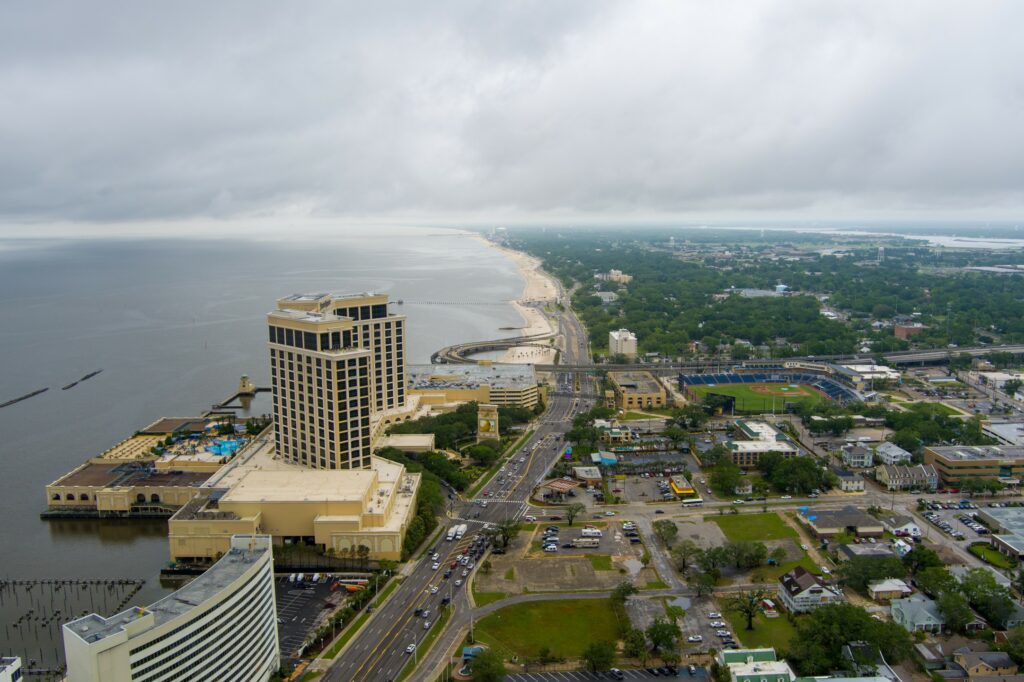
Unfortunately, there is also more rain in the forecast for the Gulf Coast. The state of Mississippi has been in the crosshairs of the worst flooding in the region over the last few weeks. The heavy rain has led to severe issues with the water supply in the capital city of Jackson, prompting Mississippi Gov. Tate Reeves to declare a state of emergency because of the crisis. Over 150,000 residents of the largest city in the state are still without reliable running water.
Jackson will enjoy mostly dry conditions on Friday before new rounds of precipitation move in just in time for the holiday weekend. There is a chance of scattered rain and thunderstorms in the area through the weekend thanks to a stalled front along the coastal areas. In addition, forecasters are predicting that an area of low pressure will develop along the frontal boundary by Saturday.
This development will further contribute to the chances of rainfall. Because the front is not expected to budge for a few days, residents should be prepared for heavy rain and the risk of flooding until early next week.
After a few days of pleasant weather, the mercury will be on the upswing again in the Northeast and mid-Atlantic just in time for the long weekend. Saturday will also bring an increase in the humidity levels, making it feel warmer than the thermometer reads.
The mercury will settle around 90 degrees on Saturday in cities such as Washington, D.C., Baltimore, and Philadelphia. The increase in humidity throughout the region will also bring in another chance of sporadic rain in western New York state and the northwestern corner of Pennsylvania for Saturday. However, the bulk of the East Coast should see mostly dry conditions to kick off the weekend.
The temperatures will continue to creep up on Sunday with New England also seeing the impacts of the warming trend. Some portions of this region will see readings that are about 10 degrees above normal for the beginning of September.
Sunday may also bring the chance of some daily records falling. For instance, the record high for that day in history in Philadelphia is 93 degrees while the current forecast is predicting a high of 91 degrees.
There will be a higher chance of widespread showers and storms on Sunday when compared to Saturday. The impact zone will stretch from the Ohio and Tennessee valleys, into the Great Lakes, and through the Northeast and New England.
The front is forecast to slow its movement on Monday, burning cooler and drier air to the northern reaches of New England as high pressure builds in this region. However, the elevated humidity and cloud cover in areas to the south will keep the chance of isolated thunderstorms and local downpours throughout the bulk of the Northeast and into the northern tier of the mid-Atlantic.
Be sure to check your hourly forecast before heading out to any outdoor plans on Labor Day if you live in this potential impact zone.
Did you find this content useful? Feel free to bookmark or to post to your timeline for reference later.

January 21, 2024

January 19, 2024

January 18, 2024
