
Heavy Rain, Flooding, and Chance of Severe Weather Staring Down the Southern U.S.
January 22, 2024
Posted: June 26, 2022 7:45 am


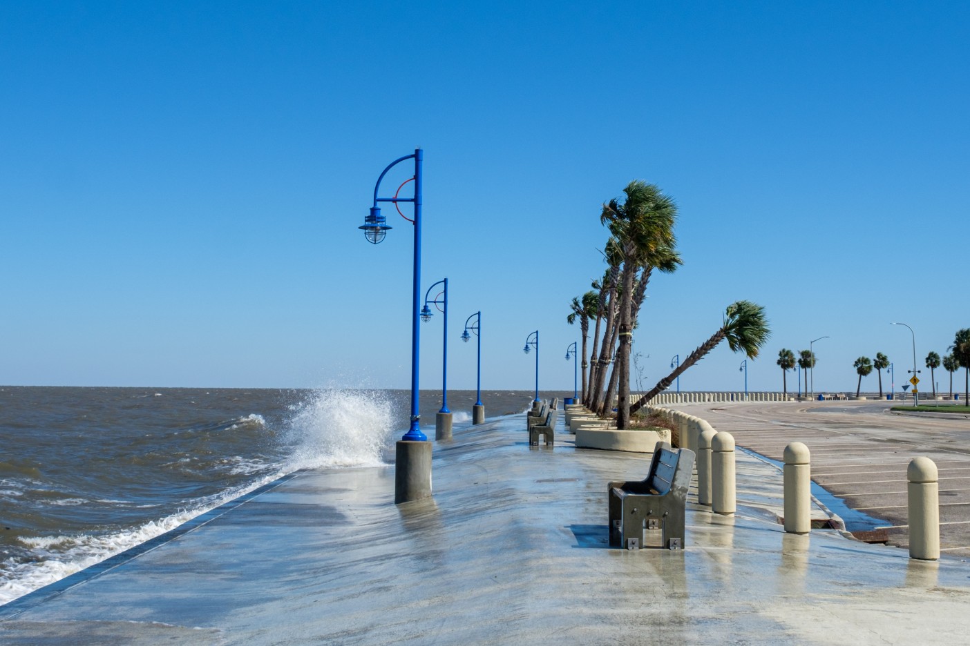
Waves on Lake Pontchartrain
Rains May Trigger Flash Flooding in Drought-Stricken Coastal Areas
If you live in the coastal areas of Texas or Louisiana, you may want to read this. Forecasters are warning that this part of the U.S. Gulf Coast may experience either a tropical weather event or flooding rainfall by next week.
Although the 2022 Atlantic hurricane season officially kicked off on June 1, it has been a relatively quiet period after Tropical Storm Alex formed during the first week of the month. However, that might change in the coming days as the Gulf Coast comes under the threat of tropical weather brewing to the south. Hurricane experts are warning that the conditions for tropical development throughout the northwestern corner of the Gulf of Mexico are heating up in the waning days of June.
In addition to light amounts of wind shear, above average water temperature readings will work together to fuel any potential tropical feature that wanders into this part of the Gulf. If these favorable conditions stay in place for a period of time, there is a good chance of a tropical depression or storm taking root.
The most likely stretch of coastline to see tropical weather develop over the last few days of June are the areas through coastal Texas and Louisiana. Even if a named tropical storm does not develop in the days to come, forecasters are predicting that the area will likely be inundated with heavy rainfall.
A significant amount of tropical moisture is forecast to push up from the Gulf of Mexico. When it reaches the U.S. coastline, it will likely come into contact with a front that is predicted to stall across this region. The opposing weather patterns will trigger heavy downpours in a large swath of land stretching from Texas, through Louisiana, Mississippi, and Alabama, and well into the Florida Panhandle.
This rainy weather pattern is forecast to hold in place for a few days. This means that some areas will be hit with multiple rounds of drenching rain. This is good news for the parts of Texas and Louisiana that have been dealing with drought conditions this year.
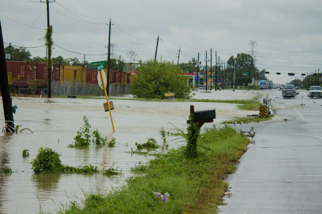
However, there is also the chance that the rain will come down so quickly that the increasingly dry ground will have a difficult time absorbing the precipitation. This could trigger flash flooding throughout the region in the upcoming week. The rain may be heavy enough to cause travel disruptions.
Not all of the Gulf Coast has been under a drought designation. Areas such as Mississippi, Alabama, and the Florida Panhandle have seen nearly average amounts of rain over the last few months. This means that the ground is more likely capable of handling heavy rain without it leading to flash flooding.
While Monday will be largely dry throughout the region, the chance of rain is expected to pick up late Tuesday and in the following days. Cities that expect to be under the gun for sporadic bouts of rain include Houston, Galveston, New Orleans, Mobile, and Pensacola.
Sharing is caring! Did you find this content useful? Feel free to bookmark or to post to your timeline for reference later!

January 21, 2024

January 19, 2024

January 18, 2024
