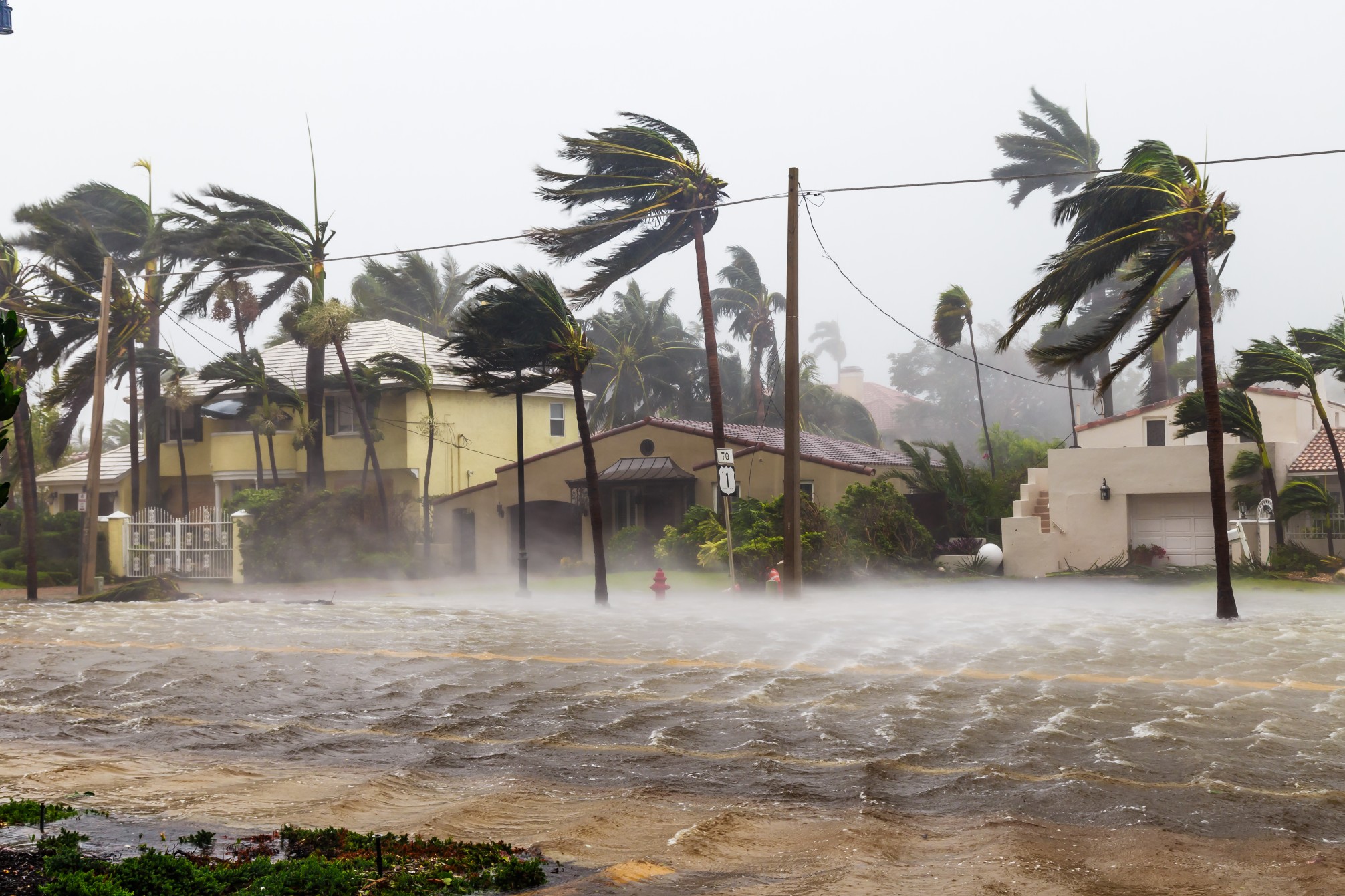
Heavy Rain, Flooding, and Chance of Severe Weather Staring Down the Southern U.S.
January 22, 2024
Posted: October 9, 2023 7:48 am


This is the time of the year when the epicenter of tropical activity in the Atlantic basin tends to migrate to the Gulf of Mexico. The exceptionally warm waters in this body of water in October make it more likely to be the birthplace of new tropical weather features. This is what forecasters are keeping an eye on as the 2023 Atlantic season marches onward.
Gulf of Mexico Ripe for Tropical Weather Development Through This Week
Water temperatures in the Gulf of Mexico are currently hovering in the low to mid 80s. Temperatures of this magnitude are just over the threshold needed for tropical storm development and support.
It has been relatively quiet this year for the Gulf of Mexico. The last activity in this part of the basin was at the end of August when Category 4 Hurricane Idalia roamed these waters. Prior to Idalia, the Gulf was home to Tropical Storm Harold during the middle of August and Tropical Storm Arlene at the start of June.
Heading into the second week of August, the National Hurricane Center (NHC) will be monitoring the behavior of Tropical Storm Lidia in the eastern Pacific. This storm is forecast to turn back east in the coming days and move over Mexico. There is the possibility that the leftover energy and moisture from Lidia could move into the Gulf and merge with another tropical feature coming to life in the Pacific.
Should this happen, the Gulf could suddenly become a hotbed of activity once again. At this point, it is still too early to determine if any potential features would take on tropical characteristics or if they would remain subtropical or non-tropical in nature.
While there is no solid evidence to suggest that the formation of a new hurricane is in the cards, even a tropical storm or sub-tropical feature could bring significant rain and winds to the Gulf Coast or across to Florida. The greatest risk of a storm forming would be toward the middle or end of week.
Even if a named storm does not take shape, the Gulf of Mexico is likely to produce a large area of rain and thunderstorms this week. The inclement conditions will first form in the Bay of Campeche, located in the southwestern corner of the Gulf.
The current models indicate that the low pressure system that is expected to develop could move to the northern portions of the Gulf Coast and potentially into Florida by the end of the week. In addition to rain and high winds, it is also likely that these coastal areas along the Gulf will experience rough surf conditions.
Even if a non-tropical storm takes shape, there is the likelihood of building seas and rough surf. Shipping and fishing interests in the Gulf will want to take note of this potential development over the next several days.
How Wind Shear Could Impact Any Potential Tropical Developments
The one factor that could inhibit the formation of growth of tropical weather in the Gulf of Mexico is the presence of wind shear. These stiff breezes work to mitigate growth by cutting off the top of the storm and breaking apart the center of circulation. This makes it more difficult for budding or existing tropical weather features to send the wind around the center and gain strength.
A forecast for increasing amounts of wind shear in the Gulf would almost certainly hinder development. However, wind shear will not be the only influencing factor that could stymie the formation of a tropical storm. An arriving cold front by the end of the week could also break apart this weather pattern.
Latest on Low Water Levels Across Mississippi River
The silver lining of the possibility of a new tropical feature forming in the Gulf this week is that it may produce rain to provide some relief to the drought-stricken Mississippi River Valley. The Mississippi River has been dealing with low water levels over the last several months. The water is so low at the mouth of the river that saltwater from the Gulf of Mexico is intruding into this part of the crucial waterway, negatively impacting the health of the water supply.
The rain from any potential tropical feature could migrate as far north as the Mississippi Delta, providing a temporary infusion of fresh water to the river. The Delta may also see relief from a non-tropical weather maker that is forecast to move to the Mississippi watershed this week.
Did you find this content useful? Feel free to bookmark or to post to your timeline for reference later.

January 21, 2024

January 19, 2024

January 18, 2024