
Heavy Rain, Flooding, and Chance of Severe Weather Staring Down the Southern U.S.
January 22, 2024
Posted: October 16, 2021 8:38 am


Cold Front Will Also Bring Cooler Temperatures
The end of the weekend is going to bring a host of active weather features to the Northwest. Another storm system is set to deliver gusty winds, heavy rainfall, and cooler temperatures to finish up the weekend.
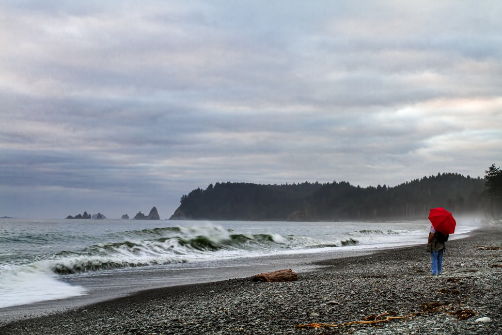
A river of moisture moving through the Pacific Northwest will be to blame for this next round of stormy weather. Washington state, northern Idaho, and the northwestern corner of Montana will bear the brunt of this significant moisture. The heaviest rains will be positioned over the northwestern Washington coastal areas, such as Forks, Port Angeles, and Quillayute.
This precipitation will fall as rain along the lower elevation of the Olympic Peninsula of Washington. However, snow is possible in the higher terrains, This includes the mountains of Olympic National Park.
The storm began to rear its head on Friday with it expected to continue drenching the region through Sunday. The front is delivering windy conditions to the coastal areas and is forecast to keep pushing inland through Saturday and Sunday.
Because of the wind gusts, the National Weather Service (NWS) for the coastal Northwest has issued a small craft advisory. The Olympic Peninsula is forecast to see four to eight inches of rain by the time the system treks to the east on Sunday.
The system is not forecast to move into the Seattle area until later on Sunday, sparing Saturday for most people.
Unlike many parts of the West Coast, the northwest corner of Washington is doing fairly well with rain this season. However, there are still some areas of the state that are in need of rain. For instance, Port Angeles has only recorded a bit over 30% of its average rainfall in October thus far.
The eastern half of the state could also use a hefty dose of rain this weekend. According to the US Drought Monitor, over half of the area is experiencing severe drought conditions with about one-quarter under an exceptional drought designation. While this rain will be welcome for these areas needing some moisture, the heavy precipitation could raise the risk for flooding in areas that are currently dealing with burn scars from recent wildfires.
After slamming the coastal areas with winds and heavy rains to start the weekend, the front will move to the east on Sunday. This movement will deliver showers as far east as Spokane, Washington; Boise, Idaho; and Salt Lake City, Utah. The rain is expected to dive as far south as Redding, California.
The precipitation will fall as rain for most areas, however, snow is in the forecast for some parts of the northern Rockies on Sunday and Monday. Forecasters are predicting that the bulk of the snow will avert most mountain passes. However, drivers should still be aware of rapidly changing weather conditions during the overnight hours.
Along with the precipitation and strong winds, colder temperatures will also accompany the front. The coldest day of the weekend for Seattle will likely be Sunday when temperatures drop a few degrees below average as the thermometer struggles to get out of the 50s. Farther to the south, cities such as Portland and San Francisco may also see the colder air associated with this fro

January 21, 2024

January 19, 2024

January 18, 2024
