Heavy Rain, Flooding, and Chance of Severe Weather Staring Down the Southern U.S.
January 22, 2024
Posted: February 18, 2023 8:55 am


Those heading to Hawaii for a break from the winter weather on the mainland may be disappointed this week. What is known in meteorological circles as a Kona low has set up across the islands, bringing multiple rounds of heavy rain and dreary weather. Here is the latest forecast for this part of the Pacific Ocean.
The rain fired up late Thursday across the islands when a Kona low began to move to the west of the region. Much of the area is under weather alerts, including high surf advisories and flood watches. The highest terrains of the Big Island were even put under a winter storm warning.
The normal trade winds that bring the typical weather pattern to Hawaii are disrupted when a Kona low sets up over the region. This southerly wind flow brings in significant amounts of moisture from the south, ferrying it across the islands to the north.
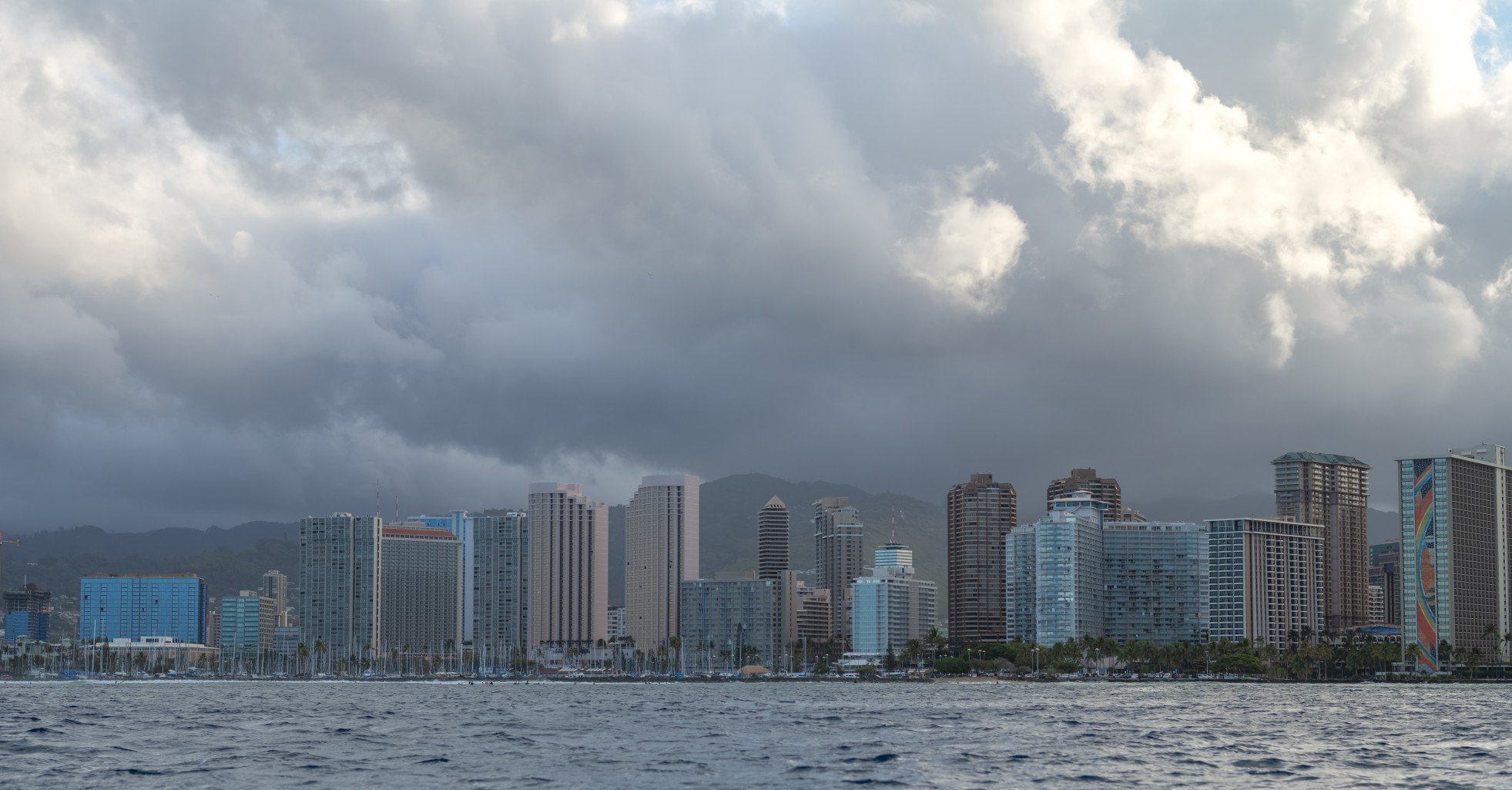
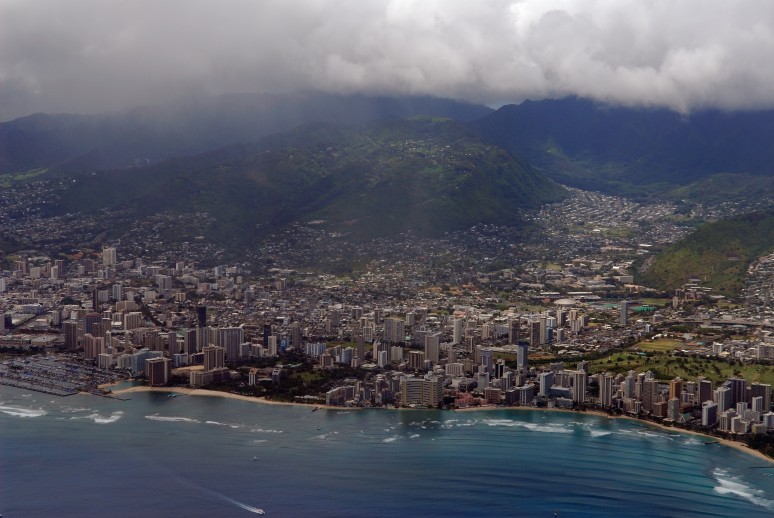
The leeward side of the island chain tends to see the most rain out of a Kona low weather pattern. This differs from the typical weather of the region that brings less rain to this side of the islands. For instance, Oahu’s Honolulu normally closes out the month of February with a rainfall of about 2 inches. However, this amount of rain may fall over the weekend alone because of the presence of the Kona low.

In addition to the heavy rain, the Kona low is also ushering in a risk of flash flooding and landslides. Because the heavy rain is expected to fall over areas not accustomed to seeing this amount of precipitation, it makes it more likely that many communities will be facing road closures and other disruptive impacts.
The Big Island summits of Mauna Loa and Mauna Kea will see the moisture fall as snow and ice as temperatures are forecast to drop below freezing. The weekend will bring up to 2 feet of snow to these summits, rendering roads impassable. Strong winds will also create more problems with blowing and drifting snow that hampers visibility.
This will not be a good weekend to head out to surf, particularly along the east-facing shores of the islands. Only experts should be trying to take on these waters. Surf is predicted to build to 7 – 11 feet in this area.
The first part of the weekend will bring the heaviest rains with the Kona low projected to move away from the islands on Sunday and Monday. This movement will bring the mass of tropical moisture to the west and the south.
However, the break in the rain will not be permanent. Yet another Kona low is predicted to take root by the middle of the next week, ushering in more rain across the region. Although this rain may be a bummer for those heading to the islands for some fun in the sun, this is the time of the year in which these lows are most common.
The wet weather pattern will stick around into next week with forecasters still determining what parts of the islands will bear the brunt of the moisture. There is still the chance that some portions of the islands may be spared. However, it is likely that several more inches of rain will impact the leeward side once again.
It is a good idea to stay abreast of the developing conditions if you plan to be in the area over the next several days. The Kona low pattern is strong enough to trigger flight disruptions and other headaches, particularly if you have outdoor plans.
Did you find this content useful? Feel free to bookmark or to post to your timeline for reference later.

January 21, 2024

January 19, 2024

January 18, 2024