
Heavy Rain, Flooding, and Chance of Severe Weather Staring Down the Southern U.S.
January 22, 2024
Posted: June 26, 2023 2:26 pm


Another slew of daily high records could fall this week across the south-central U.S. as a heat dome anchored over the region continues to expand. How hot will it get and who is most at risk at seeing this extreme heat? Read on for the details.
This heat dome is the result of a northward bulge in the jet stream across the nation’s heartland. This bulge is making room for hot air to come up from Mexico and impact much of Texas, Oklahoma, New Mexico, Kansas, Arkansas, and Louisiana. Forecasters are warning that temperatures could soar 5 to 15 degrees above normal for the end of June for much of this region.
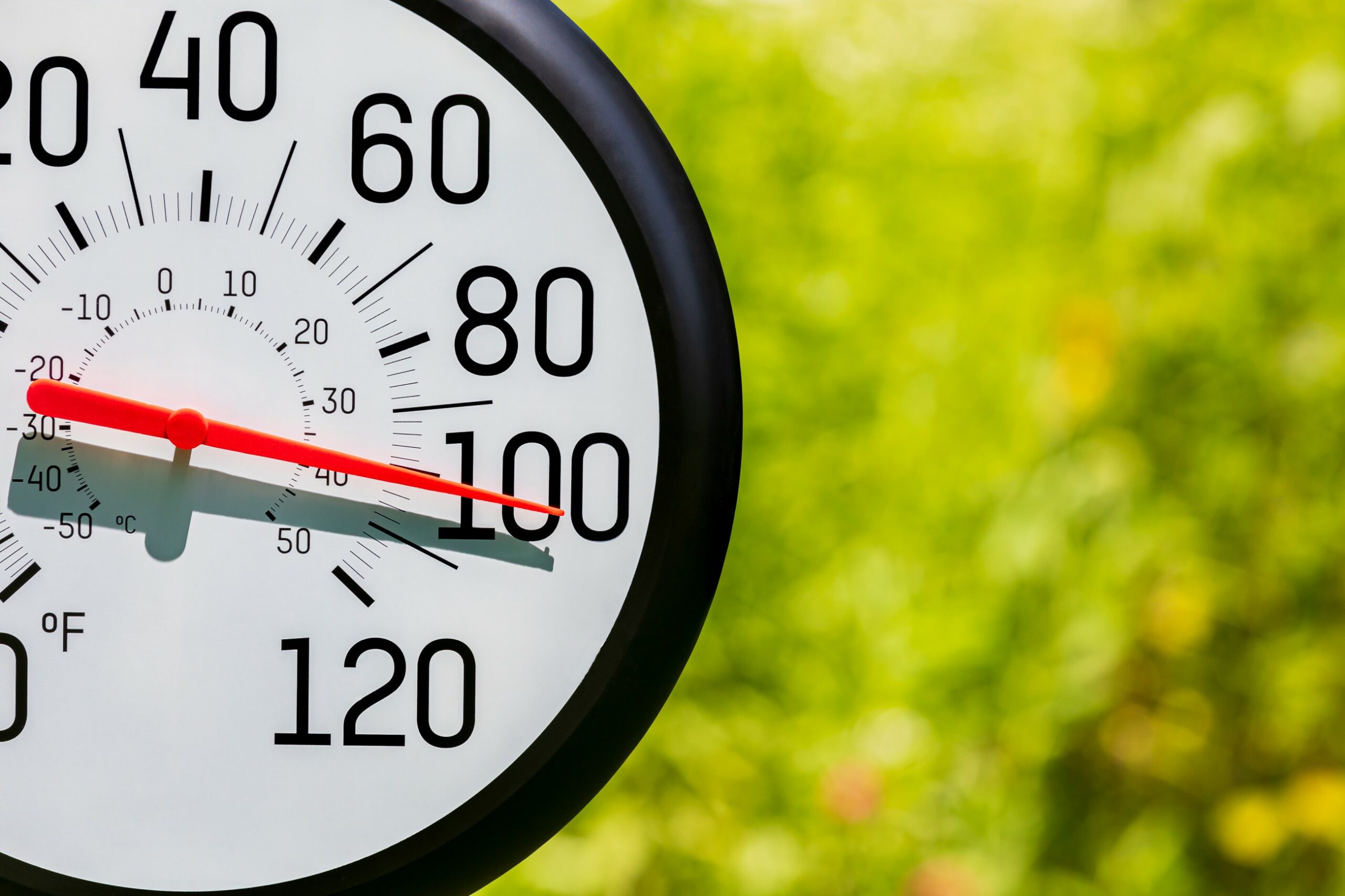
Texas has been grappling with this oppressive heat for days with no relief in sight. Readings in the triple digits are in the forecast in the coming days for the bulk of the Lone Star State, potentially putting the state’s energy grid to the test as residents crank up the air conditioning to beat the heat.
This dome of heat has been in place above Texas since last week. In technical terms, weather experts define a heat dome as a large area of stagnant high pressure that mitigates the presence of clouds and allows the mercury to soar.
This heat dome will expand early next week thanks to the northward bulge in the jet stream, translating to much warmer temperatures for the Plains states, the Mississippi Valley, and the Southeast.
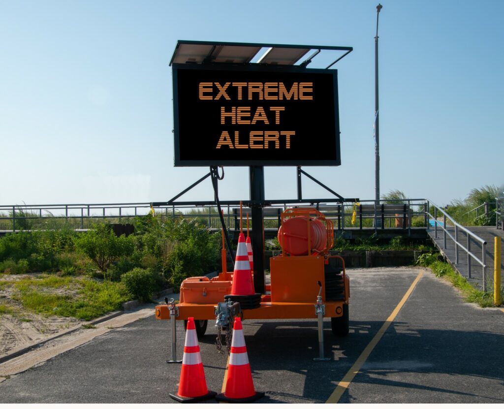
Excessive heat warnings have been in place this weekend for portions of west-central and southern Texas. Heat advisories were issued on Saturday for the remaining areas in Texas, eastern Oklahoma, western Mississippi and Tennessee, and some parts of Arkansas and Louisiana.
This week is already bringing more searing heat to parts of Mississippi and southeastern Arkansas. Real feel readings could hit as high as 115 degrees when combined with the searing sun.
This zone of heat will stretch farther west, enveloping areas of southern New Mexico and Arizona. The heat will also move farther north, bringing Oklahoma City into real feel territory of as much as 110 degrees.
Residents in this impact zone should be aware of the dangers of heat stroke, heat rash, heat exhaustion, sunburn, and dehydration. It is a good idea to limit your time spent outside, particularly doing the peak afternoon heating hours. Be sure to check on elderly neighbors and other vulnerable populations.
It will feel more like the end of July than the end of June throughout much of the Midwest. Kansas City is bracing for readings in the low 90s by the end of the week, translating to weather that is about 7 degrees above the historical average for this part of the summer. This will feel like quite a change for a city that has only seen the 90-degree mark once this year.
Farther south, Wichita is forecast to hit the 100-degree benchmark by Wednesday. This forecast is about 10 degrees above the seasonal norm for south-central Kansas.
The Mississippi Valley and the Gulf Coast will begin to see the extreme heat later in the week. It will also be unseasonably hot in Florida with cities such as Miami and Tampa Bay seeing the chance of daily high records falling.
This latest round of soaring temperatures is forecast to hang on for some time. Relief is forecast to finally arrive in western portions of Texas by late in the week. However, the mercury will still hover at readings slightly above normal for this time of the year.
Southern Texas is not expecting to see any relief from the heat in the long-term forecast. For instance, Houston is forecast to remain above the century mark through the end of the work week. The weekend will bring readings in the low to mid 90s for highs. These temperatures are well above normal for the end of June and the beginning of July.
Did you find this content useful? Feel free to bookmark or to post to your timeline for reference later.

January 21, 2024

January 19, 2024

January 18, 2024
