
Heavy Rain, Flooding, and Chance of Severe Weather Staring Down the Southern U.S.
January 22, 2024
Posted: July 5, 2022 11:15 am


If you live in the interior West, you should enjoy the somewhat moderate temperatures while they last. Forecasters are warning that a heat dome is set to position itself over this portion of the U.S. by the end of the week, sending the mercury soaring.
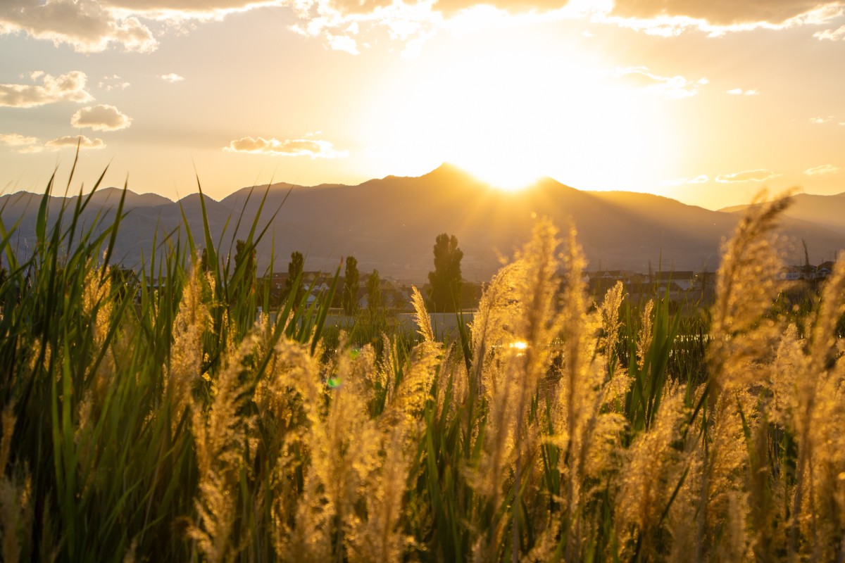
Some of the Intermountain West will see temperature readings that approach the hottest temperatures of the year so far. This increase in temperatures will be at the hands of a northward shift in the current jet stream pattern, allowing the hot air from the south to filter into the West and the northern Plains by the end of the week. As is the case with heat domes, the temperatures start to inch up as the air sinks. Limited cloud cover also feeds into the dome of heat that will not break.
The week will start off with seasonable temperatures right in line with the beginning of July. However, the mercury will start to climb by the middle of the week with the unseasonably warm readings reaching as far north as Montana. Those people in the Desert Southwest should be ready for temperatures that hit the benchmark 110-degree mark.
Cities such as Salt Lake City will almost certainly see triple digit readings by the weekend with a high of 105 degrees in the forecast. This type of heat is about 10 – 15 degrees above average for this time of year. The top reading in Salt Lake City this year has been 102 degrees, set in the middle of June. Records for the upcoming weekend for the city are in the range of 102 to 104 degrees, meaning that history may be made.
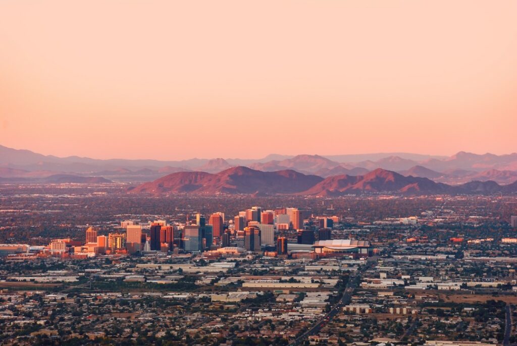
The Southwest is forecast to see the warmest readings it has seen since its heat wave a few weeks ago. The temperature is forecast to hit about 113 degrees both Saturday and Sunday in Phoenix with endless amounts of sun on tap.
Although it is unlikely that records fall in the Southwest, the readings will still land about 5 degrees above normal for the middle of July. Areas such as Palm Springs and Tucson will also see temperatures well above 100 degrees as the heat dome takes root over the West.
The large area of high pressure and accompanying heat dome will work to limit the amount of thunderstorm activity, putting a damper on the North American monsoon season. While this pattern of moisture got off to a hot start in the middle of June, the likelihood of these storms will decrease in the coming days as the heat begins to build.
The good news is that the strong start to the monsoon season means that some areas are already experiencing more moisture than usual by this time of the year. This includes areas throughout New Mexico and western Colorado.
Although the typical monsoon thunderstorms are forecast to stick around throughout the Four Corners region until the middle of the week, the chances of this precipitation will begin to decrease by the end of the week as the high pressure builds.
Forecasters warn that the threat of wildfire danger will remain elevated across areas of the West that have not been the beneficiary of the monsoonal moisture. This includes an elevated risk throughout the Great Basin in the coming days.
Did you find this content useful? Feel free to bookmark or to post to your timeline for reference later!

January 21, 2024

January 19, 2024

January 18, 2024
