
Heavy Rain, Flooding, and Chance of Severe Weather Staring Down the Southern U.S.
January 22, 2024
Posted: July 30, 2022 2:02 am


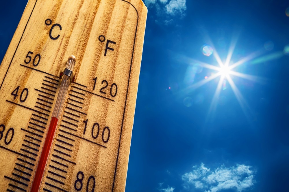
The heat dome that is currently delivering record-breaking heat to parts of the Pacific Northwest will move to the east in the coming days, putting an end to the moderate temperatures that the Midwest and Northeast have been enjoying.
It has been a nice break in the heat for the Northeast over the last few days. This corner of the country has been enjoying moderate temperatures after the longest heat wave of the summer finally let up. While the heat will remain at bay through the weekend, another heat wave is setting up for the eastern half of the country.
The heat will set in throughout the nation’s heartland beginning early next week just as the calendar flips from July to August. After potentially bringing down records in the Midwest, the heat will move into the Appalachians and to the coastal areas of the mid-Atlantic.
As the mass of hot air migrates from west to east, temperatures will soar from near-normal readings to between 5 to 20 degrees above average. Areas that typically see readings in the 80s and 90s to start the month of August will see temperatures approach the century mark. The mercury will start to climb on Monday in parts of Montana before spreading to the Dakotas and parts of Nebraska by Tuesday.
The readings will likely hang out in the 90s for areas of the Upper Midwest, including Minnesota, Iowa, Michigan, Illinois, Indiana, and Ohio. The daily highs are forecast to peak in the upper 90s in these areas beginning around Wednesday and Thursday and continuing through the first weekend of August.
Compounding the heat will be high humidity levels and loads of sunshine. These factors will bring the real feel temperature well into the triple digits. Cities that can expect to see this uncomfortable weather include Chicago, Milwaukee, Detroit, and Minneapolis.

While forecasters are relatively certain that this part of the north-central U.S. will be exceptionally warm for much of next week, the forecast is less certain in areas of New England. Forecasters are predicting that much of New England will see readings in the 90s, however, it is still too early to tell how long this heat will hang on with this wave. The position of the jet stream and the intensity of the heat dome will dictate the lasting power of this blast of warm weather for the eastern U.S.
For instance, if the jet stream remains over New England, the readings in the 90s will be pushed farther to the south. This means that New England will likely avoid the worst of the heat as the high readings stay in the mid-Atlantic and other areas to the south. The position of the jet stream could also trigger rain and thunderstorms in the eastern half of the country.
Conversely, it is also possible that the heat dome brings in enough intensity that it pushes the jet stream farther to the north. This would bring the hotter air temperatures up into the northern reaches of New England. This scenario would also raise the temperature even more in cities such as Baltimore, Philadelphia, and New York City. Readings could meet or exceed 100 degrees if the jet stream is lifted far enough to the north.
This part of the Northeast has been no stranger to heat this summer. The middle of July saw multiple days of readings in the 90s with many cities ahead of pace to notch more 90-degree or higher days. For example, Philadelphia averages 30 days per summer with a high of at least 90 degrees. The city has already tallied 24 days at this reading, ahead of the average pace.
One city that is running behind pace in this category is Washington, D.C. The nation’s capital averages 40 days of readings at or above 90 degrees. However, the city has only notched 20 days at this level. With August just around the corner, Washington is running out of time to reach its average.
For the most part, the Midwest is tracking ahead of schedule for 90-degree temperature readings this summer. For example, Minneapolis has already surpassed its average of 13 days at this reading with 14 days in the record books. Chicago is on pace to break its average of 17 days at or above 90 degrees as it sits at 13 days. One more heat wave could put it over this mark.
Did you find this content useful? Feel free to bookmark or to post to your timeline for reference later.

January 21, 2024

January 19, 2024

January 18, 2024
