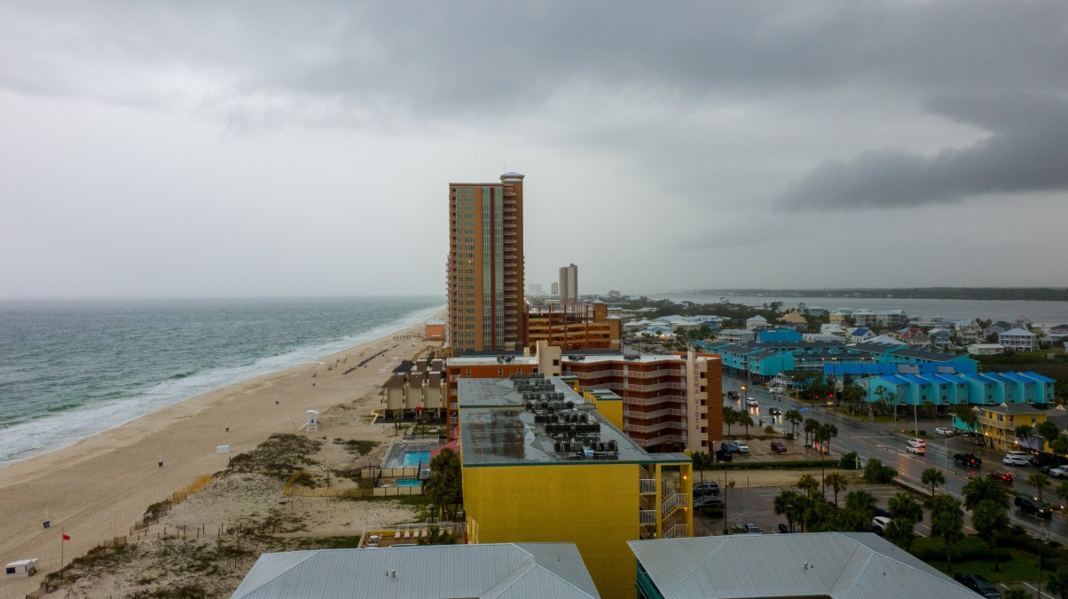
Heavy Rain, Flooding, and Chance of Severe Weather Staring Down the Southern U.S.
January 22, 2024
Posted: January 23, 2023 4:03 pm


While the central and eastern U.S. is dealing with snow and other types of wintry precipitation this week, the South will be looking at the threat of severe weather on Tuesday and Wednesday. Here are all the details on this latest weather threat for the storm-weary region.
The latest round of severe weather will be fueled by a mass of atmospheric energy coming up from northern Mexico that will pull in moisture from the Gulf of Mexico. The storm will start coming together late Monday and into Tuesday with the state of Texas forecast to see the first of the impacts. By the time the weather maker wraps up, it will impact a large area stretching from the Lone Star State into the Carolinas.
The first of the impacts will come down from the southern portion of the Rocky Mountains early Tuesday. This energy will clash with the moisture-rich air coming in from the south to produce a series of severe storms across the southern U.S. The cold air on the northern edge of the storm will work to fuel the storm development.
It will be a rainy Tuesday across the Dallas and Fort Worth metroplex. Rainfall coming close to the one-inch mark will affect the area along with gusty winds. High temperatures in the mid 40s will keep the moisture falling as rain rather than snow.
While Dallas will likely escape with just heavy rain and wind, storms may fire up in southeastern Texas and through the Lower Mississippi Valley by the end of the day. These storms will likely produce heavy rain, strong winds, and an isolated tornado or two.
In addition to heavy rain in Dallas, cities such as San Antonio and Austin will also be under the gun for torrential rain throughout the day Tuesday. Areas farther to the south will see the worst of the rain and severe storms. For instance, Houston is forecast to pick up 1 – 2 inches of rain paired with gusty winds.
The line of storms will eventually migrate to the Gulf coast areas of Texas and Louisiana before moving into southern Mississippi and Alabama by the end of the day Tuesday.
The most likely time frame for destructive winds and isolated tornadoes is Tuesday evening. Areas south of the Interstate 10 corridor encompassing southern Louisiana, Mississippi, and Alabama will be the most at risk for tornadic activity.
Residents of places such as New Orleans, Mobile, and Baton Rouge need to be aware of potentially life-threatening storms, particularly in the overnight hours. This is a good time to check your smartphone to ensure that all storm warning notifications are enabled. The odds of these twisters forming under the cover of darkness will increase their potential threat to life.
By daybreak Wednesday, the storm cells will move to the east, bringing the potential of severe weather to Georgia and into the Florida Panhandle. These storms will continue their track to the east by the evening hours, ushering in heavy rain for the Carolinas.
The good news for those in the Southeast is that Wednesday’s threat is not predicted to be as widespread or intense as what Tuesday will bring. This is because the center of the storm’s energy will be pushing to the north.
By the time the storm pushes into the Northeast, parts of the Carolinas will see rainfall measurements between 1 – 3 inches. This will be enough water to trigger flooded roadways.
Winter impacts will be the primary threat by the end of the week with this storm as it moves to the north and finds much colder air. It is still too early to pinpoint what winter impacts the storm will bring to the Northeast and New England.
Did you find this content useful? Feel free to bookmark or to post to your timeline for reference later.

January 21, 2024

January 19, 2024

January 18, 2024