
Heavy Rain, Flooding, and Chance of Severe Weather Staring Down the Southern U.S.
January 22, 2024
Posted: September 16, 2021 1:18 pm


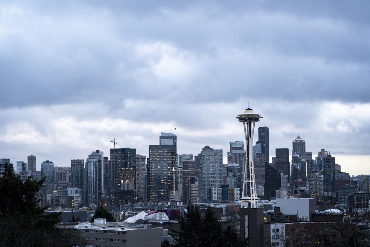
The parched Pacific Northwest is due for a big rainstorm. And it appears as if this is on tap for the end of the week and heading into the weekend. Along with the massive amounts of moisture will come cooler temperatures and the chance of snow at the higher elevations.
A substantial storm is currently picking up intensity over the Pacific Ocean with the Northwest as the target. The precipitation will undoubtedly be a welcome relief for an area of the country still dealing with large wildfires burning through the terrain.
It has been an exceptionally dry summer for much of the West Coast, helping to fuel the fires and contribute to extreme drought conditions. For example, according to the National Weather Service (NWS), Seattle has just recorded its driest spring and summer in 77 years. The summer also included a historic heatwave for the Pacific Northwest with multiple records falling in Seattle and Portland. On average, temperatures were 2 – 6 degrees above normal for the entirety of the meteorological summer months of June, July, and August.
The upcoming arrival of this rain is right on schedule for this corner of the country. As the summer winds down and the beginning of fall sets in, it is not unusual for active weather patterns to track over the northern tier of the Pacific Ocean and into the region. This weather pattern generally brings a higher chance of rain and blustery conditions to the Pacific Northwest as the storms swing inland from the ocean.
This week’s event is the result of a southward dip in the jet stream combining with a storm now positioned over the Bering Sea. This storm will start to move into the Gulf of Alaska by Thursday before moving into the northwestern corner of the US late Thursday and into Friday.
This impending storm is forecast to be the first meaningful precipitation that Seattle has seen in weeks. While an early September rain event brought significant precipitation to parts of Northern California, Seattle only recorded 0.02 of an inch as a result of this system.
The storm is forecast to bring enough moisture to provide heavy rounds of precipitation to much of western Washington, including the Seattle area. This rain will expand southward into Oregon with some of the precipitation also moving east over the Cascade Mountains and into northern Idaho and western Montana. The heavy rain should start in earnest early Friday and will continue for at least 24 hours before moving to the east.
This particular system is predicted to deliver the most significant rainfall to the Pacific Northwest since last spring, likely catching many residents off guard after such an exceptionally dry summer.
Most areas can expect to see 1 – 2 inches of rain in the 24-hour period of impact. Areas to the east of the Cascade Mountains in Washington and Oregon will see slightly less amounts of rain. The heaviest rain is forecast along the western edge of the Olympic Mountains where 2 – 4 inches may fall.
Another round of rain is on tap for later in the day Saturday and into Sunday for the northernmost tier of California. San Francisco may be the beneficiary of this additional burst of moisture out west.
Forecasters are warning residents of Seattle to prepare for the potential of urban flooding. All gutters and storm drains should be cleared in advance of the rain.
In addition to rain and the possibility of flooding, this system will also offer the first chance of snow for the higher terrains of the region. Snow is not out of the question for parts of British Columbia and the Washington Cascades. The greatest chance of snow will come late Friday through Sunday in areas with elevations over 7,000 feet.
The movement of the jet stream may then provide the environmental conditions needed to bring cold enough air mixed with the necessary moisture for snow to fall in parts of the Rocky Mountains this weekend. This includes the higher terrains of Idaho, Montana, Wyoming, northern Utah, and northern Colorado.
The mercury will also drop as the system pushes eastward over the weekend, bringing temperatures that are 10 -20 degrees below normal for much of the Mountain West. For example, after experiencing a high of 93 degrees last Saturday, Denver will likely see lows in the 40s on Tuesday.

January 21, 2024

January 19, 2024

January 18, 2024
