Heavy Rain, Flooding, and Chance of Severe Weather Staring Down the Southern U.S.
January 22, 2024
Posted: September 8, 2023 1:21 pm


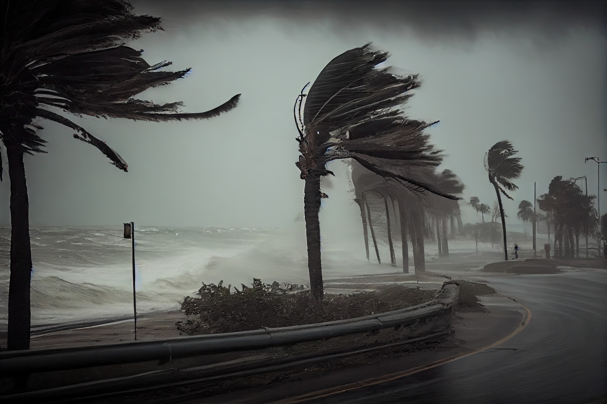
While all of the attention has rightfully been on the rapidly intensifying Hurricane Lee in the Atlantic over the last few days, a stronger storm is actually spinning in the East Pacific. Hurricane Jova intensified into a major Category 5 storm before returning to a Category 4 storm once again. By hitting the Category 5 threshold, Jova became the strongest storm this year in the Western Hemisphere? But will Hurricane Lee take the crown soon? Read on for all of the details.
Unlike Hurricane Lee which will likely threaten the Caribbean in the coming days, Hurricane Nova does not present any immediate danger to land. Jova strengthened into a Category 5 hurricane late Wednesday into Thursday morning as it was able to find warm ocean waters in the Pacific to support its growth. According to the Saffir Simpson Hurricane Wind Scale (SSHWS), a storm with maximum sustained winds of at least 157 mph falls under the designation of a Category 5 hurricane.
By Thursday, Jova was located about 550 miles southwest of the southernmost tip of Baja California, Mexico. The good news for those planning a trip to Cabo San Lucas is that the storm is moving away from Mexico, heading to the west-northwest at a speed of 16 mph. Hurricane Jova is expected to continue to move to the northwest throughout the weekend, keeping it away from any major land masses.
Despite not making a direct strike, Jova is predicted to deliver rough surf conditions and rip currents to the western coastal areas of Mexico. These potentially hazardous beach conditions could reach as far north as Southern California.
Jova recorded a peak wind intensity of 160 mph on Wednesday evening before weakening into a Category 4 storm by Thursday morning. This downward trajectory is predicted to continue through Friday and into the weekend. The weakening will happen as Jova journeys into cooler waters of the open Pacific.
Forecasters were caught off guard by the rapid intensification of Jova, doubling the parameters set by the National Hurricane Center (NHC) of an increase of at least 35 mph over a time period of 24 hours. In just 18 hours on Wednesday, Jova’s wind speeds increased by 75 mph.
In addition, the minimum central pressure of the storm dropped by 1.89 inches of mercury over 24 hours, another sign that the storm had exploded in growth and intensity. Satellite imagery taken on Thursday morning demonstrated a clear eye, confirming that the storm was alive and holding strong.
Jova is also distinguished as the first Category 5 storm in the East Pacific since Hurricane Willa swept through the waters in October of 2018. You do not have to go back that far to find the last Category 5 storm in the Atlantic basin. That feat happened less than a year ago when Hurricane Ian briefly reached this designation in the Gulf of Mexico before weakening to a strong Category 4 storm just prior to landfall in Florida.
With Hurricane Lee in the Atlantic Ocean forecast to become a Category 5 storm at any time, could there be a chance that two hurricanes of this strength will be spinning in the Western Hemisphere at the same time? There has never been a time in recorded history that both the Atlantic and the Pacific basins were sporting a Category 5 storm.
That streak is likely to continue with Hurricane Jova forecast to continue to lose its intensity heading into the weekend. Even if Lee reaches the status of a Category 5 storm soon, it is not likely that Jova will regain this designation.
However, 2023 does still have the possibility of being only the second year on record where each of the two basins saw at least one Category 5 hurricane. Lee would need to achieve this status for this to happen. It was 2018 when hurricanes Lane, Walk, and Willa were churning in the Pacific at the same time that Michael was spinning in the Gulf of Mexico.
The first weather satellites used to detect hurricanes were not in use until 1960. This means that it is entirely possible that there have been instances in which two Category 5 storms roamed each basin at the same time.
Did you find this content useful? Feel free to bookmark or to post to your timeline for reference later.

January 21, 2024

January 19, 2024

January 18, 2024