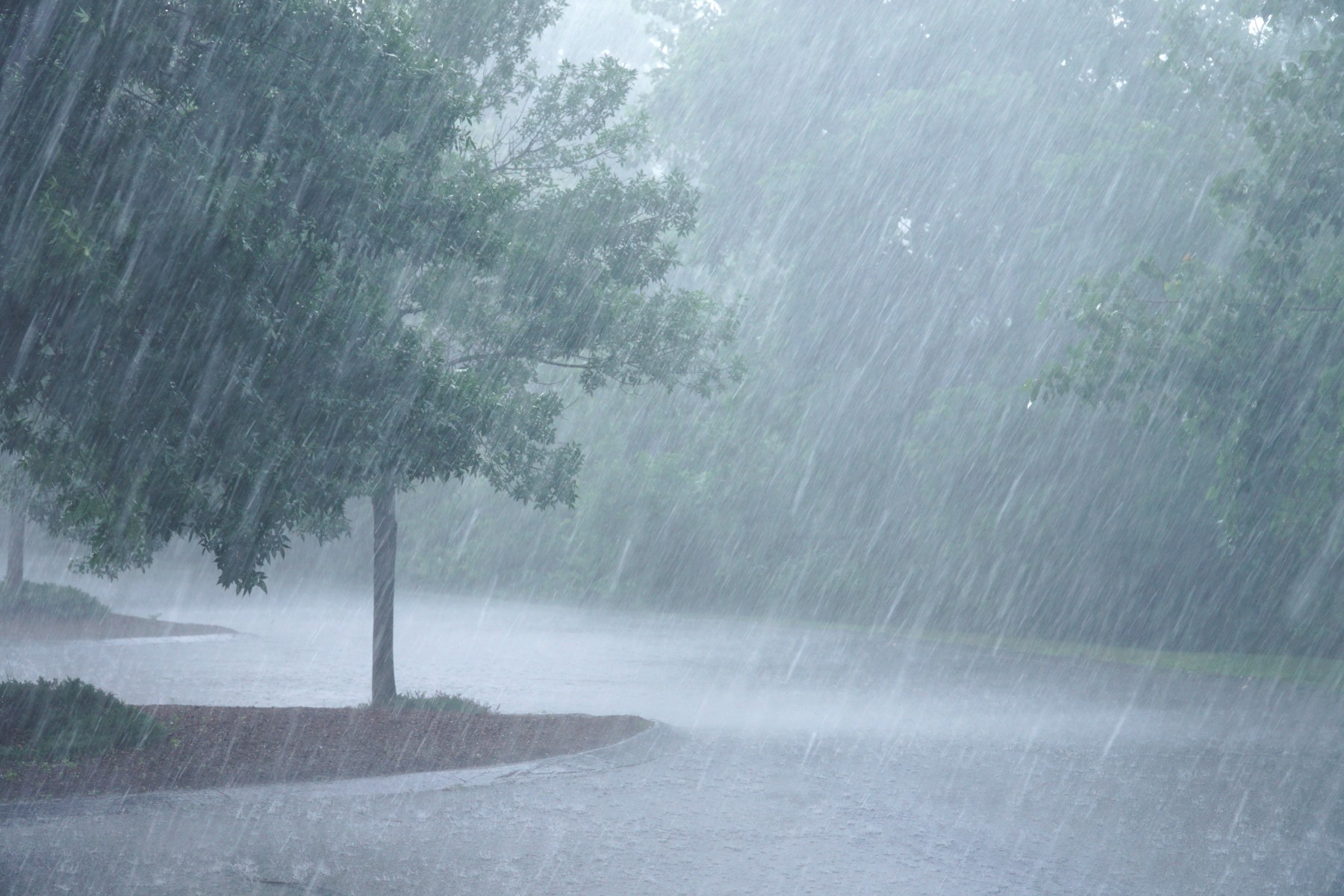
Heavy Rain, Flooding, and Chance of Severe Weather Staring Down the Southern U.S.
January 22, 2024
Posted: April 13, 2023 3:07 pm


The ramifications of the massive amounts of snow that fell across the north-central U.S. this winter will be felt in the coming weeks in the form of flooding.
Meteorologists are warning that the surge in temperatures this week will trigger the annual spring melting event throughout this part of the region. The higher than average amount of snowpack will undoubtedly lead to flooding concerns.
The temperatures are on an upward trajectory throughout the eastern two-thirds of the country this week, bringing the mercury up into the 70s and even the 80s. As the warm air filters into the region, the snowpack across the north-central U.S. will start to melt at a fast clip.
Forecasters are sounding the alarm bell about the amount of water that is located within this snowpack. For instance, some parts of the Dakotas, Minnesota, and Wisconsin have snowpack levels that encompass up to 8 inches of water within that mass of snow.
In addition, temperatures hovering below freezing across much of this region in recent weeks have kept a good amount of ice on streams and rivers. This ice will also begin to melt as the mercury climbs, triggering the possibility of ice jam flooding.
The great threat of flooding will happen in areas located along the southern fringe of the deepest snowpack. This includes the bulk of South Dakota, central portions of Minnesota, northern Wisconsin, and into Michigan’s Upper Peninsula.
Complicating the weather situation in the coming days will be more moisture coming into the nation’s midsection from the West by later in the week. While the latest models only indicate rainfall amounts of less than an inch, any additional moisture will hit the snow and increase the flooding potential.
However, the greatest trigger for flooding will be the increasing temperatures. Moderate to major flooding is in the forecast for some of the most significant river basins over the next few weeks. This risk will vary from basin to basin depending on a number of influencing factors.
For instance, the Red River of the North is most likely to see major flooding in the near future. While the biggest population centers located along this river have put in a number of measures to help to mitigate this threat of flooding, some of the more rural communities will be at risk of crop damage and road closures.
One complicating factor in the northern Plains lies with the generally flat terrain of the region. It typically takes longer for flood waters to recede without a natural slope built into the terrain. This means that water that pools on crop fields can take weeks to recede, delaying the planting season during a crucial time of the year.
In addition to the Red River of the North, other rivers that may be under the gun for moderate to major flooding this spring include the Crow, Minnesota, James, Big Sioux, Menominee, and Wisconsin.
For instance, the National Weather Service (NWS) is predicting that the James River will hit major flood stage by the middle of April.
The upper Mississippi River will also see flooding through April and into May. This area is defined as the region north of St. Louis. Despite the presence of mitigating tools such as dams and locks, these stops are not enough to prevent moderate and major flooding events.
The risk of major flooding will be heightened if heavy rain moves into the area.
The Mississippi River has a history of major flooding events. The most recent event happened in 2019, one of the worst flooding situations ever recorded along this basin. The years 2008 and 1993 were also distinguished for their flooding events along this massive river.
While the Mississippi River watershed is likely to see some degree of flooding this spring, it may be a different situation along the Missouri River. This watershed recorded less snowfall this winter when compared to the north-central U.S.
In fact, snowpack along the headwaters of the Missouri River in Montana is actually measuring below normal. This will translate to a lower risk of flooding in the coming weeks.
However, ice jams on some of the tributaries of the Missouri River could be an issue as it relates to flooding. Climate experts will be watching this issue closely over the next few weeks and into May.
Did you find this content useful? Feel free to bookmark or to post to your timeline for reference later.

January 21, 2024

January 19, 2024

January 18, 2024