
Heavy Rain, Flooding, and Chance of Severe Weather Staring Down the Southern U.S.
January 22, 2024
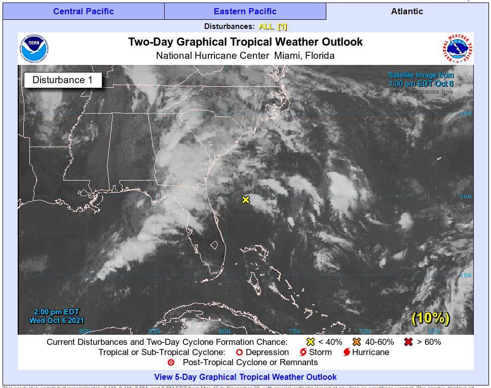
Posted: October 6, 2021 1:37 pm


While there are no hurricanes threatening the US this week, a surge of tropical moisture coming in from the Gulf of Mexico is at fault for the heavy rainfall and risk of flash flooding throughout the southeastern US this week.
It has been an exceptionally soggy week for much of the Florida Panhandle, Alabama, and Georgia. Pensacola, Florida, recorded over eight inches of rain on Monday alone, taking second on the list for the wettest day in history for October 4. The only day that saw more rain than this was in 1996 when Hurricane Opal rushed into the Panhandle.
As a result of the persistent rainfall, flash flood watches and warnings are in effect for much of the region, stretching as far west as Louisiana. The storm is predicted to crawl through the area, increasing the odds that flash flooding will occur. This system will continue to pull up moisture from the Gulf for the remainder of the week.
Unfortunately, the cities most likely to see heavy rain are some of the same areas that have already been inundated with heavy precipitation over the last few weeks. For example, Birmingham, Alabama, has already measured 3.5 inches of rain over the first few days of this month. This is more than the average rainfall amount for the entire month of October.
September was a historic month for rainfall along the Gulf Coast. New Orleans recorded over nine inches of rain, coming in at 184% of normal for the month.
The storm will make its way to the north at a slow pace through the end of the week. This will bring rain to the Appalachians and to the Tennessee and Ohio valleys. This rain will raise the risk of flooding for cities such as Nashville, Bowling Green, Kentucky, and more.
As this tropical moisture is coming up from the Gulf, another band of similar moisture will move in from the western Atlantic Ocean. Together, these two areas of tropical moisture will further increase the odds that many areas of the Southeast experience significant rainfall.
This moisture is forecast to remain on a northeast trajectory through the week. As it moves in this direction, parts of Mississippi and Alabama will finally see some clear skies and dry weather by the start of the weekend.
While the tropical activity has quieted down in recent days, it certainly does not mean that the US is out of the woods yet. Official hurricane season does not end until November 30, leaving plenty of time for more tropical activity to develop.
A tropical low is currently positioned to the north of the Bahamas. While this low may deliver meaningful moisture to the southeastern coast of the US, the presence of strong wind shear will likely prevent it from intensifying into a named storm.
However, a shift in the atmosphere this weekend and into next week may increase the chances that this low further intensifies. As the jet stream drops to the south and the storm system located in the Southeast tracks to the north, the ingredients may be there for a tropical feature to form.
The next name on the pre-determined list is Wanda.

January 21, 2024

January 19, 2024

January 18, 2024
