Heavy Rain, Flooding, and Chance of Severe Weather Staring Down the Southern U.S.
January 22, 2024
Posted: August 6, 2023 6:43 am


A pair of tropical weather events have been churning through the Pacific Ocean near Asia, dropping torrential rain on China and bringing potential impacts to Japan in the coming days. Here is a look at what is happening in this corner of the planet as the typhoon season kicks into high gear for Asia and the surrounding islands.
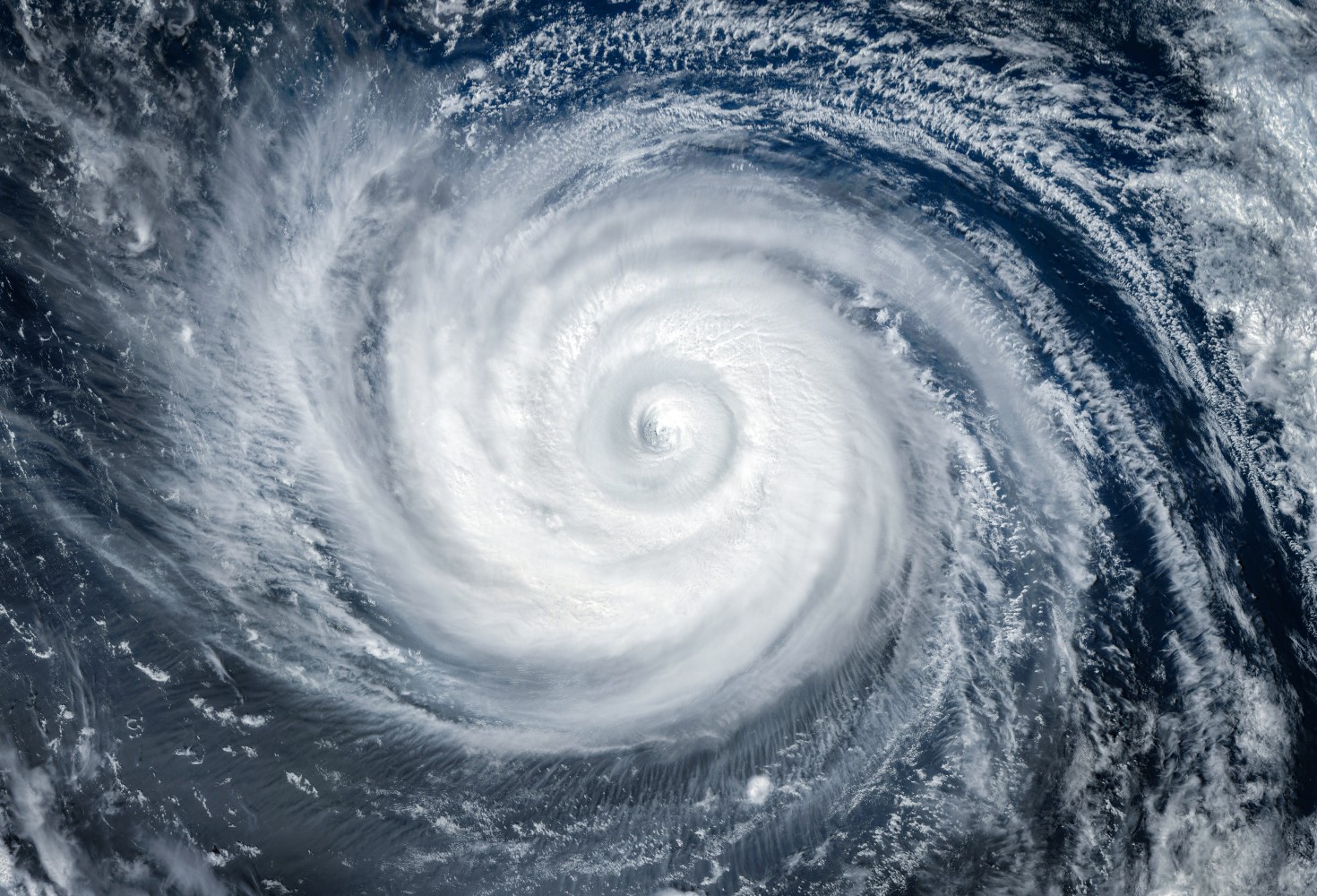
A potent cyclone is making its way toward mainland Japan, set to drop potentially deadly amounts of rain to the region. Khanun has been circulating in the western Pacific Ocean with its sights on Japan in the coming days.
The feature came together late last week in an area of the ocean west of Guam, intensifying and growing as it moved across the Philippine Sea. The cyclone reached a peak intensity equivalent to a typical Category 4 hurricane before weakening and moving across the Ryukyu Islands of Japan on Tuesday.
The city of Okinawa recorded wind gusts as high as 87 mph as the typhoon raged across the area. At least one death and over 40 injuries have been blamed on the storm in Okinawa with about 30% of the homes losing power.
Forecast models are predicting that Khanun will move to the east at a slow crawl through early next week before turning to the northeast and then the north. This track would take the typhoon across Kyushu by the middle of the week.
Heavy amounts of rain are expected with this system due to its slow movement. The storm has already dropped up to 13.55 inches of rain in Okinawa, speaking to the amount of moisture circulating in this system.
The forecast is calling for rainfall of 4 – 8 inches in southwest Japan beginning Monday and continuing through early Thursday. This torrential rain may expand to the eastern edge of Korea by the middle of the week.
Strong winds will also be an issue with this cyclone with gusts of up to 100 mph in the cards for southwest Japan through Wednesday. The eastern coastal areas of Korea could see gusts up to 80 mph by late in the week.

Unfortunately for this part of the Pacific, there is more tropical development on the horizon. Meteorologists are keeping a close eye on a zone in the West Pacific Ocean located north of the Mariana Islands. This potential storm could feed off some of the energy of Khanun as it moves to the north. There is a possibility that this system could grow and skirt past Honshu, Japan by next weekend.
A deadly storm that roared across the Hebei province of China earlier in the week has displaced over a million residents. Local officials say that it could take weeks for the water to recede.
The remnants of what was once Typhoon Doksuri moved across the northern province beginning last weekend, killing at least 22 people in its wake. The storm is distinguished as bringing the most rain that Beijing has seen in 140 years.
Residents that have been forced out of their homes are now sheltering in hotels and schools. The flooding has impacted over 2.2 million people overall.
Did you find this content useful? Feel free to bookmark or to post to your timeline for reference later.

January 21, 2024

January 19, 2024

January 18, 2024