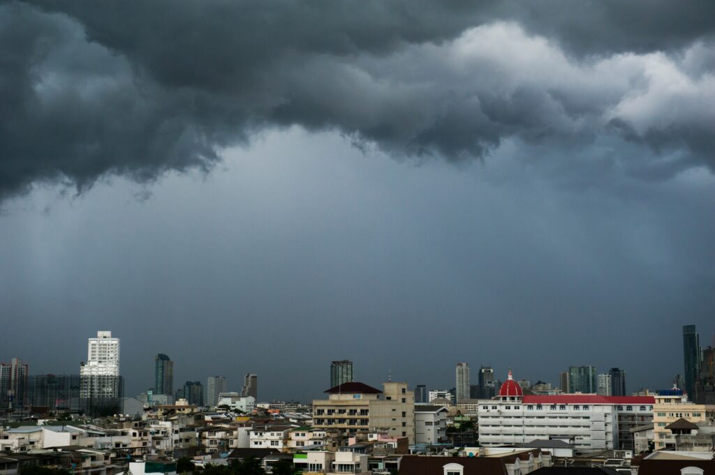
Heavy Rain, Flooding, and Chance of Severe Weather Staring Down the Southern U.S.
January 22, 2024
Posted: June 8, 2023 2:39 pm


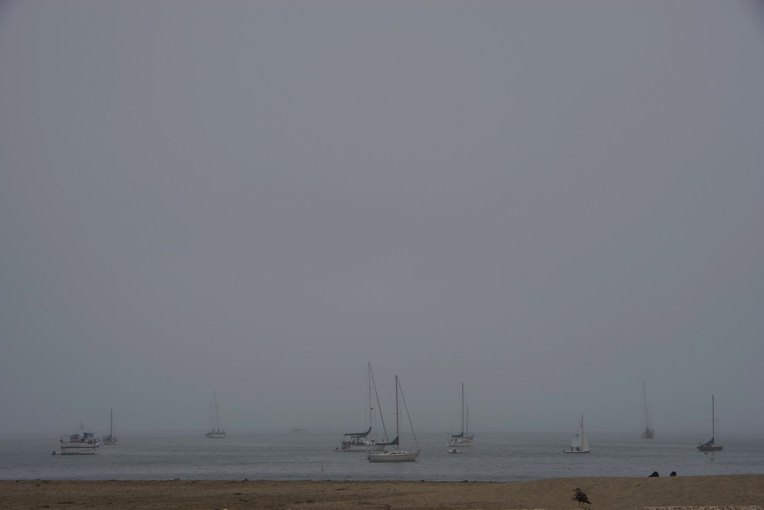
The June gloom is going to hang on across Southern California for much longer than normal thanks to the persistent marine layer that has set up over the region.
Meteorologists are warning residents and vacationers that the dreary weather pattern is forecast to last for the next few weeks. Here is what you need to know about when this gloom may lift.
Summer may take a bit longer to arrive in Southern California this year. While Californians are used to the traditional June gloom that happens in this part of the Golden State, they may not be used to it sticking around for so long and with such intensity.
The cool and wet weather end to spring and start to summer comes after an exceptionally raw winter. While the heavy amount of moisture that fell across the state over the winter went a long way to erase the long-term drought, Californians are eager to see the sun return for good.
The current weather pattern is being fueled by a parade of storms that continues to march across the state from the Pacific Ocean. These storms are encouraging the formation of a deep marine layer, allowing chilly and moist air to build up below the warm and dry air located above.
In addition to the low clouds, the marine layer also ushers in fog and drizzle. While the marine layer typically lifts by the afternoon, it has been lingering all day in some places this June.
The areas located farther inland are most likely to see the clouds break by the afternoon while the gloom may persist throughout the day near the coastal portions of Southern California.
The clouds generally break up later in the day as the sunshine located above helps to push down the dry air toward land. However, this year’s June weather pattern has resulted in cooler and cloudier days that have expanded inland, stretching well beyond the usual coastal areas.
As a result, the entire metropolitan areas of San Diego and Los Angeles have been dealing with the June gloom.
Temperatures have also been trending downward because of the persistent cloud cover. For instance, the readings in downtown Los Angeles have come in at 2 degrees below normal since the beginning of May because of the strong marine layer. San Diego has seen average readings hit 2.1 degrees below the historical average.

Not only is the gloom bad news for tourists hoping to hit the beach but the consistently cloudy and cool conditions have also impacted the honeybee population in Southern California. Coupled with the regular bouts of moisture during the winter months, the bees have been facing cold and soggy weather for a long period of time.
Honeybees generally do not emerge from their homes and begin to make honey until the weather becomes drier and warmer for several days in a row. As a result, the bees have not received the signal from Mother Nature that it is time to get to work.
Looking ahead, the southern portions of the state should brace for more gloomy conditions. A storm currently churning over the state will start to move out by Thursday, bringing in an area of high pressure that will translate to a lighter marine layer.
However, a new storm is forecast to move into California this weekend. This storm will likely create a deeper marine layer that will last through at least the middle of the. month. This pattern will also trigger regular periods of drizzle along the coastal areas of Southern California.
In addition, the area of low pressure located just off of the West Coast is predicted to stay in place through the end of June. This will raise the risk of more storms popping up and creating the cloudy conditions for the next few weeks.
The cooler than average water temperatures in this part of the Pacific Ocean may keep the marine layer in place into the early parts of July.
Did you find this content useful? Feel free to bookmark or to post to your timeline for reference later.

January 21, 2024

January 19, 2024

January 18, 2024