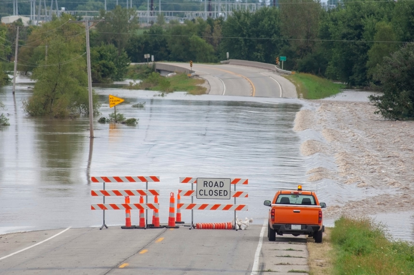
Heavy Rain, Flooding, and Chance of Severe Weather Staring Down the Southern U.S.
January 22, 2024
Posted: March 10, 2023 3:46 pm


Goodbye La Niña. On Thursday, the Climate Prediction Center (CPC) out of the National Oceanic Atmospheric Administration (NOAA) officially declared that the La Niña phase is over. In its place could come the opposing El Niño pattern.
The outgoing La Niña phase has lasted almost three years and has impacted numerous facets of weather throughout the Northern Hemisphere during that time period. During a La Niña phase, colder ocean temperatures are in place across the equatorial Pacific. The longer than usual phase of this La Niña has earned the nickname of the “triple-dip La Niña” because it lasted across three winter seasons.
The beginnings of the La Niña phase were first noted during the time period of July, August, and September of 2020 in the central Pacific Ocean. The conditions persisted for 30 months, almost breaking the historic record of longevity set during the La Niña from 1998 to 2001, a phase that hung on for 32 months.
A La Niña pattern is defined when ocean water temperatures across the eastern equatorial Pacific Ocean measure at least 0.9 of a degree Fahrenheit below normal over a range of three months. On the opposing end, El Niño is defined when the average temperature is 0.9 of a degree higher than normal. Neutral conditions are observed during other time periods.
Although this change in water temperature may seem inconsequential, it can drastically alter the weather conditions in the corresponding hemisphere. The change happens as a result of alterations to global wind patterns, sending storms in different directions.
For instance, during a La Niña pattern, the southern tier of the U.S. typically experiences warmer temperatures and drier conditions than what is normal. Conversely, the northern part of the country tends to see conditions that are wetter and colder.
A La Niña phase also generally spurs the development of tropical weather events in the Atlantic basin. This was demonstrated in 2020 when a record-setting hurricane season was recorded in the Atlantic. Forecasters had to go through more names than ever before to assign to the storms. This year was followed with another season that came in above average in 2021. The 2022 season landed within normal range.
So what is next for the global weather patterns in the Northern Hemisphere? The CPC is predicting that neutral conditions will remain in place through the spring and the early summer months. This will translate to no significant impact on weather patterns as a result of ocean water temperatures.
However, the El Niño phase is forecast to develop later in the summer and into the fall. This will once again impact the weather patterns in the Northern Hemisphere for the second part of the year and heading into 2024.
An El Niño pattern usually brings wetter than average conditions to the southern U.S. with warmer and drier weather to the northern part of the nation. A strong El Niño pattern is often associated with deadly flooding in some parts of the U.S. with severe drought conditions overtaking other areas. The latest significant El Niño patterns were observed from 1997 into the beginning of 1998 as well as from 2015 into the early months of 2016.
However, forecasters are predicting that the emerging El Niño will not be particularly strong as it gets going later in the year. This is because ocean waters in the eastern Pacific are still trending below average. This will limit the potential for sea surface temperatures to increase in the equatorial Pacific. The transition to an El Niño phase will likely be more gradual.
Did you find this content useful? Feel free to bookmark or to post to your timeline for reference later.

January 21, 2024

January 19, 2024

January 18, 2024