
Heavy Rain, Flooding, and Chance of Severe Weather Staring Down the Southern U.S.
January 22, 2024
Posted: December 16, 2022 10:43 am


Although the bulk of the moisture associated with a massive cross-country storm that impacted most all Americans over the last week is now finally fading away, the cold air filtering in behind the system will present its own set of problems into the weekend. The most significant of these impacts will come in the form of lake effect snow.
This lake effect snow event will come on the heels of the snowfall that has been hitting the Upper Midwest and into the interior Northeast. The good news is that this upcoming snow will not likely be as severe as the historic event that unfolded during the middle of November. However, some areas are still forecast to see snow that is measured in feet rather than inches. Strong winds may complicate the situation further and trigger hazardous travel conditions.
The parts of the region forecast to see the heaviest snow include southwestern Michigan, western and northern portions of New York, and the northwestern corner of Pennsylvania. A west-southwest wind flow is expected to dump lake effect snow forming over Lake Erie into Buffalo and its surrounding environs starting late Friday and continuing through Saturday.
As the winds begin to change to a northwesterly direction, more of the moisture will then travel into southwestern New York and northwestern Pennsylvania starting Sunday and lasting into Monday. Unlike the monster November snow event that was primarily stationary, this weekend’s storm will move from day to day. This movement will keep one region from bearing all of the brunt. As with most lake effect snow events, the rapid shifts in winds translates to great disparities in accumulation in neighboring areas.

However, forecasters warn that the snow will still be significant enough to cause major travel disruptions. There is a potential of 1 – 3 feet of snow falling throughout the weekend in the primary impact zone.
For instance, travel to and from the NFL game between the visiting Miami Dolphins and the Buffalo Bills on Saturday evening could be challenging because of the snow. This part of the state saw over 80 inches of snow in November, forcing NFL officials to move the scheduled game on November 20 in Buffalo to Detroit’s Ford Field.
It will also be bitterly cold in Highmark Stadium at kickoff. Forecasters are predicting temperatures in the teens with winds making it feel even colder.
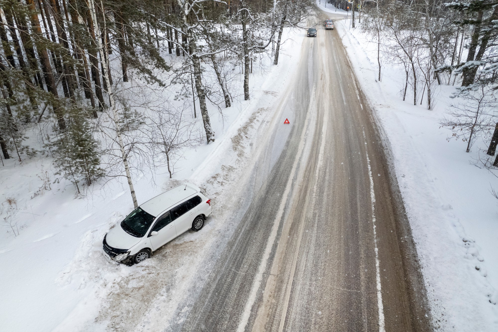
Travel may also be difficult along some parts of interstates 79, 80, 81, 86, 90, and 196. Motorists need to be aware of the possibility of whiteout conditions and road closures throughout the weekend.
Although the lake effect snow is not predicted to make it over Appalachians, the cold air will certainly be in place. The forecast is calling for temperatures hovering in the single digits and teens throughout the vicinity of the Great Lakes and central and northern Appalachians. Meanwhile, the Atlantic coast can expect readings in the 20s and 30s.
This cold is just the beginning of what is to come. A mass of Arctic air is forecast to filter into the central and eastern U.S. in the coming days, ushering in some of the most frigid temperatures in decades for portions of the northern Rockies, Upper Midwest, and the Great Lakes. There is also more lake effect snow on tap for the days leading up to Christmas.
Did you find this content useful? Feel free to bookmark or to post to your timeline for reference later.

January 21, 2024

January 19, 2024

January 18, 2024
