
Heavy Rain, Flooding, and Chance of Severe Weather Staring Down the Southern U.S.
January 22, 2024
Posted: July 24, 2023 2:46 pm


The last week of July is going to predictably bring hot weather. And this week’s weather pattern will feature some of the highest readings of the year with several records in jeopardy of falling across the nation’s heartland.
Here is a detailed look at what parts of the country can expect to see rising temperatures as a new week kicks off.
The Desert Southwest has been stealing all of the headlines in recent weeks as the region continues to sizzle under a persistent heat dome. This ridge of high pressure is already expanding to the north and the east, bringing more cities under the dome of heat.
Some of the nation’s most populated cities may experience the longest consecutive string of readings in the 90s and triple digits in the coming days.
The elevated temperatures present a number of dangers, including an increase in heat-related illnesses, wildfires, and more. Some of the cities under the gun for this blistering heat include Kansas City, Omaha, St. Louis, and Chicago.
This will be a change for a part of the country that has largely escaped prolonged stretches of heat this summer. For instance, temperature readings have been trending below normal for July in Minneapolis, Denver, Chicago, and St. Louis.
This is all about to change this week as the record-breaking temperatures in the Southwest start to spread their reach. Residents in the central U.S. can expect temperature readings to soar to levels that are about 5 to 15 degrees above normal for the last week of July.
The first triple digit readings of the year could hit Denver this week. The Mile High City is forecast to approach the mark on Monday. The possible presence of scattered afternoon storms could prevent this benchmark from being reached.
By the middle of the week, the heat will expand eastward into Kansas City, St. Louis, Des Moines, Minneapolis, and Chicago. Widespread readings well in the 90s are on tap for this part of the nation by Wednesday. The humidity levels will also increase during this time period, sending the real feel temperatures even higher.
These readings are expected to hang on through the end of the work week. Should this forecast come to fruition, it would be the longest stretch of heat and humidity for cities such as Chicago since the beginning of July.
St. Louis is also expected to see consecutive days of temperatures in the 90s. This weather pattern could hang on through early August with little relief in sight.
Compounding the heat will be an absence of moisture. This is a section of the U.S. that has seen persistent rain showers and thunderstorms in recent weeks.
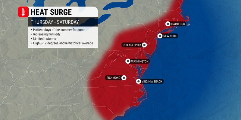
The extreme heat will continue its march to the east, reaching the Northeast by the end of the week.
There will be no relief from the heat in the near term for the Southwest. A delay in the arrival of the North American Monsoon season will prevent any significant cooling. However, a slight chance of moisture for the Phoenix area to start the week could bring a bit of brief relief.
Phoenix has been the nation’s hot spot this summer, notching its most prolific heat wave in recorded history. The Valley of the Sun has recorded temperatures at or above 110 degrees for 24 straight days. The prior streak from 1974 had topped out at 18 days.
Los Angeles is also expected to climb into the low 90s by the middle of the week, well above normal for this part of California. Readings will remain in the upper 80s for the balance of the week.
The good news for those in the interior Northwest is that the heat in this region is forecast to let up slightly by the start of the week. Temperatures in Boise, Idaho will fall from the triple digits on Monday to the mid 90s by Tuesday. Although it will still be hot by most standards, there should be a noticeable change when stepping outside.
As the beneficiary of a cool front, places such as Seattle and Portland will start the week with significantly cooler temperatures. Seattle is forecast to drop from temperatures in the mid 80s on Sunday to a high of just 68 degrees on Monday. The mercury will be suppressed as cloud cover and rain impacts the Emerald City.
Portland will also wake up to rain showers to start the week on Monday. While conditions are forecast to dry out later in the day, the cloud cover will keep the mercury in the upper 70s for a high.
Did you find this content useful? Feel free to bookmark or to post to your timeline for reference later.

January 21, 2024

January 19, 2024

January 18, 2024
