
Heavy Rain, Flooding, and Chance of Severe Weather Staring Down the Southern U.S.
January 22, 2024
Posted: March 14, 2023 3:48 pm


Many Americans in the Northeast woke up to howling winds and blowing snow as a robust nor’easter is making its way up the Atlantic Seaboard and pushing into the interior portions of the region. Here is a look at a few of the top developing headlines on Tuesday.
In meteorological terms, a nor’easter is a powerful storm that ushers in northeasterly winds up the Atlantic coast. The winds are typically the most dangerous part of this type of weather event. The gusty winds become more intense as they move in unison with cold fronts.
The low pressure storm generated as part of the nor’easter can become more intense if it clashes with an existing area of high pressure anchored over northern New England or into Canada. The change in pressure creates even greater winds with some gusts approaching hurricane force strength of 74 mph or greater.
Pressure that falls by 0.71 of an inch of mercury or more within a period of 24 hours or less is undergoing the process known as bombogenesis, becoming a bomb cyclone. Bomb cyclone storms are more common between the months of September and April.
Fans of the famous cherry blossoms in Washington, D.C. are holding their breath hoping that the early blooming buds will be spared from the wrath of this nor’easter. Although the snowfall and bitter cold temperatures associated with this storm skirted around the nation’s capital, the strong winds on the fringes of the system could pose an issue for the cherry blossoms.
Wind gusts are forecast to approach 50 mph in Washington, D.C. on Tuesday. Temperatures that top out in the mid 40s will tumble down to about the freezing mark in the overnight hours. Combined with the strong winds, the real feel will land in the teens.
Part of the concern is that the cherry blossoms began to make an appearance earlier than usual this year thanks to the warmer than average February. For instance, over 70% of the trees in the region hit the green buds stage by February 23. By March 11, the cherry blossoms had reached the fourth stage of bloom, exposing the delicate flowers of the trees. These flowers are at risk of damage before they reach their peak bloom if the winds whip up along with the cold temperatures.
Although it was straight rain that was falling Monday night in New York City, falling temperatures changed this moisture over to snow by Tuesday morning at about 8 am local time. The city’s official weather station in Central Park confirmed the falling snow as people headed out for the morning commute. The Big Apple is expecting about no more than an inch of accumulation within the city with 1 – 3 inches falling in the northern and western suburbs.
Not surprisingly, travel complications are abound as a result of this nor’easter. In addition to the numerous flight delays and cancelations, an incident at Syracuse Hancock International Airport shook up passengers on their way to LaGuardia Airport. The plane slid off the runway at about 7:30 am and landed nose down in a grassy area. Investigators are looking into what caused the mishap. Snow was falling in the area at the time of the event.
A ground stop for departing flights was issued for a time at LaGuardia Airport on Tuesday morning due to deteriorating weather conditions. Bradley International Airport in Hartford, Connecticut was also forced to close for a time. Other airports dealing with multiple impacts to the flight schedules include Boston Logan International Airport and Newark Liberty International Airport.
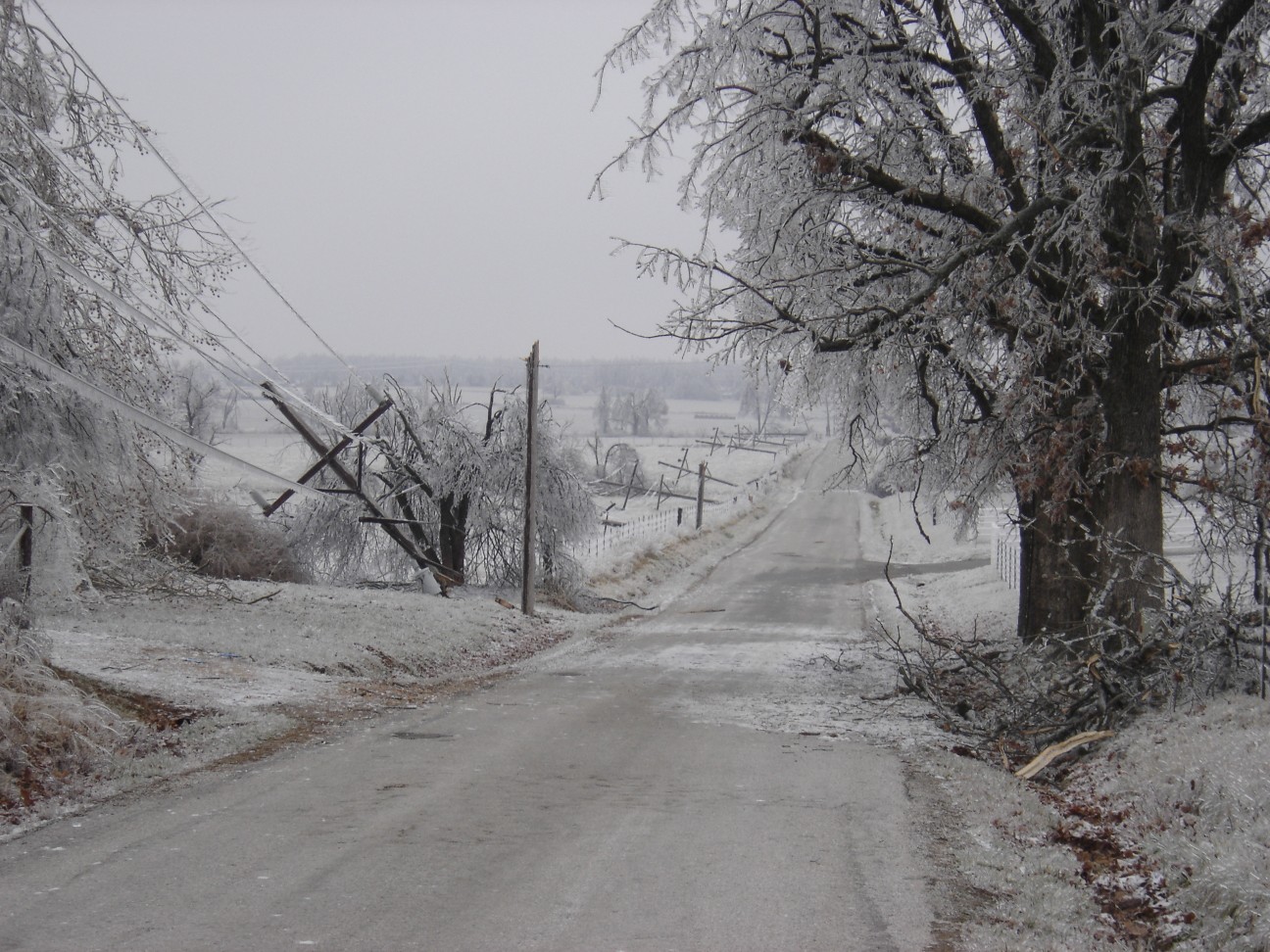
The number of power outages throughout the Northeast is climbing. By Tuesday morning, there were over 21,000 customers without power in Massachusetts with the bulk of these in the western third of the state.
The eastern part of New York state was also dealing with significant power outages, reaching 35,000 by the time the sun came up. Southern Vermont is reporting over 10,000 customers in the dark with more outages likely as the nor’easter expands northward into New England.
As was forecast, the hardest hit areas in terms of snow accumulation with this system has been in western Massachusetts and the higher elevations of the interior Northeast. The town of Windsor, Massachusetts had recorded over 20 inches of snow by Tuesday morning.
The town of Palenville, New York in the Catskills is already measuring 18 inches of new accumulation. Some communities in southern Vermont have seen 16 inches of snow with more accumulation expected in the coming hours. The border towns between Connecticut and Massachusetts are also seeing significant accumulation, coming in at over 8 inches before lunchtime.
Did you find this content useful? Feel free to bookmark or to post to your timeline for reference later.

January 21, 2024

January 19, 2024

January 18, 2024
