
Heavy Rain, Flooding, and Chance of Severe Weather Staring Down the Southern U.S.
January 22, 2024
Posted: November 24, 2023 7:34 am


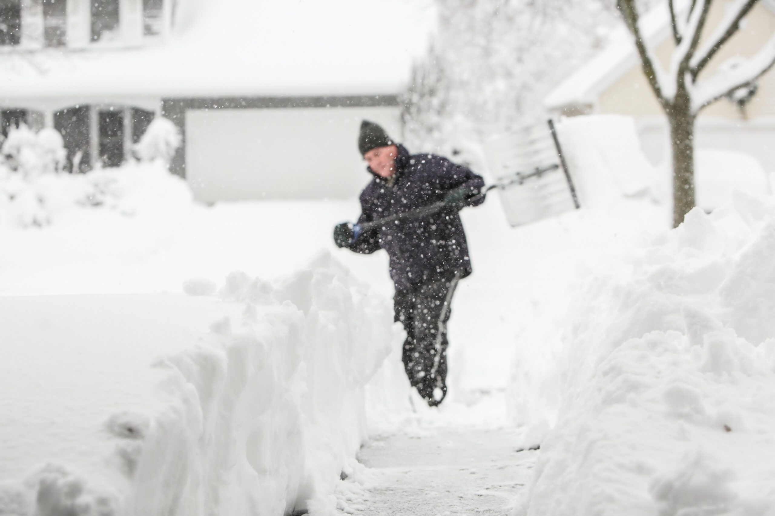
It could be a messy trip home from the holiday weekend for those in the Midwest as a winter storm bears down on the nation’s heartland. Here is what you need to know about the forecast over the next few days.
Storm Advances from Rockies into the Midwest
The winter storm that is currently unleashing up to two feet of snow in some portions of the Rocky Mountains is going to make its way across the Plains and the Midwest this weekend, complicating travel at the tail end of the holiday. In addition, the Great Lakes is bracing for what is predicted to be the first major lake-effect snow event of the season heading into the early part of next week.
While this weather maker will do the most damage across the Rockies, it will also bring in enough moisture from the Gulf of Mexico to create a swath of accumulating snow stretching from Kansas and up into Michigan as it advances to the east.
You can expect the most snow to fall across portions of central Kansas beginning Saturday morning. An isolated zone could pick up 6 – 12 inches while the state’s metro areas of Wichita, Kansas City, and Topeka will see snowfall in the range of 1 to 3 inches.
The bulk of the snow will not fire up until after the sun sets on Saturday. This means that temperatures will be cold enough to create slippery roads. The mercury will fall into the upper teens in some parts of the storm’s impact zones, translating to widespread icy roads late Saturday and into Sunday.
Snow Lines Moves to the East on Sunday
The system will continue to push to the east on Sunday, bringing an inch or two of accumulation to a zone from Illinois and into southern Wisconsin and the Lower Peninsula of Michigan. The northwestern corner of Ohio and northern Indiana will also likely see the flakes fly.
The good news is that the temperatures are forecast to be slightly warmer in this part of the U.S., meaning that the majority of the snow will melt when it makes contact with the roads. However, forecasters caution that some slippery spots may develop, particularly on bridges and other elevated surfaces. The snow will also create poor visibility on the roadways just in time for the busy rush home on Sunday.
Air travelers may see delays due to the necessity of de-icing operations. Be sure to check your flight before heading out to the airport.
The southern Plains and the mid-Mississippi Valley is expected to see the moisture fall primarily as rain. Areas around Interstate 70 across the Ohio Valley could experience a mix of rain, wet snow, and sleet, depending on the temperatures at the time that the moisture arrives.
Falling temperatures late Sunday and into Monday could cause some of the wet spots to freeze overnight. Motorists heading out for the early Monday morning commute will want to be aware of potential travel spots.
Lake-Effect Snow in the Forecast
This winter storm is predicted to merge with another system brewing near New England and a third storm that is coming down from southern Canada to bring in much colder air across the Upper Midwest. Strong winds will accompany this blast of cold air, setting the stage for a lake-effect snow event.
Winds are predicted to hit between 35 and 45 mph around the Great Lakes region on Monday and Tuesday. Winds of this magnitude will likely produce overwash across the windward shorelines.
This cold air moving over the warmer waters of the Great Lakes is forecast to trigger the first major lake-effect weather event of the season. Locally heavy snow is on the horizon early in the week for portions of northern Wisconsin and northern Michigan, stretching into the western and northern Lower Peninsula of Michigan. Other areas that may see these lake-effect snow bands include northeastern Ohio, northwestern Indiana, northwestern Pennsylvania, and the central, western, and northern areas of New York state.
Those in the target area should prepare for up to 2 inches of snow per hour, producing whiteout conditions. Blowing and drifting snow is also a possibility in the hardest-hit areas. The lake-effect snow is expected to begin to churn up late Sunday in the Midwest before moving to the eastern portion of the Great Lakes over the next few days.
Did you find this content useful? Feel free to bookmark or to post to your timeline for reference later.

January 21, 2024

January 19, 2024

January 18, 2024
