
Heavy Rain, Flooding, and Chance of Severe Weather Staring Down the Southern U.S.
January 22, 2024
Posted: October 23, 2022 9:02 am


The first accumulating snowfall is on the way for parts of the West as the weather takes a dramatic turn starting on Sunday and continuing through the early part of next week.
The change in the weather will feel especially dramatic for the Pacific Northwest, a region that has been under unseasonably warm temperatures for the last few weeks. For example, the temperature soared into the low 80s last weekend in Seattle, a departure of about 20 degrees from normal for this time of the year. This warmth hung on through the week in places such as Portland and Reno.
That is all changing as a powerful storm system has already started to dump moisture and bring the mercury downward. Snow began to fall in the highest terrains of Idaho and Montana on Saturday. This same system also brought a steady rain to a large swath of land stretching from Washington into Oregon, Nevada, and Utah. The rain was especially welcome in Seattle after the Emerald City had to deal with dangerous air quality levels all of last week.
The mass of cold air is bringing in moisture from the Pacific Ocean as it moves to the southeast. This weather maker will bring snow to the Rockies before tracking across the Plains with the threat of severe thunderstorms to close out the weekend and start the work week.
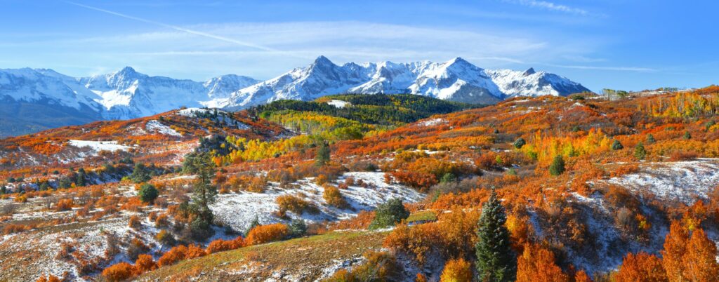
As the temperature falls from Sunday into Monday, the highest elevations of the Intermountain West can expect to see significant snow accumulation. About 6 – 12 inches of snow is in the forecast for a number of mountain ranges, including the Rockies of Colorado, the Wasatch Mountains in Utah, the Tetons in Wyoming, and Idaho’s Sawtooth Range. Some flakes may even fly in areas as far east as the Dakotas.
Cities at lower elevations, such as Salt Lake City and Denver, may see a mix of snow and rain. However, the ground will likely be warm enough to fend off any significant accumulation. Both cities are under a freeze warning on Sunday night into Monday morning as temperatures are expected to drop into the upper 20s.
The snow will be enough to present potentially dangerous travel conditions across some portions of interstates 70, 80, 90, and 94. Be sure to check the local forecast before heading out on these roads, particularly if your travel takes you over mountain passes.
The lower elevations of the northern Plains may also see enough patches of heavy snow to snarl traffic. The high winds forecast with this system could also combine with the snow to create blizzard conditions and reduced visibility. These lower elevations may also see travel come to a halt because of heavy rainfall.
Regardless of if the precipitation falls as snow or rain, there is no doubt that the West could use the moisture. After an extremely dry late summer and early fall, areas of this that normally see plenty of moisture are under some designation of drought. According to the U.S. Drought Monitor, all of Washington, Oregon, and Idaho are under the category of abnormally dry conditions with over half of this region under the designation of a moderate drought or worse.
While the snow will be the major story for the West, it will be severe weather triggered by this arriving front for the Plains. Heavy rain, gusty winds, and hail are all possibilities as this front pushes to the east.
Did you find this content useful? Feel free to bookmark or to post to your timeline for reference later.

January 21, 2024

January 19, 2024

January 18, 2024
