Heavy Rain, Flooding, and Chance of Severe Weather Staring Down the Southern U.S.
January 22, 2024
Posted: October 21, 2021 11:03 am


Snow Expected for Higher Elevations as Beast of a Storm Moves Inland
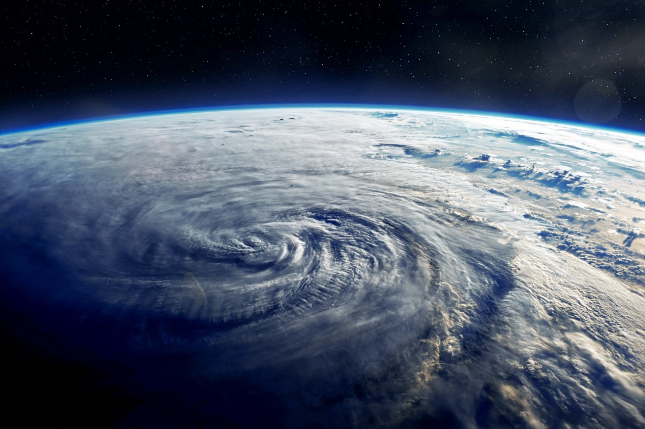
Residents of the West Coast are bracing for what forecasters are warning could be a monster of a bomb cyclone in the coming days. This storm system will bring dangerous impacts to Washington, Oregon, and California through the weekend and into next week.
This particular bomb cyclone is coming all the way from India through the northern Pacific Ocean. With its tropical origins, it is no surprise to learn that some weather forecasters are predicting that this storm system will rival tropical features and hurricanes in strength and intensity.
The system is a merger of the former Severe Tropical Storm Namtheun in the western Pacific Ocean and a non-tropical feature that is now positioned over the northern Pacific. As of late Wednesday, the two systems were merging and moving together toward the West Coast.
As the system picks up steam, it is likely to meet the criteria for bombogenesis. A bomb cyclone is defined as a rapidly strengthening storm that contains a central pressure system that drops by 0.71 of an inch of mercury or more within a time period of 24 hours. Dangerous winds rush are created when air rushes into the vacuum created in the center of the storm as a result of the plummeting pressure.
Forecasters are predicting that the central pressure of this particular storm will drop about 28 inches of mercury. Should this happen, the system would be equal to the intensity of Hurricane Larry. This hurricane made it up to a Category 3 designation as it moved through the Atlantic basin in early September.

The first effect of this potential bomb cyclone will be the high wind gusts. These dangerous winds are potential in an area stretching from the northwestern edge of Vancouver Island, British Columbia to the Haida Gwaii archipelago. These winds may hit as high as 60 mph.
These winds will also be possible for the coastal area of Washington state and down into Oregon through Thursday. Because the center of the bomb cyclone is forecast to stay offshore, the wind gusts are not expected to exceed 50 mph.
In addition to the high winds, plenty of strong waves will dot the landscape of the coastal Pacific Northwest over the next few days. These waves will be experienced as far north as the Aleutian Islands. NOAA’s Ocean Prediction Center is warning of waves as high as nearly 50 feet in this region.
The bombogenesis is likely to trigger a series of additional storm systems. The storm predicted to move into the West Coast on Sunday and Monday is the one most likely to come with periods of heavy rain. This precipitation will be the result of an atmospheric river, creating a firehose effect of moisture primarily in Northern California.
The northern and central portion of the Golden State may see up to eight inches of rain from Sunday through early Tuesday. The measurements in the heaviest hit areas of Northern California could read up to 12 inches over that same time period.
The good news is that this rain will be a significant relief for an area of the US that has been under long-term drought conditions. As of last week, nearly half of California was considered to be under an exceptional drought, the highest level of drought measurement as measured by the US Drought Monitor.
The rain will also potentially deliver the knock-out punch for wildfire season.
Although the rain will be the story in the coastal areas and lower elevations, this system will also dump snow in the higher terrains. Each storm will deliver varying amounts of snow to the Cascades and Olympics over the weekend and into the middle of next week. Up to eight feet of snow is forecast for the highest elevations of the Sierra Nevada.
For example, California’s Donner Pass on I-80 will see the rain change to snow late Sunday with the white stuff expected to fall through the end of Monday. This heavily trafficked pass could see up to two feet of snow by the time that the system has pushed through, snarling traffic and creating a mess in this area about 40 miles to the west of Reno.

January 21, 2024

January 19, 2024

January 18, 2024