
Heavy Rain, Flooding, and Chance of Severe Weather Staring Down the Southern U.S.
January 22, 2024
Posted: July 29, 2021 11:44 am


Wildfire Risk Heightened as Pacific Northwest Remains Dry
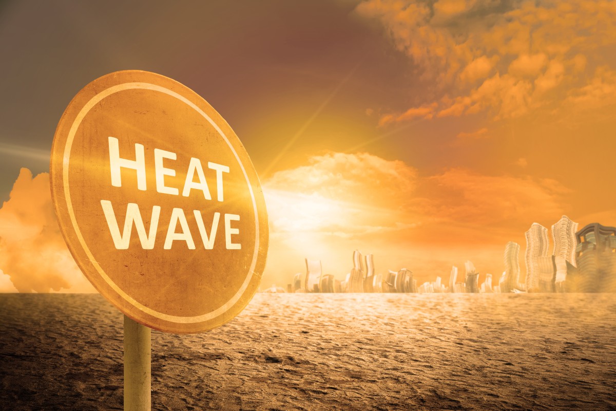
After a historic heatwave that gripped the Pacific Northwest at the end of June, another round of steamy temperatures is on the horizon.
An area of high pressure is currently building over the Northwest and down through the central California valleys this week, bringing another chance of record-breaking temperatures to the weary region. Temperatures are expected to soar in the coming days as this high pressure digs in. While the mercury will be well above average in many places, this intense heat is not expected to last as long as the wave that ravaged the region last month.
Like the last heatwave, the normally temperate cities of Seattle and Portland will be sizzling by the weekend. The good news is that the mercury should stay below the historic temperatures of the prior heat. Portland is forecast to see readings around 90 degrees on Thursday before closing in on the triple-digit mark on Friday. The normal high temperature for the end of July hovers in the mid-80s. The record high for Rose City was set last month when the temperature spiked to 116 degrees.
The most intense heat in Washington will set in over the weekend. The central part of the Evergreen State is forecast to see readings around 105 degrees on Friday and Saturday. Over in the northeast corner of the state, Spokane is expected to hit 100 degrees on Friday and Saturday. The reading on Saturday may bring down the previous daily record for that date of 103 degrees.
This high pressure and corresponding rising temperatures will extend southward into the central California valleys where readings will hover between 100 and 105 degrees.
In addition to the heat, the region is also continuing to see worrisome drought conditions. For example, Seattle has now gone 43 days without any measurable precipitation. With no rain in the immediate forecast, the Emerald City is likely to hit the 50-day mark. The all-time record for no measurable precipitation is 55 straight days.
The lack of rain will also serve to intensify the wildfire smoke permeating through the region. Hazy skies will be the story throughout Spokane and down into Boise, Idaho, and beyond. Residents in this region will need to be aware of changing air quality conditions as the heat and dry weather intensifies throughout the weekend.
According to the National Interagency Fire Center, there are nearly 80 large wildfires in the US. The great majority of these blazes are burning in the western half of the nation, including 20 in Idaho, 10 in Washington, and 19 in Montana.
A cooler weather pattern is set to arrive on Sunday for much of the area. However, this change in weather may also increase the risk of thunderstorms. While the rain will be a welcome relief, the storms also bring the potential of lightning strikes further aggravating the continuing wildfire risk.

January 21, 2024

January 19, 2024

January 18, 2024
