
Heavy Rain, Flooding, and Chance of Severe Weather Staring Down the Southern U.S.
January 22, 2024
Posted: March 16, 2022 11:46 am


Fire Danger Elevated as Gusty Winds Pick Up
The rain and wintry precipitation that has been impacting the start of the week throughout parts of the West Coast is nothing compared to what Mother Nature has in store for the upcoming weekend.
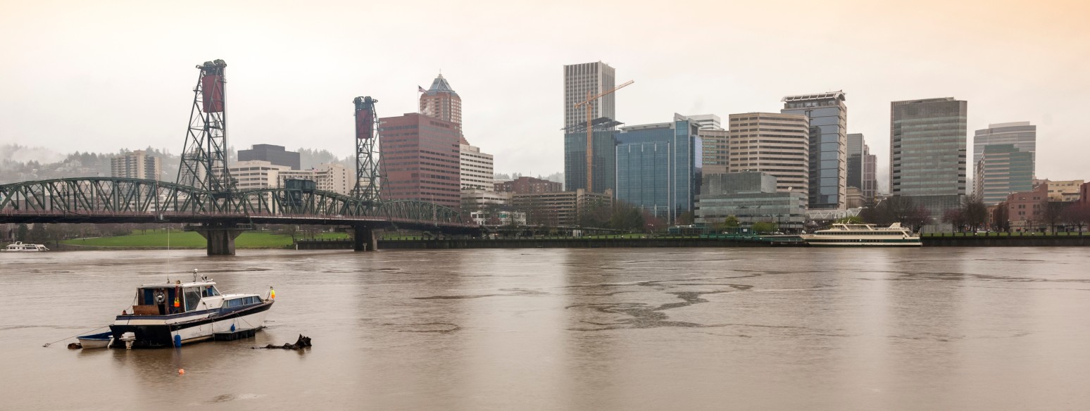
While spring does not officially begin until Sunday, another massive storm system is expected to slam into the Pacific Northwest to close out the week. The area will see a brief lull in active weather on Wednesday and Thursday before the new system starts to settle in and wreak havoc across a large portion of the Pacific Northwest.
Tuesday was a mixed bag for much of the Northwest. Although the Seattle area was relatively quiet, localized flooding to the south along the busy Interstate 5 corridor was triggered after a day of persistent rain. The moderate temperatures in place kept the snow levels between 4,000 – 6,000 across the Cascade Mountains.
The upcoming system will pack a bigger punch than the Tuesday disturbance, bringing colder air, strong winds, and a greater chance of snow at the higher elevations.
The rain will start to pick up late Friday in parts of western Oregon and Washington. With high temperatures in the 50s on Saturday for much of the region, this precipitation will remain as rain for the lower elevations. However, a colder air mass accompanying the system will encourage snow levels to drop much lower than the Tuesday storm did.
Snow levels on Saturday during the daytime hours will hover between 3,000 and 4,000 feet. By the time the sun goes down, these levels may drop below 2,000 feet. This may make travel across the passes difficult late Saturday and into Sunday.
The rain will expand southward into Central California and northward to the Canadian border throughout the day Saturday. The heaviest rainfall is forecast to hit Oregon and into central portions of California. Donner Pass will likely see a significant snow accumulation out of this system.
Although the heaviest rain will be farther to the south, the Skokomish River near Potlatch, Washington is predicted to hit minor flood stage by Saturday. The city of Seattle has already measured 123% of its average rainfall this year, putting it at risk of issues over the weekend.
The storm system will plunge into the Southwest on Sunday, delivering a hefty dose of mountain snow to the Sierra Nevada along with rain to the coastal areas of California as it moves in this direction. The weather maker will also bring strong winds to Southern California and into Utah, Arizona, and Colorado.
A change in the mercury is also in store for the Southwest as the system moves through on Sunday and Monday. Temperature readings will be about 5 – 10 degrees below normal for this region.
The forecast highs over the weekend for Los Angeles will tumble to the low 70s from a high of around 80 degrees on Friday. Phoenix will also see temperatures in the lower 70s to close out the weekend.
The rain will be a nice change for the dry Southwest. However, the strong winds forecast to accompany this system may present a wildfire danger to the drought-stricken corner of the U.S.
Over 25% of the West is under an extreme drought designation, according to the latest data from the U.S. Drought Monitor. Nevada and California are particularly dry this year. For instance, over 80% of the state of California is under a severe drought umbrella.
The dry vegetation that is already in place will be at risk of igniting quickly and spreading in the event of a lightning strike or a man-made event. Experts are warning residents to be diligent about extinguishing outdoor fires correctly.
This system will move over the Rocky Mountains and into the Plains states to start the week. This will bring a high chance of snow to the Front Range and northern Plains with rain and thunderstorms being the biggest threats in the southern Plains.

January 21, 2024

January 19, 2024

January 18, 2024
