Heavy Rain, Flooding, and Chance of Severe Weather Staring Down the Southern U.S.
January 22, 2024
Posted: March 21, 2023 3:34 pm


While much of the nation is enjoying soaring temperatures to usher in the first week of spring, the north-central U.S. is in store for more snow in the coming days. Is your community in the line of fire for this early spring snow?
The start of astronomical spring officially arrived on Monday, however, winter is still fully entrenched across a large stretch of the northern Plains and the Upper Midwest. In fact, some areas of Minnesota may be in the running to see snowfall this week that puts them in the top-five lists of the snowiest seasons in history.
The incoming snowfall is the result of the same storm system that has been punishing California in recent days. The weather maker is now coming down from the Rockies and picking up more energy on its way into the northern Plains. The merger of this energy with the cold air already in place across the north-central U.S. will bring the potential of snow in a strip stretching from the Dakotas and into the Great Lakes.
Forecasters are calling for a few inches of accumulation in a zone from northern Wyoming up into southern Ontario in Canada. The most significant accumulation is predicted for the Dakotas and in portions of Minnesota. The snow will start in the Dakotas on Tuesday before hitting Minnesota, Wisconsin, and northern Michigan late Tuesday night and into Wednesday.
Minnesota will be hit particularly hard with this snow maker. The North Shore of Lake Superior and the north-central portions of the state could pick up 6 – 12 inches of new accumulation. This much snow is also possible along the border of North Dakota and South Dakota.
Travel disruptions are a good possibility along some stretches of interstate 29, 35, and 94. The presence of strong winds could create more issues, triggering reduced visibility and blowing snow.
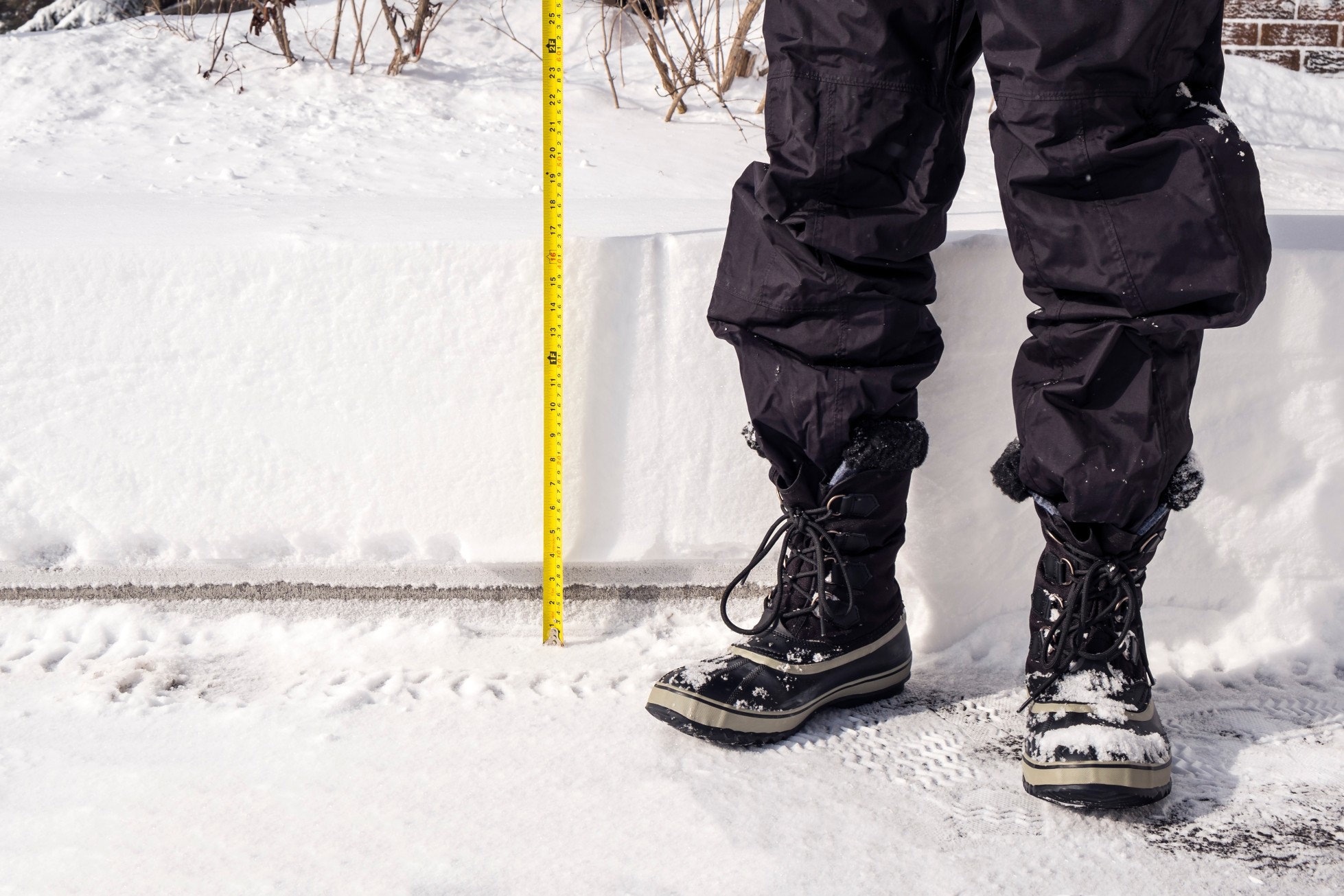
This snow storm is just another in a long list of weather events to impact this part of the nation over the last few months. Duluth, Minnesota could see its top-five snowiest winter in recorded history with this system. The city in the northern part of the state has already recorded 122 inches of snow, putting the season in sixth place. Duluth will need to pick up 6.2 inches of snow to move past the winter of 1996 – 1997 and into fifth place.
The city also boasts a current snowpack of 35 inches currently on the ground. The snowpack for the season hit its highest point of the season in early March at 37 inches. This was enough to make it the deepest snowpack since the 2004 – 2005 winter season.
The month of March has also been especially snowy for Duluth. The city will only need to see one inch of snow this week to take the month into the top five for the snowiest March on record.
Down the road in Minneapolis, you will also find residents that are growing increasingly tired of all of the snow this winter. The Twin Cities has registered over 80 inches of snow this winter, over 30 inches more than the average by this time of March. This has been enough snow to put 2022 – 2023 in the top 10 of the snowiest winters on record. Minneapolis needs just one more inch of snow to put this season into the top seven.
In addition to frustrating residents, the amount of snow this winter in Minnesota could come at a cost when the snowpack finally begins to melt. Because there is still so much snowpack throughout the Red River Basin, there are greater odds that this snow triggers extreme flooding when the temperature warms up this spring. This area is at risk of flooding issues if the snow melts too quickly.
Did you find this content useful? Feel free to bookmark or to post to your timeline for reference later.

January 21, 2024

January 19, 2024

January 18, 2024