Heavy Rain, Flooding, and Chance of Severe Weather Staring Down the Southern U.S.
January 22, 2024
Posted: March 11, 2023 4:39 pm


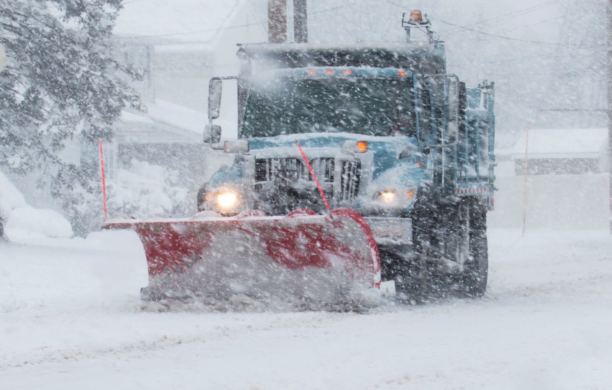
A new winter storm is already dumping more snow in a large portion of the northern Plains and the Upper Midwest. The latest weather event comes right after last week’s storm that hit the north-central U.S. with a vengeance. Here is what you need to know about the second storm that is firing up in the region.
The snow with this second system began to fall late Friday and is expected to continue through the weekend, creating more travel issues for this storm-weary part of the country. The latest event got its start with the atmospheric river that is currently parked over California. The storm made its way to the east, traversing over the Rockies before ejecting out into the northern Plains late Friday.
It has already been a dangerous week on the roads in the north-central U.S. with headaches set to continue this weekend. At least two fatalities were blamed on the weather after a head-on collision on Route 63 near Racine, Minnesota on Thursday. Local officials said that wind and blowing snow created icy conditions and low visibility on roadways throughout the state.
After firing up in the northern Plains late Friday, the snow will move to the east on Saturday morning, hitting Minnesota and Iowa before arriving in Wisconsin. By Saturday evening, the flakes are expected to fly in Michigan and portions of Illinois and Indiana.
Forecasters are predicting that the weekend storm will spread snow farther to the north when compared to the storm that hit the area earlier in the week. Minneapolis will once again be in the impact zone for more of the white stuff. The last storm was responsible for another 2.7 inches of snow at Minneapolis-St. Paul International Airport, bringing the seasonal total up to 77.4 inches. Another 1 to 3 inches of snow is expected to hit the Twin Cities this weekend, carrying the seasonal total up to over 35 inches above average.
Other cities that can expect to see more accumulation include Chicago and Milwaukee. However, snow totals are predicted to come in at the lower end, with just an inch or two of accumulation. The time frame for the snow in this part of the Upper Midwest will range from Saturday night into Sunday.
The heaviest amounts of snow will fall closer to Canada. For instance, you can expect a zone of 3 to 6 inches of snow from the northeastern corner of Montana and into western Michigan’s Upper Peninsula. This includes the northern tier of North Dakota, Minnesota, and Wisconsin.
Up to a foot of new snow may fall in northeastern North Dakota and the northern fringe of Minnesota. This includes the cities of Grand Forks, North Dakota and Duluth, Minnesota.
The snow will be enough to impact travel on roadways throughout the region. Air travel may also be affected, particularly in hub cities such as Minneapolis and Milwaukee.
High winds are also expected in the northern Plains expanding into the area surrounding Lake Superior. The winds will be strong enough to create near-blizzard conditions as it pairs with the falling snow. Be sure to be extra cautious if headed out onto the roads during this time.
Cold air will follow behind the storm system in the northern Plains and the Midwest. Temperatures will be frigid when compared to normal March readings, falling as much as 20 degrees below average by the end of the weekend.
A developing nor’easter off of the Atlantic Seaboard may be able to absorb the energy associated with this storm system, providing more fuel for the strengthening storm. This merger could spell trouble for the interior Northeast at the beginning of the work week.
Did you find this content useful? Feel free to bookmark or to post to your timeline for reference later.

January 21, 2024

January 19, 2024

January 18, 2024