
Heavy Rain, Flooding, and Chance of Severe Weather Staring Down the Southern U.S.
January 22, 2024
Posted: February 28, 2021 11:23 am


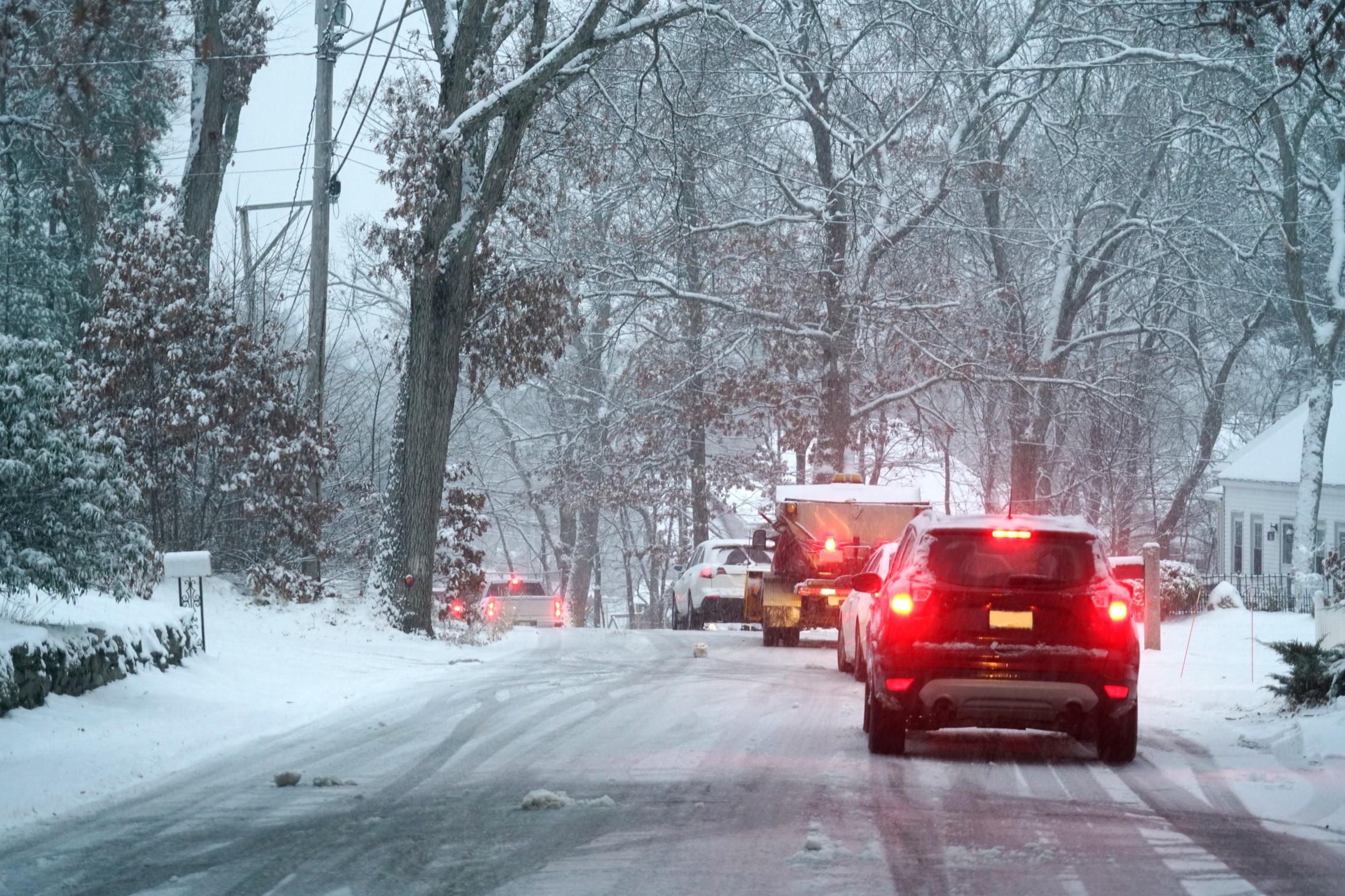
The second of two storm systems to jet through the northern tier of the nation is now making its way into the Upper Plains and the Midwest. The first system brought a moderate amount of snow to the same area to start the weekend. Although the precipitation should seem like old hat by now, it may still lead to a messy commute on Monday morning.
Brief Periods of Snow to Round Out Weekend One-two Punch: The wintry weather made its presence known again on Friday when a quick-moving storm system plowed through much of the northern tier of the nation. A new round of snow is delivering snow through South Dakota and into northern parts of Nebraska. Other areas set to receive this wintry blast include Minnesota and the northwestern corner of Iowa.
By Sunday, the system will push into the Twin Cities and through Wisconsin and northern Michigan. The bands of snow should move out of the area by Sunday evening. While the snow may be heavy at times, it will not affect a large area. However, forecasters warn that the rate of snowfall may exceed more than one inch per hour, particularly in the Upper Peninsula of Michigan and northern Wisconsin. Some of these areas may see up to six inches of snow by the time the storm moves on.
Break Followed by More Snow: There will likely be a brief break in the action on Sunday evening with another burst of snow moving in overnight on Sunday. This round will only yield about one or two inches of new snow, primarily in the northern sections of Michigan and Wisconsin. Because this snow is expected to fall in the overnight hours, motorists may encounter a tricky commute on Monday morning.
Colder Temperatures Also on the Way: The cold precipitation will not be the only reminder that winter is still here. Along with the snow, the new weather pattern to start the week will also bring colder temperatures. Cities such as Green Bay, Wisconsin and Minneapolis are not expected to climb much above 20 degrees on Monday. This is approximately 5-10 degrees below normal for the beginning of March.
The good news is that the temperatures are expected to rebound in the central Plains and northward by Tuesday. However, another blast of colder air is on tap for the Great Lakes and Upper Midwest by the time the weekend rolls around. This back and forth on the mercury is expected during this transitional season linking winter to spring.

January 21, 2024

January 19, 2024

January 18, 2024
