Heavy Rain, Flooding, and Chance of Severe Weather Staring Down the Southern U.S.
January 22, 2024
Posted: June 20, 2023 9:30 am


Many areas of the southern Plains, the Gulf Coast, and the Southeast will remain at risk of seeing derechos in the coming days before the severe weather finally lifts from this region. Here is what you need to know about the risk of hazardous weather heading into the new week.
A surge of warmth and moisture in place in the southern Plains and the Gulf Coast will fuel the development of multiple rounds of storms this week. Monday’s threats will be centered along the southeastern zone of the heat zone, including the Blue Ridge Mountains of North Carolina.
Cities such as Atlanta, Tampa, and Orlando are also at risk of seeing storm development late Monday.
It has been a rocky week for weather over Texas and across the Gulf Coast and into the Southeast in recent days as long-tracking and powerful thunderstorm cells sprung up over the region. Labeled as derechos, these storm systems developed along the northern tier of a heat dome that has been anchored over Texas.
Forecasters with the National Weather Service (NWS) Storm Prediction Center (SPC) define a derecho as a zone of wind damage that stretches for over 400 miles long and measuring at least 60 miles wide.
While most of these severe storms that ignited across this corner of the nation last week did not meet this specifically defined criteria, there were at least two complexes that fit this definition.
The first official derecho took root on Thursday afternoon across southwestern Kansas and into the Oklahoma Panhandle before churning into northeastern Texas. The second derecho occurred on Friday morning in northeastern Louisiana, eventually moving to the southeast and into the lower Mississippi Valley. Both of these complexes triggered large hail and damaging winds.
Other severe weather events last week include a cluster of storms that formed Friday night in the southern and central Plains. These storms tracked into the Southeast, bringing heavy rain and more.
Another massive cluster of storms hit the Ozark Mountains and the lower Mississippi Valley and Delta area the next night, ushering in large hail, strong winds, isolated tornadoes, and flash flooding concerns.
This same weather maker continued to bring impacts to the south-central U.S. and Southeast through the weekend, putting a damper on Father’s Day festivities.
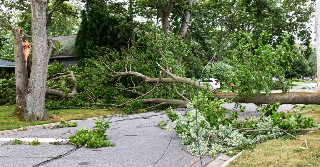
The storms did not die off completely after the sunset on Sunday. Several reports of destructive winds and large hail came in across the Mississippi River Valley late into the overnight hours.

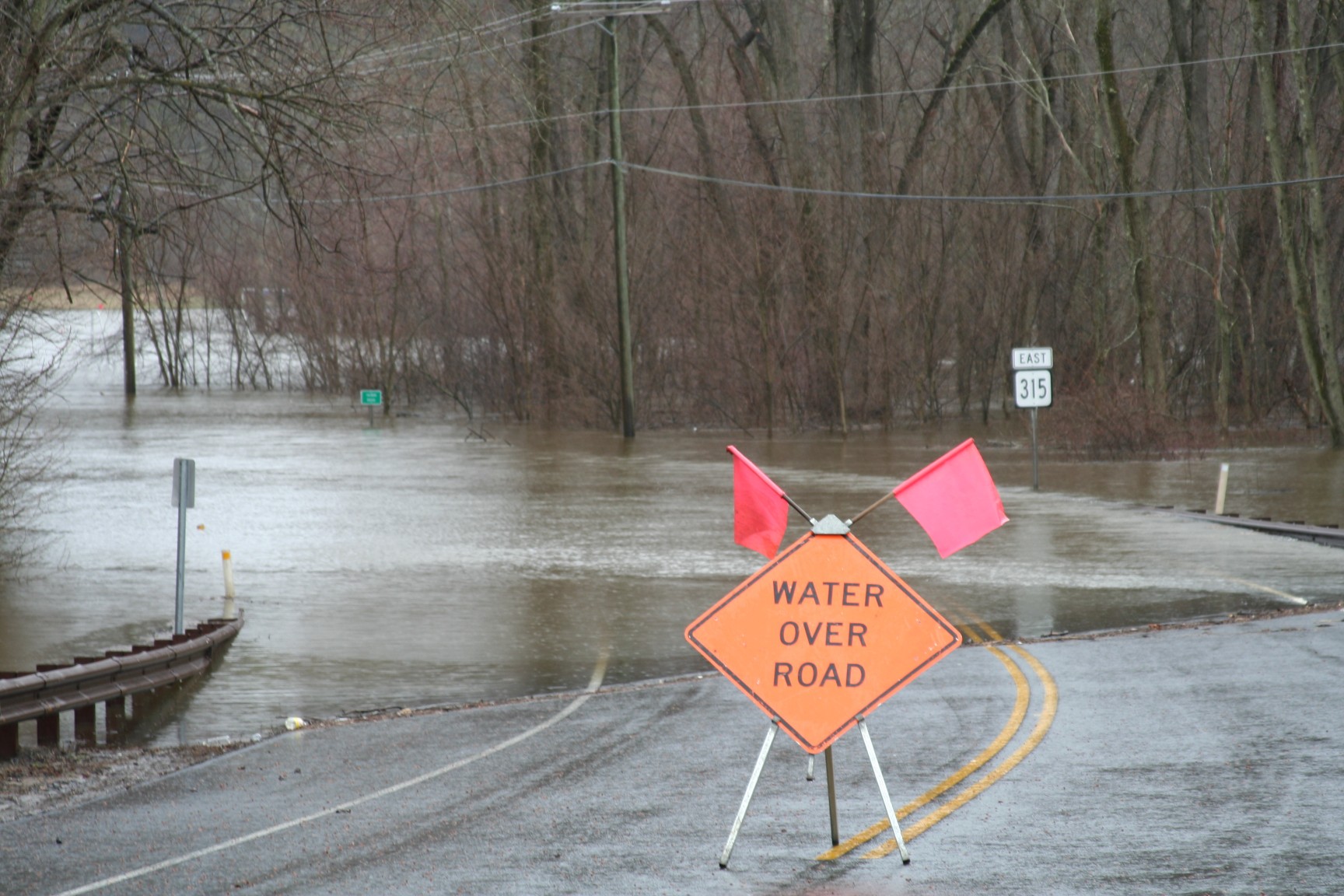
The area that has been under the gun for repeated rain showers over the last several days will be at an increased risk of flooding early this week. The heaviest hit parts of the Southeast will see up to 12 inches of rain over the course of the week.
There is also the chance that tropical moisture gearing up in the Caribbean Sea will expand northward into the Southeast. Tropical Depression Three officially formed in the central Atlantic on Monday morning, an atypical development for this time of the year.
The National Hurricane Center (NHC) warns that this depression is likely going to strengthen into a named tropical storm by Tuesday as it moves to the west and winds exceptionally warm ocean waters. Should it intensify into a named storm, it will be called Bret.
The area of low pressure spinning over the southern Plains will move to the southeast on Monday, putting areas such as southern Louisiana and across the Gulf coast in the crosshairs of severe weather to start the work week. This risk will expand as far south as central Florida and as far north as parts of South Carolina.
Forecasters are predicting that a change in the jet stream pattern will deliver relief from the threat of derechos for the southern Plains by Tuesday. However, the risk of severe weather will increase farther to the north, putting the central and northern Plains in the primary impact zone for the remainder of the week.
The type of storm cells forecast to impact this portion the Plains states through Friday are capable of producing large tornadoes.
As warmth builds over the north-central U.S. this week, you can also expect the return of the smoky skies created by the wildfires burning to the north in Canada.
The smoke is forecast to filter down into the Midwest and the Northeast over the next few days, potentially impacting air quality levels for millions of Americans. Be sure to stay abreast of your community’s air quality conditions if you are part of a vulnerable population.
Did you find this content useful? Feel free to bookmark or to post to your timeline for reference later.

January 21, 2024

January 19, 2024

January 18, 2024