
Heavy Rain, Flooding, and Chance of Severe Weather Staring Down the Southern U.S.
January 22, 2024
Posted: July 17, 2023 10:00 am


It has been a rocky summer for much of the central U.S. as storms continue to impact the region on a daily basis in some areas. Unfortunately, residents who are growing weary of the continual storm threat will need to wait some more time to see relief. More storms are in the forecast to start the new week across the Plains and the Midwest. Here is a detailed look at this stormy forecast.
A number of atmospheric factors are combining to create the ongoing threat of storms. Although the daily threat of storms can be a nuisance when trying to plan outdoor activities, the moisture is good news for communities that did not receive ample moisture over the winter and spring season.
Despite the ongoing precipitation in recent weeks, there are still some parts of the central Plains that are under drought conditions. This impact zone in Kansas, Nebraska, and Oklahoma will see more chances of rain over the next week.
Sunday brought another round of severe weather to portions of Iowa, Nebraska, and Kansas. The storms will eventually move into the middle Mississippi Valley and into Illinois, Indiana, and Ohio. The bulk of the activity will occur between Interstate 70 and Interstate 80.
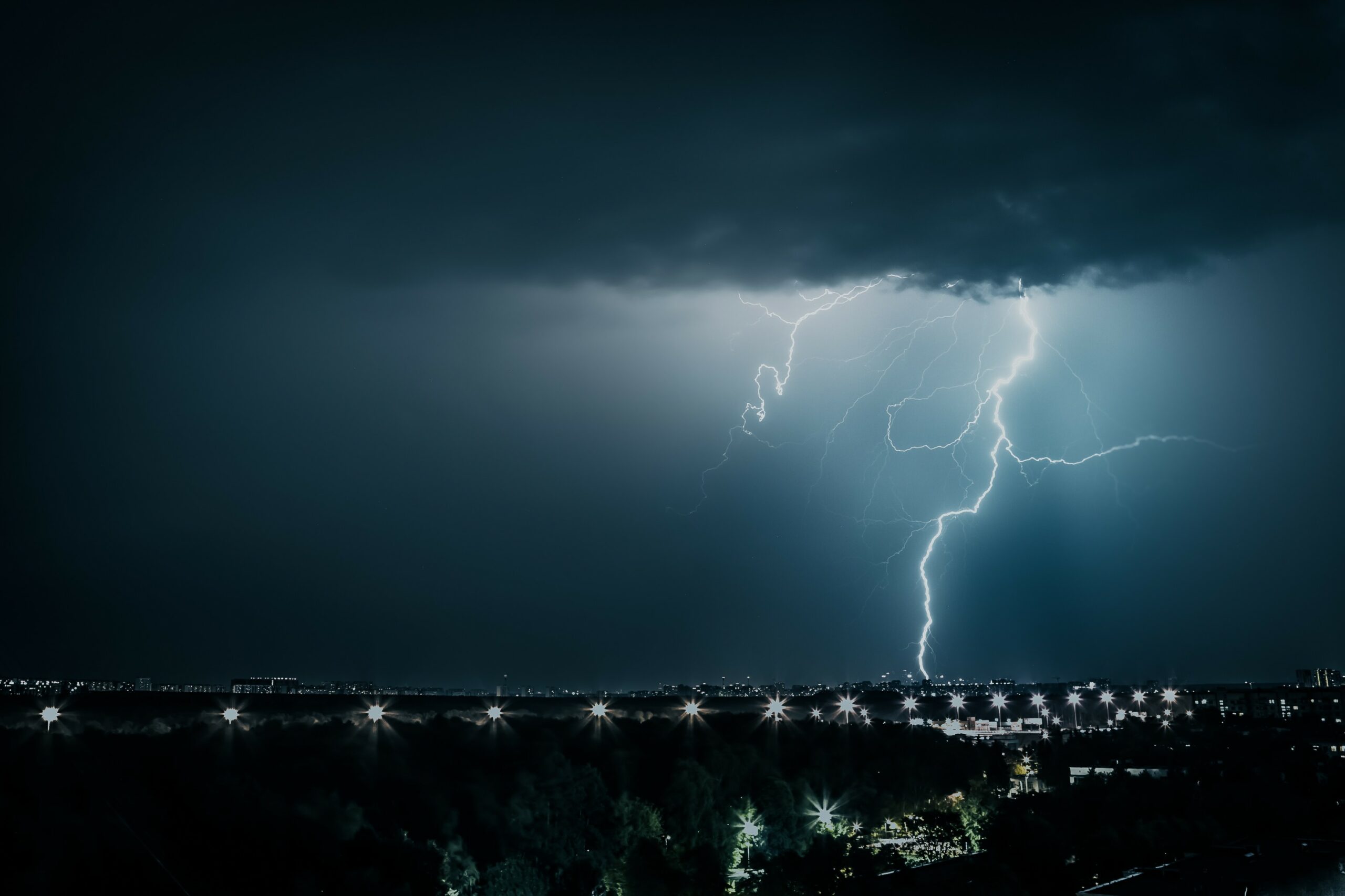
This line of storms will pack winds hitting up to 70 mph along with the potential of large hail and isolated tornadoes. Frequent lightning strikes will pose dangers to people spending the end of the weekend outdoors. In addition, the flooding downpours could create problems for motorists. Airline travel could also be disrupted across the region.
Cities that may see the potent storms develop include Kansas City, Omaha, Chicago, St. Louis, Indianapolis, and Des Moines. This means that the severe weather could impact millions of Americans heading into the new week.
The greatest risk of severe weather will push to the east on Monday, bringing the locally heavy rain to parts of the Ohio and Tennessee valleys. The storms could reach the western-facing slopes of the Appalachians by later in the day.
Monday’s storm threats are forecast to include wind gusts of up to 60 mph, flash flooding, and lightning strikes. Cities in the crosshairs of Monday’s weather event include Nashville, Cleveland, and Pittsburgh.
As with most storms during this time of the year, the greatest chance of meaningful impacts will be in the afternoon and evening hours. This makes the early part of the day the best time to plan to spend time outside.
The region will not be out of the woods on Monday. More severe weather is on deck throughout the Plains and the Midwest on Tuesday through Friday. This includes the possibility of more stormy conditions for the middle Mississippi Valley on Tuesday.
The middle of the week could bring severe weather to the Dakotas and into Minnesota. For instance, Minneapolis is forecast to see rain showers and storms on Wednesday afternoon and evening.
It is still too early to pinpoint with accuracy what parts of the central U.S. will bear the brunt of the mid-week storms. Be sure to stay tuned to the forecast in the coming days as meteorologists fine-tune their predictions.
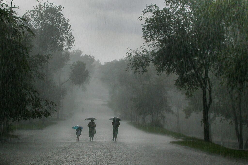
You can expect widespread rainfall amounts of up to one inch of rain through Friday throughout the Plains and the Mississippi Valley. Areas that see repeated rounds of moisture could see up to 1 to 3 inches of new rainfall. This zone includes much of the Ohio and Tennessee valleys.
However, this rain will pale in comparison to what the Northeast has seen over the last week. The Northeast and New England remain under a flash flooding threat with more rain in the forecast on Sunday and Monday.
The persistent storms are the result of the dome of high pressure set over the Southwest and into the south-central U.S. The dip in the jet stream will continue to fuel more storm cells in the coming days as the activity fires up along the dividing line of the hot and cooler air.
This weather pattern will also serve to bring in smoke from the Canadian wildfires. The north-central U.S. is likely to see the worst of the smoke and haze. Unlike last month’s smoke event in the Northeast that originated from fires in the province of Quebec, these conditions will be the result of wildfires burning in the western half of Canada.
Did you find this content useful? Feel free to bookmark or to post to your timeline for reference later.

January 21, 2024

January 19, 2024

January 18, 2024
