
Heavy Rain, Flooding, and Chance of Severe Weather Staring Down the Southern U.S.
January 22, 2024
Posted: July 22, 2023 10:44 am


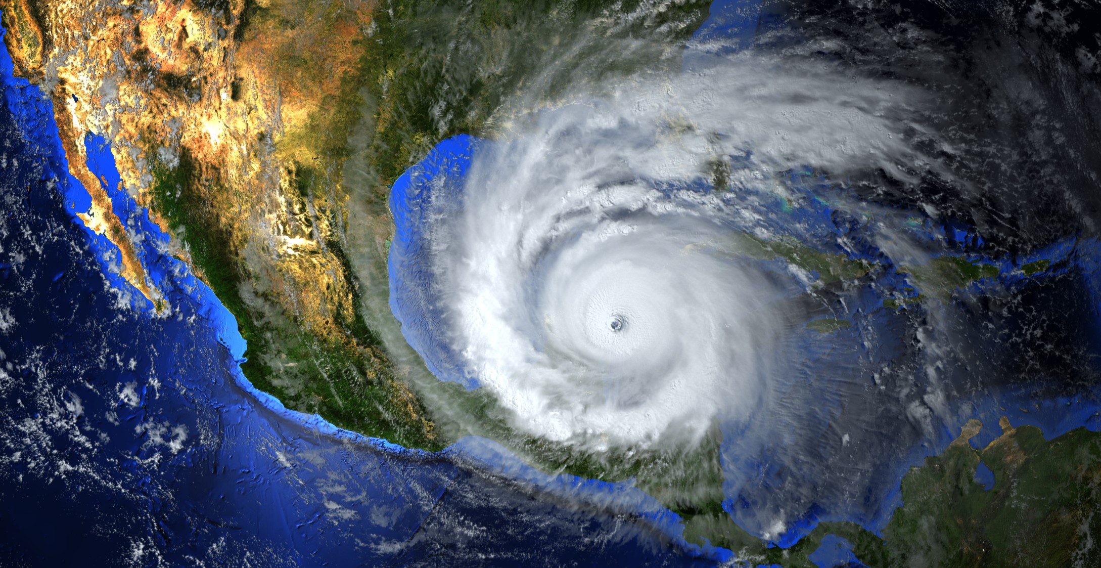
Tropical weather experts are warning that a change in the weather pattern over the Atlantic basin could trigger more activity in the coming weeks. Here is the latest update on the tropics.
It has been a relatively quiet July for the Atlantic Ocean. While Tropical Storm Calvin moved through the East Pacific and brushed past Hawaii this week, the Atlantic has been void of any major activity. Tropical Storm Don is still moving over the open waters of the central Atlantic, however, this system is not forecast to impact any land in a significant way.
This calm is typical for the month of July and into the first part of August. This quiet period is generally credited to more dry air circulating around the basin as well as a greater amount of wind shear.
You can expect more activity in the tropics heading into the meat of August and through the early part of fall. Most experts are in agreement that the part of the Atlantic located to the south of where Don is currently churning will be the most likely zone of development in the coming weeks.
It is unlikely that August of 2023 will be a repeat of August 2022. There were no named storms across the Atlantic during this entire month last year, marking the first time that this happened in 25 years.
While the tropical waves coming from Africa have been quite active this season, the strong amount of wind shear and the Saharan dust mass has limited the chances of development. However, more favorable environmental conditions are forecast to be in place heading into August.
The National Hurricane Center (NHC) is currently monitoring a tropical wave that was already moving away from Africa on Friday. This wave has found a zone with little wind shear and ample amounts of moisture, giving it the opportunity to develop further.
This wave is predicted to land in an area with greater amounts of shear when it approaches the Windward and Leeward Islands next week. This encounter would likely stymie its development before it reaches the Caribbean.
More waves are expected to move to the west from Africa as the peak of the Atlantic hurricane season kicks into full gear. There is the chance that the Caribbean could see its next named storm by the end of July or the beginning of August.
Unseasonably warm ocean waters in the Caribbean and near Florida will provide fertile ground for any systems to intensify. Meteorologists have been warning that the exceptionally warm waters just off the coast of Florida could translate to an active end to the hurricane season.
The current models indicate that a tropical wave could find supportive conditions over the northern Caribbean in the early days of August. However, there is also the chance that Hispaniola and Cuba could block any intensification. You will want to keep an eye on this development if you live in Florida or the Caribbean.
The next two names on the list of storms in the Atlantic are Emily and Franklin. There have been four tropical storms thus far this year in the basin, starting with Arlene in early June and followed by Bret, Cindy, and Don.
Tropical Storm Don is forecast to continue swirling in the central portions of the Atlantic. The feature will gradually lose its intensity as it moves to the northwest and into cooler waters. This weakening is predicted to begin to happen by Sunday morning.
There have been no hurricanes in the Atlantic in 2023.
Did you find this content useful? Feel free to bookmark or to post to your timeline for reference later.

January 21, 2024

January 19, 2024

January 18, 2024
