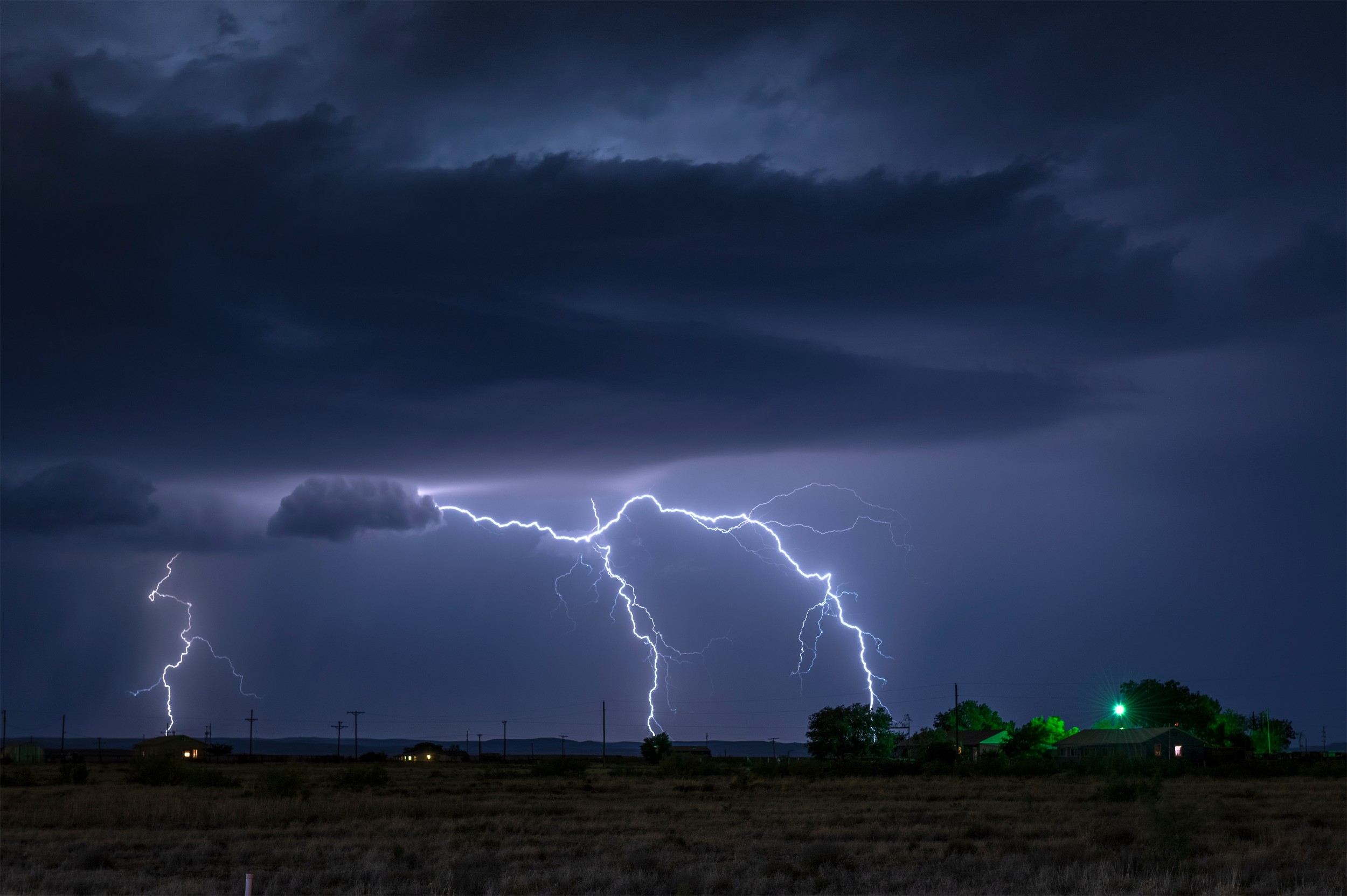
Heavy Rain, Flooding, and Chance of Severe Weather Staring Down the Southern U.S.
January 22, 2024
Posted: April 19, 2023 1:02 pm


A large swath of the country stretching from the central Plains, down into the Gulf Coast, and up through the Appalachians and the mid-Atlantic will be under the gun for thunderstorm development for the next four days.
Here is what you need to know about the timing and the impacts of this intense weather maker.
Millions of Americans will see the threat of stormy conditions through at least Saturday. The impacts of these storm cells will include heavy rain, flooding, hail, and tornadoes.
According to the National Weather Service (NWS), almost 20 million people will be at risk of severe weather on Wednesday. This potential impact zone includes the cities of Des Moines, Kansas City, Wichita, and Oklahoma City.
Wednesday’s storms will be fueled by the warming of the air temperatures that pair with a mass of humidity. The jet stream will pump in more energy in an area from north-central Texas up into the southern tier of Wisconsin and Minnesota, increasing the risk for storms later into the evening hours.
Unfortunately, the timing means that many of these storms will fire up after the sun goes down.
Forecasters are labeling Wednesday’s event as a moderate risk, predicting a good chance of large hail and isolated tornadoes. Travelers along Interstate 80 between Omaha and Des Moines could bear the brunt of these impacts with torrential rain in the picture.
The storms farther to the south are predicted to be more isolated in nature. However, areas of development in Oklahoma and Texas may still be capable of producing tornadic activity.
The only silver lining of Wednesday’s forecast is that some portions of the central Plains are still dealing with a level of drought, meaning the heavy rainfall could help to mitigate these dry conditions.
Thursday’s threat will be centered on an area from northeastern Texas into southern Wisconsin, putting over 40 million people in the crosshairs.
This will encompass the populated cities of Little Rock, St. Louis, and Chicago with the worst of the impacts predicted in southern Missouri through central portions of Texas. Dallas will be on the edge of the worst of the weather.
These storm cells are expected to produce large hail and strong winds. Residents should also be aware of the risk of isolated tornadoes. There is also a concern about localized flash flooding across the Ozark Mountains.
Yet another storm is in line to end the work week. This weather maker will develop along the Gulf Coast on Friday, before pushing through the Appalachians and into the eastern Great Lakes and beyond over the weekend.
Friday’s impacts will begin to be felt during the afternoon hours along the Gulf Coast area of Texas and Louisiana. The storms will eventually push into Arkansas, Mississippi, and the western edge of Tennessee before tracking into southern Kentucky and the northwestern corner of Alabama.
The NWS estimates that 20 – 30 million Americans will see the impacts of these storms on Friday.
Forecasters are still unsure if the primary impacts of this new storm system will come in the form of a steady rain or numerous rounds of thunderstorms. There is also a good chance that tornadoes develop out of this storm. Saturday’s severe weather will impact approximately 30 million people.
Flooding could be an issue along some roadways in the southern and central portions of the Appalachians on Saturday. In addition to the heavy rain, the storm will also reduce visibility for motorists.
While the day will likely start calm on Saturday for the Atlantic Seaboard, storms are in the forecast for the evening and overnight hours in places such as Washington, D.C., Baltimore, and New York City.
The good news is that this is predicted to be a fast-moving weather system. The bad news is that the storms could fire up and expand in mere minutes, catching many people off guard. Enabling your smartphone weather notifications will help you to stay abreast of any developing conditions coming toward your area.
Although the storms will move quickly through the Gulf Coast and the Southeast, there is a chance that the system could slow down as it moves into the Northeast. This means that the rain and potential of storms could still be around on Sunday for the Big Apple.
Did you find this content useful? Feel free to bookmark or to post to your timeline for reference later.

January 21, 2024

January 19, 2024

January 18, 2024