Heavy Rain, Flooding, and Chance of Severe Weather Staring Down the Southern U.S.
January 22, 2024
Posted: October 9, 2023 7:55 am


It was a gorgeous weekend across the Pacific Northwest, however, the start of the new work week will usher in a drastically different weather pattern. Here is what you can expect in the coming days in this corner of the U.S.
Temperatures Forecast to Fall Below Historical Average
Cooler and wetter conditions are back in the forecast for the Northwest, potentially bringing snow to the higher elevations while also helping to relieve the drought in other areas. It was a dry start to the month of October, pairing with temperatures that came close to breaking all-time highs for this time of the year in several communities.
A new weather maker coming in from the Pacific Ocean will bring significantly cooler temperatures along with a good dose of precipitation. The temperatures will feel even cooler when compared to the unseasonable warmth that residents enjoyed over the weekend.
The mercury will now drop below the historical average as a cold front pushes through the region. The coastal communities of the Northwest saw the cooler weather Monday morning as an Arctic air mass encroached into the region.
The arrival of the cold front will bring temperature readings down up to 25 degrees when compared to what cities such as Portland and Seattle saw over the last few days. The past weekend also brought plenty of sunshine, another trend that will reverse this week.
For instance, after seeing readings climb to near 80 degrees in some spots on Saturday, Seattle will have to settle for a forecast of highs in the 60s on Monday and only the upper 50s by the middle of the week. The consistent cloud cover and the chance of rain showers over the next few days will make it feel even cooler.
Those in the western half of Oregon will also experience the dramatic shift in the conditions. The college town of Eugene basked in the warmth of 80-degree days over the weekend along with plentiful sunshine. This weather pattern will be replaced with forecast highs that top out in the upper 60s this week.
The cool air will move to the south as the week progresses, dipping as far as Southern California. Los Angeles will fall into the 70s on Tuesday and Wednesday after experiencing a string of days in the low 80s.
Where to Expect the Moisture and in What Form
The rain will also be a major plot line for the weather this week, particularly in Washington and Oregon. A surge of energy will offer a persistent chance of precipitation, a pattern that is normal this time of the year in the Northwest.
Portions of the Northwest are still dealing with drought conditions, meaning that this moisture will be good news for many communities. However, the recent burn scars in the Cascade Mountains could pose a problem in the form of flash flooding.
You can expect rainfall amounts to remain under 1 inch across western Washington, Oregon, and into Northern California. The Oregon Coastal Range could pick up slightly more than an inch.
The dropping temperatures will also support the development of snow over some of the mountainous areas. The good news for motorists is that the major mountain passes should remain under the cover of rain. Snow levels will likely stay over 6,000 to start the week.
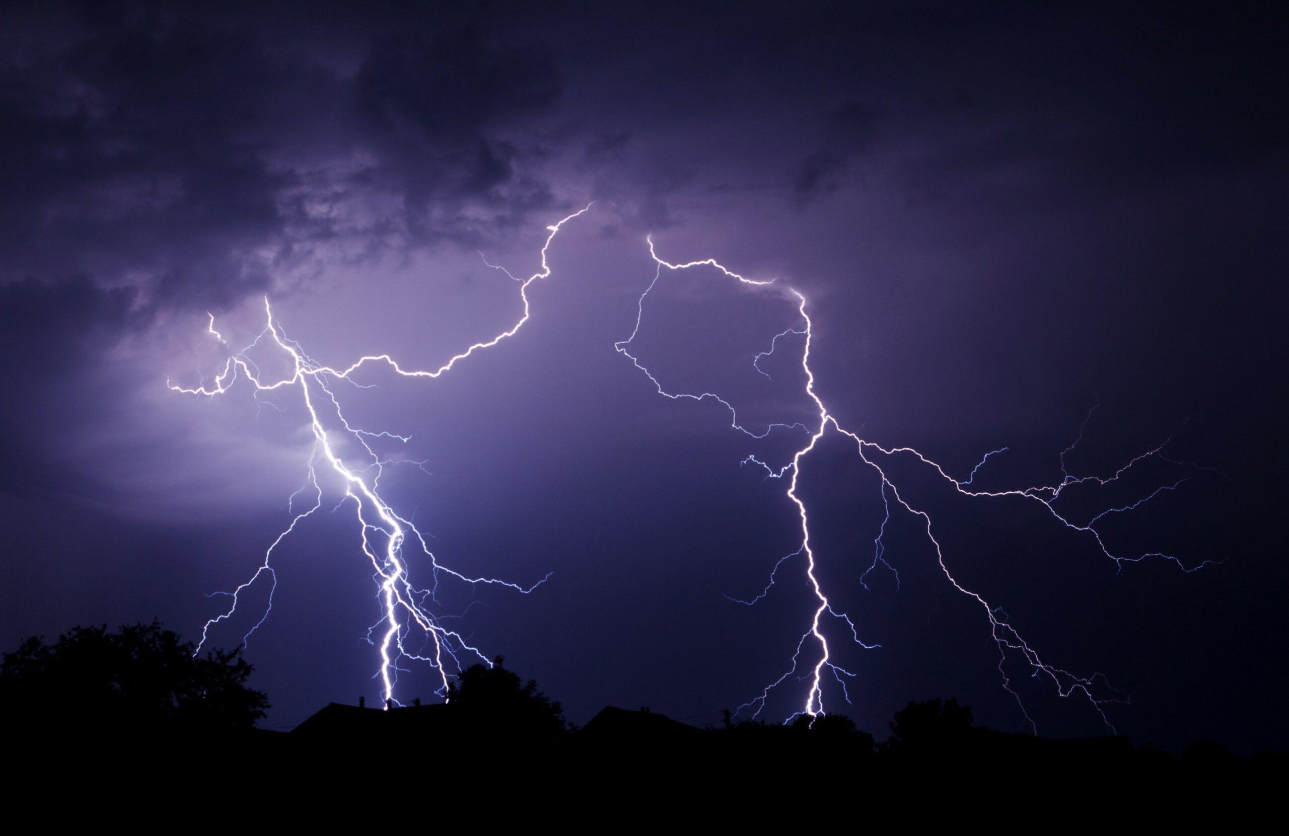
A second and stronger push of moisture by the middle of the week will usher in more rain to portions of Washington and Oregon. This rain will also likely infiltrate into Northern California on its way to the Rocky Mountains. This storm system will bring the potential of frequent lightning strikes and flash flooding.
This secondary system will mark another chance of snow for the upper terrains of both the Cascades and the Rockies. The highest peaks in Montana, Idaho, Wyoming, and Colorado will be most likely to see flakes fly with some accumulation possible.
Did you find this content useful? Feel free to bookmark or to post to your timeline for reference later.

January 21, 2024

January 19, 2024

January 18, 2024