Heavy Rain, Flooding, and Chance of Severe Weather Staring Down the Southern U.S.
January 22, 2024
Posted: February 23, 2023 4:02 pm


A cross-country winter storm is pushing to the northeast on Thursday, leaving many areas in its wake blanketed with snow and ice. Here is the latest on this far-reaching weather maker that has gripped much of the U.S. this week.
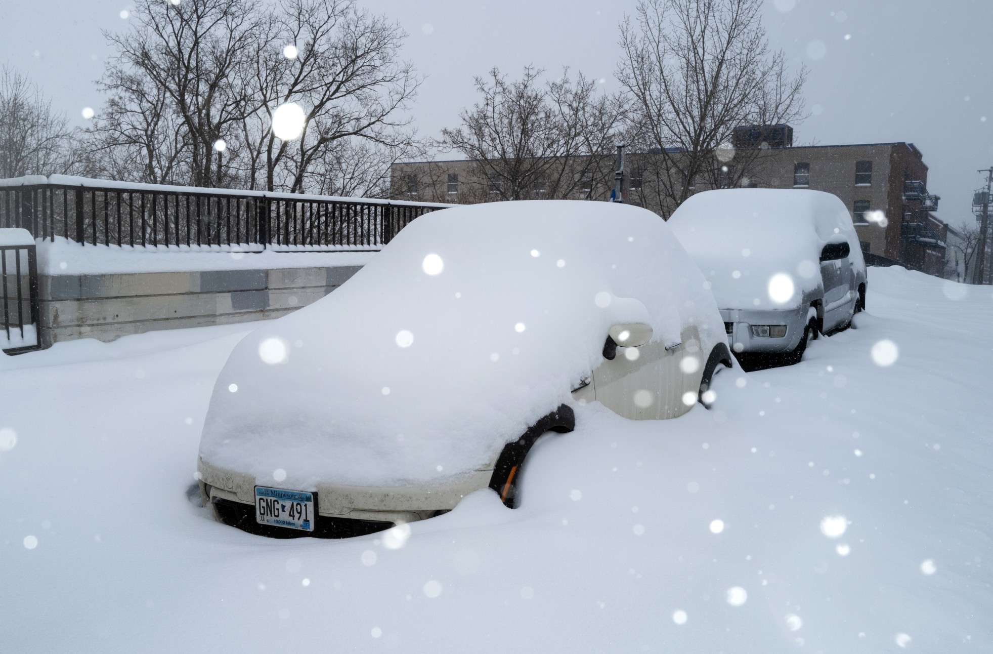
Snow showers continue to linger in the Minneapolis area on Thursday. Over 10 inches has already been reported at Minneapolis-St. Paul International Airport with more snow in the forecast. This snow is also predicted to stick around for some time due to bitterly cold temperatures. The Twin Cities will barely break the 10-degree mark on Friday, mitigating the odds of any significant snowmelt. The mercury will settle in the 20s and 30s for the weekend highs.
The snow has not been limited to the central portions of the U.S. this week. Seattle woke up to a rare snowfall on Wednesday morning, catching residents off guard just in time for the morning commute. Temperatures climbed to near 40-degrees by the afternoon, melting any accumulating snow.
It was a different story down the road in Portland where the city recorded 10.8 inches of snow, enough to make it the second snowiest day on record. This amount was also the most snow that Portland has seen in a single day since 1943 when it recorded 14.4 inches. Wednesday’s snow also shattered the city’s historical average for an entire winter season, sitting at 6.1 inches.
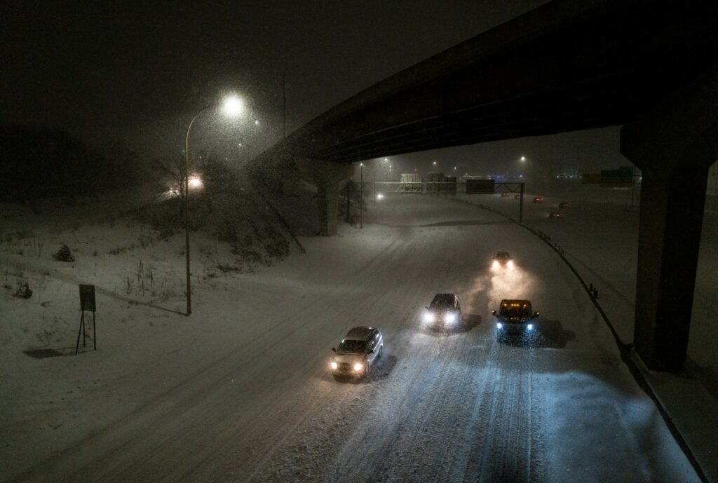
Not surprisingly, this amount of snow created quite a mess on the roadways throughout the metro area. Motorists were stranded along many highways for over nine hours. U.S. Highway 26 was particularly treacherous with at least 70 cars abandoned on the side of the road.

The Portland bus service has been providing free rides to people needed to find a warm shelter amidst the wintry weather. Another coating of snow is in the forecast for early Sunday morning as a new storm system pushes through the western U.S.
The worst of the wintry precipitation is now centered over New England. The snow and ice began to fall after midnight, making for a messy Thursday morning commute for the region. The New Hampshire State Police has responded to over 60 car crashes in the early morning hours Thursday. Law enforcement officials are asking residents to stay home if possible.
Although Boston has only picked up an inch or two of snow, the fact that it is wet and heavy has complicated the efforts to dig out. Snow of this nature is more difficult to shovel and remove from car windshields.
The Interstate 90 corridor running through New England was dealing with a mix of freezing rain and sleet on Thursday with snow falling to the north of this major highway. New Hampshire, Maine, Vermont, and the Adirondacks in northern New York are seeing significant amounts of snow out of this storm system.
The gusty winds, ice, and heavy snow have triggered widespread power outages across a large portion of the Midwest. As of Thursday morning, Michigan is reporting power outages to about 640,000 customers. This in addition to about 40,000 in the dark in Wisconsin and another 100,000 without power in Illinois.
Officials caution that it could take some time to restore power. While increasing temperatures will help to melt the ice weighing down power lines, the gusty winds will make it more difficult for crews to get to work.
It was a tumultuous day in the friendly skies on Wednesday with thousands of flight disruptions. According to the flight tracking site FlightAware, over 1,600 flights were grounded on Wednesday with over 5,500 delays. The high number of disruptions came at Minneapolis-Saint Paul International Airport. Other airports experiencing significant cancellations and delays included Denver International Airport, Detroit Metro Wayne County Airport, Chicago O’Hare International Airport, and Salt Lake City International Airport.
Did you find this content useful? Feel free to bookmark or to post to your timeline for reference later.

January 21, 2024

January 19, 2024

January 18, 2024